Skip to content

Cookies 🍪

This site uses cookies that need consent.

Learn more

Zur Powderguide-Startseite Zur Powderguide-Startseite

Language selection

Search PowderGuide

WeatherBlogs

WeatherBlog 12 2019/20 | It's raining!

And how!

by Lea Hartl 02/05/2020
"You don't say nice weather!" - That's what we learned at university. Of course, you don't say "bad weather" either. In fact, the WeatherBlog still tries to avoid such subjective expressions, after all, tastes differ and if you try hard, you can still get something out of boring weather conditions (technical term) from a meteorological point of view.

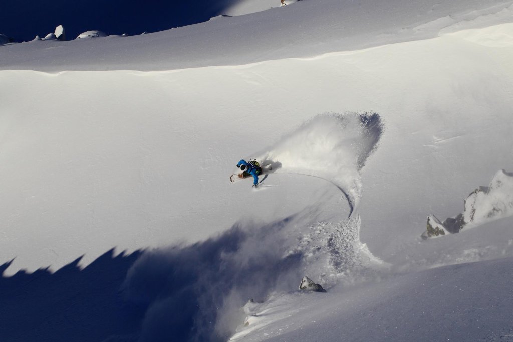
Despite our efforts to be flawlessly objective, the WeatherBlog has to admit that it's always really cool when it gets really hot. Heat! Heavy rain! Hurricane! Snow! And all within the last few days! You don't necessarily have to think that's a good combination in terms of leisure activities on the mountain. But the meteorologist's heart beats a little faster when the weather shows what it can do.

Review

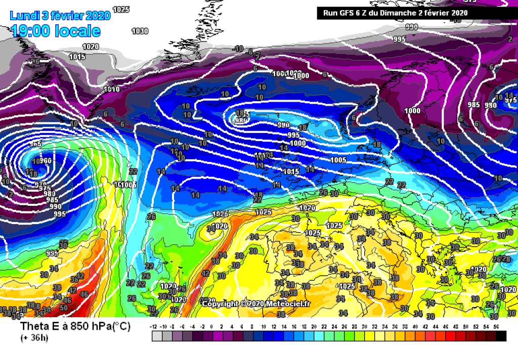
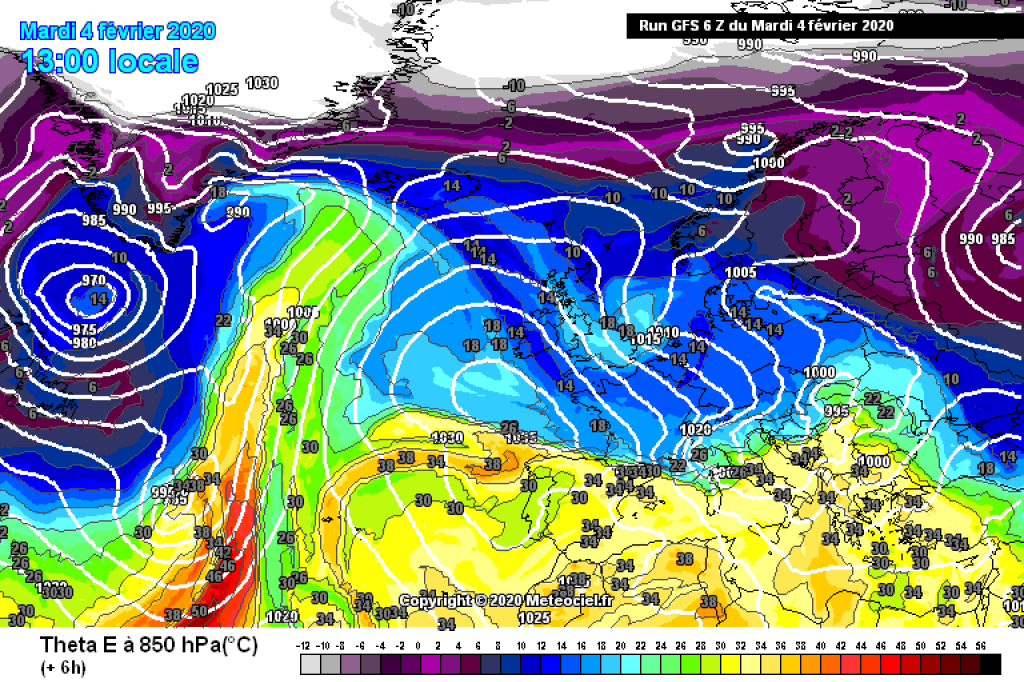
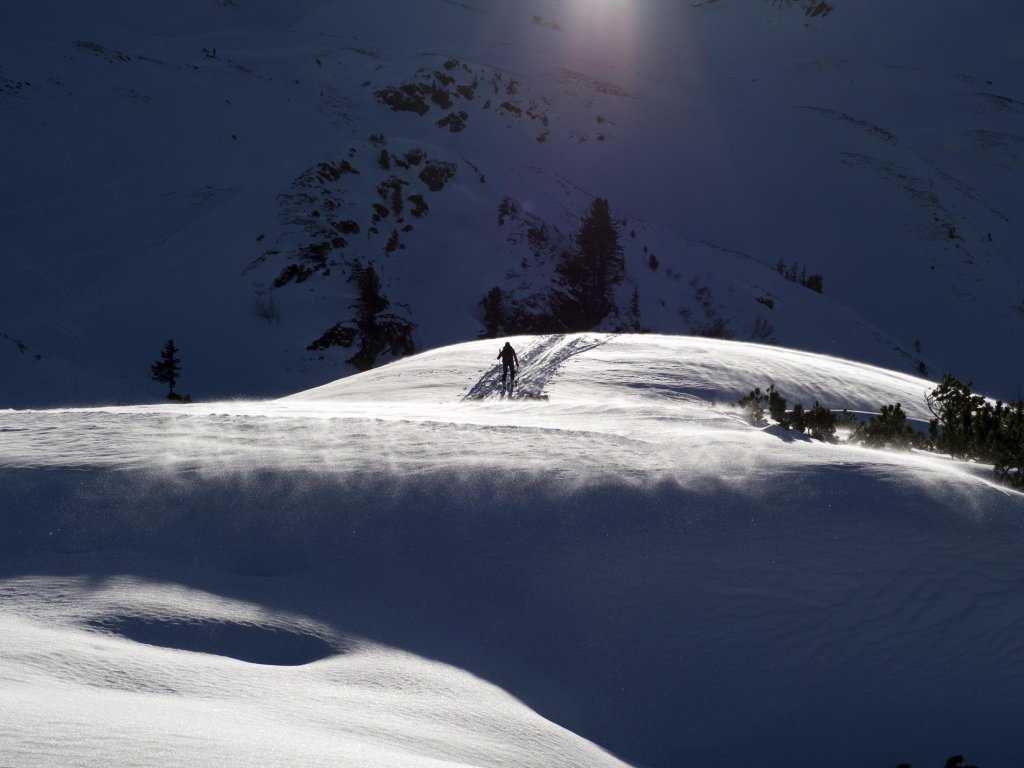
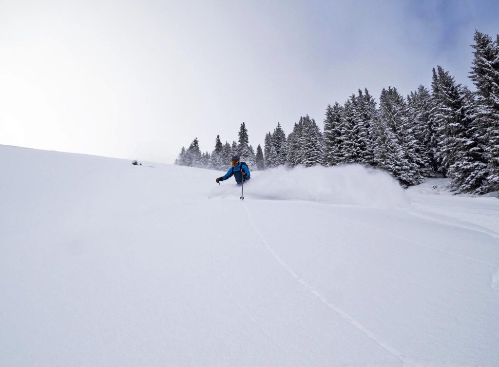
After the brief wintry interlude last week, the temperatures rose again towards early spring on Thursday. Rain up to high altitudes on Friday then made for difficult skiing conditions at the weekend, although it was still quite sunny on Saturday and the rainy Sunday was really more of an invitation to hang out on the couch, as was the even rainier Monday. The responsible front was embedded in the air mass boundary running from west to east across the northern low mountain ranges and the foothills of the Alps, which meant that considerable amounts of rain fell here - in the Black Forest, for example, up to 100l/m2 in 24 hours according to the DWD. Due to the very warm air mass in the south, the snow line was well above 2000m in some places. "Uncomfortable" would again be a very subjective assessment, so we'll limit ourselves to pointing out that avalanche warning level 4 prevailed in Tyrol below (!) 2200m.

WeatherBlogs
presented by

On Monday evening, the development of low pressure at the air mass boundary brought further momentum and the associated cold front caused extremely stormy conditions even at low altitudes, with gusts of over 100km/h in the Alpine foothills and gales in the mountains (145km/h on the Zugspitze). Behind the cold front, colder air flowed from the north towards the Alps and the persistent precipitation - finally - turned to snow during Tuesday.

Current situation

This Wednesday, the northerly accumulation will continue. From the west, the snowfall will gradually subside in the congested areas, while it will continue in the east until the evening. You can find out more about the amount of snow in the current PowderAlert. In the south, it's clear and dry with a north föhn. A look beyond the weather forecast shows: We are now on the back side of the retreating trough. It's still snowing in the traffic jam, but the big spectacle is over and a strong area of high pressure is approaching from the west.

Outlook

Tomorrow, Thursday, the trough will finally disappear to the east and it will be sunny across the entire Alpine region. Temperatures will also rise again, but not abruptly and not to such exorbitant heights as recently. Up to and including the weekend, there should be what laypeople often call "fine" weather more or less across the board - but of course we won't be using this bad word here.

In the meantime, the still very active Atlantic is brewing up its usual soup and tends to be even spicier. By the start of next week, the westerly weather should have eaten away at our short-term blocking high enough to clear it out of the way. The signs then point to mild, stormy and changeable. We're keeping our fingers crossed that this will at least lead to winter in the mountains (it's unlikely to happen in the lowlands anyway) and that the action won't take place too far north again.

Photo gallery

This article has been automatically translated by DeepL with subsequent editing. If you notice any spelling or grammatical errors or if the translation has lost its meaning, please write an e-mail to the editors.

Show original (German)

Related articles

Comments

WeatherBlogs
presented by