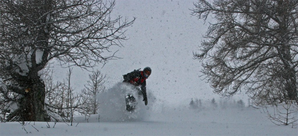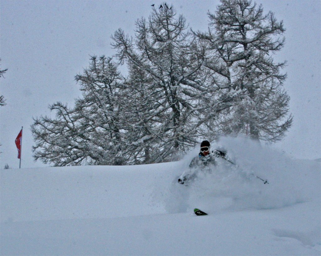
Our particular area of this PowderAlert is characterized by Gauloises in the corners of the mouth, permission to ski between trees and a certain " je ne sais quoi" that Ullr seems to find quite appealing, as the core zones of this alert - and probably the next alerts - will stretch from the Valais to the Hautes Alpes in the French-speaking region.
The time period is probably fixed until next Tuesday or Wednesday.
I can't say whether the people from the Bernese Oberland to the Arlberg also have some Gallic blood, but they could also benefit a little from Ulla's powder blessing. Everyone else is not yet on the powdery sunny side of life and will have to wait or travel.
This alert goes until Friday afternoon, January 8th
What's the sticking point with this alert?
The wind and the snow line, because with a strong west-northwest to west-southwest current, there will be quite a bit of snow, but it will also rain further down. Further up, the whole thing will be blown away on our rather poor foundations, which doesn't really make you happy either. On the positive side, almost all of the amounts mentioned will probably reach deep into the Valais and the respective main ridge.
As it will be quite warm and a lot will come with a front, there probably won't be any wild runaways that will go far up.
The snow line will probably be quite low at the beginning and at the very bottom in the Valais and will rise to 1000 to 1400 inside and around 1500 to 1600 in the western foothills of the Alps by tomorrow evening, depending on how low you are in the Valais or in the north towards Arlberg. In France possibly up to 1700 or 1800 m and then sinking again everywhere.
Friday is tricky, because it should get warmer again in the evening and possibly rain up to 2000 m in France. The north should get away with 1400 to 1700 m and in the west of Valais/northern France it should be between 1600 and 1800 m. However, the position of the low pressure core will determine whether it snows deeper if the low pressure comes to rest further south.
The amounts above 2000 to 210 0m will probably look like this by Friday afternoon:
France to Northern Valais approx. 35 to 60 cm, possibly 70 cm in potholes and I don't see much potential upwards there. From the Bernese Oberland to the Arlberg it should be 20-30 cm with individual western potholes of up to 40 cm.