Skip to content

Cookies 🍪

This site uses cookies that need consent.

Learn more

Zur Powderguide-Startseite Zur Powderguide-Startseite

Language selection

Search PowderGuide

WeatherBlogs

WeatherBlog 10-2016 | Borderline weather

The outlook remains exciting

by Lea Hartl 01/04/2016
The weather in Central Europe is currently divided into two parts. A sharp air mass boundary separates the north and east from the much milder south and west. The differences are particularly evident in Germany, where, for example, temperature differences of up to 20° were measured on Monday. In Werl (NRW), on the warm side, the daily maximum temperature was 5.5°C, while in Diepholz, 120 km away on the cold side, it was only -4.7°C. The Alps are on the warm side of the air mass boundary in a humid westerly current.

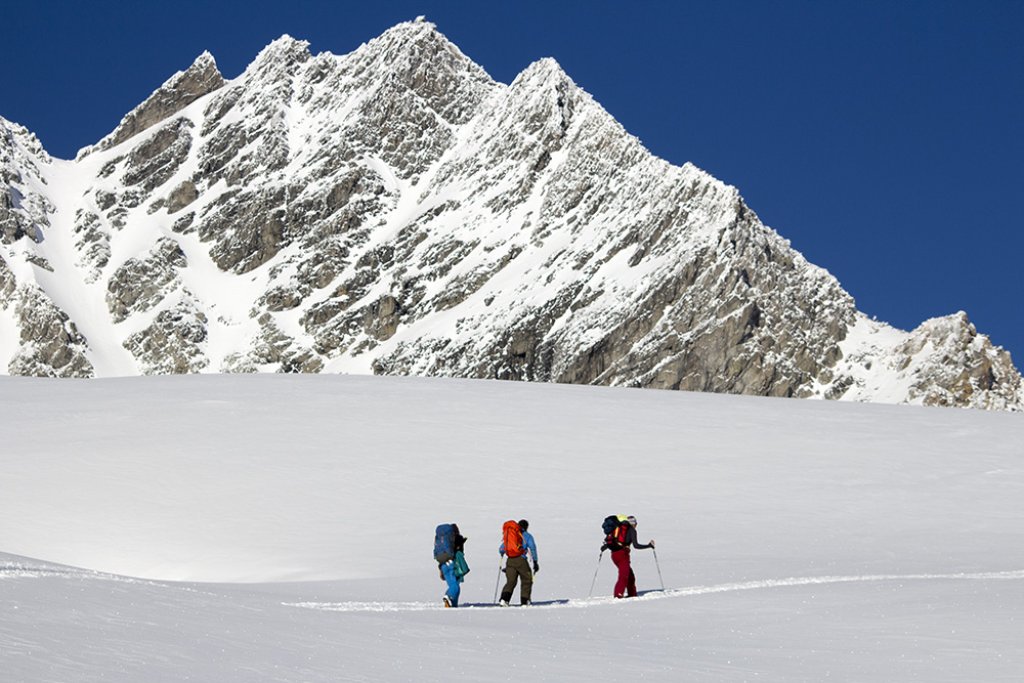
The fresh snow and avalanche situation is also divided. While there are alarm-worthy amounts of snow in the western Alps, the east remains comparatively dry and is only covered in dust. Accordingly, the avalanche situation east of the Arlberg is relatively relaxed (because there is no snow) and becomes much more critical towards the west. The SLF is now issuing bulletins twice a day again (level 4 in the far west of Switzerland!) and an LLB has also been issued for Tyrol.

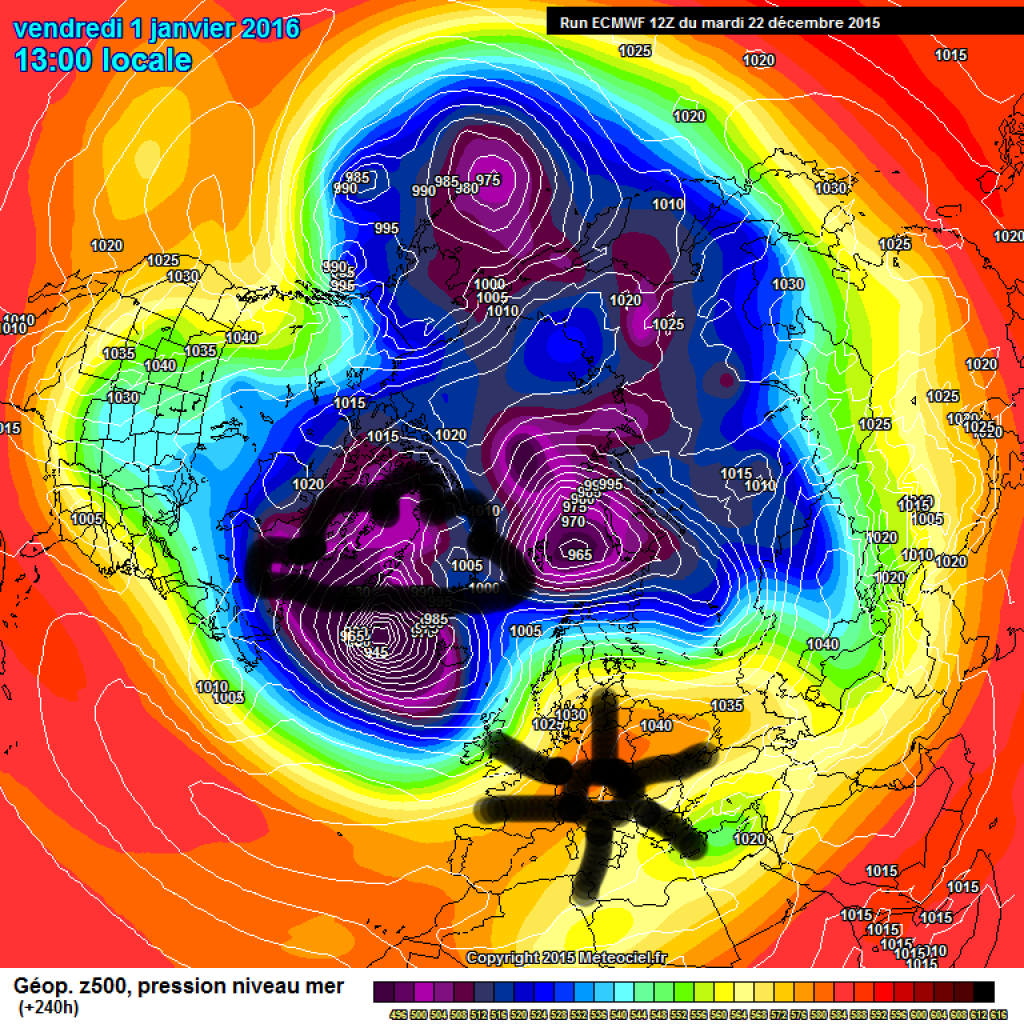
Further developments will initially be determined by a strong low over the British Isles. Towards the weekend, warm air will be shovelled towards us at the front of the low pressure system and the Alps will move into a SW current.

WeatherBlogs
presented by

The position of the Azores High will once again be exciting next week. Of course, it is still more in the realm of the crystal ball, but the models are currently in relative agreement that it will bulge towards Greenland. As a result, the large-scale flow pattern will turn from south/west to more northerly directions and cooler air will reach us. Depending on exactly what the Azores High has planned, there would be potential for a blocking situation with a pure northerly flow, which would be advantageous for the lowland winter. A somewhat milder NW flow is also possible if the high does not venture far enough north to produce a blocking. In any case, we're keeping our fingers crossed that it won't be pushed too far to the east. Then we would be in the middle of the high at some point and would have to deal with the opposite instead of more or less cold, humid air masses.

This article has been automatically translated by DeepL with subsequent editing. If you notice any spelling or grammatical errors or if the translation has lost its meaning, please write an e-mail to the editors.

Show original (German)

Related articles

Comments

WeatherBlogs
presented by