Doch warum in die Ferne schweifen, wenn das gute so nah liegt. Wie ihr bemerkt habt, schneit es bereits und bis Mittwochmorgen kommen alarmwürdige Mengen zusammen.
Die Schneefallgrenze passt und es wird wohl überall Powder sein. Der Wind ist nicht so wild und sollte auch im powderfreundlichen Rahmen bleiben.
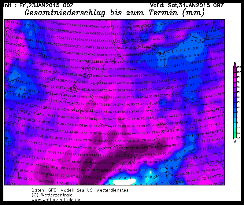
Wo kommt denn der Schnee? Vom Mont Blanc Massiv bis ins Salzkammergut wird es schneien: Verbreitet sollte Ullr bis Mittwoch 25 bis 50 cm ausschütten, wobei der Schwerpunkt eher ab Tirol nach Osten liegen sollte.
Die Unsicherheiten sind ungefähr minus 10 cm im Westen, sodass in Frankreich eventuell auch nur knapp 20 cm runterkommen können und plus 10 bis 20 cm im Osten, wo der Stau notorisch unterschätzt wird, sodass in Richtung Salzkammer gut auch 10 bis 20 cm mehr kommen können. Also maximal 60 bis 70 cm in den östlichen Staulöchern.
Was tun? Ein großer Teil kommt bis morgen (Dienstag), sodass man, wenn man weiß wie die Basis war, auch in ausgesuchten Gebieten in die Bäume gehen kann. Wem das zu unsicher ist, wartet aus das Zwischenhoch am Mittwoch und schaut sich die Sache dann oberhalb der Baumgrenze an. Hierbei gilt jedoch: Dort wo es schneit und das Fundament schwach ist, wird es wieder extrem gefährlich, da eben nicht die schön pulvrige Neuschneeschicht die Gefahr darstellt, sondern die Schwachschichten in den tieferen Schichten der Schneedecke. Besonders tückisch, wenn oben eben kein Triebschnee, sondern wegen des recht schwachen Windes fluffiger Pulver zu sehen ist. Also passt auf euch auf, lest die Bulletins und werdet nicht Teil der Statistik.
Wie angekündigt ist der mögliche Monsterdump Ende der Woche zu einem normalen Schneefall geschrumpft, Der nächste Alarm sollte dann am Mittwochabend erscheinen, weil es doch noch recht ordentlich schneit. Wer aber schon mal seinen Trip ins Epizentrum buchen will, sollte sich in Richtung der Nordwestalpen hin orientieren. Mehr dazu dann am Mittwoch. Es bleibt aber kalt, sodass man überall wo etwas fällt, weiterhin powdern können wird.
Powder to the people!
Euer Orakel