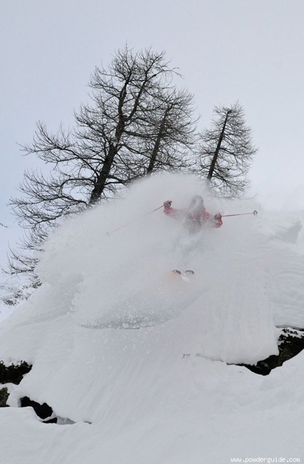
Interesting can mean many things: In this case, the spectrum ranges from "it's pouring and the snow is concrete-like interesting" to "oh how interesting, area-wide disaster alert!"
General situation
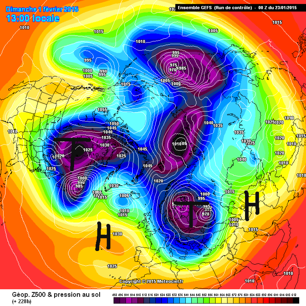
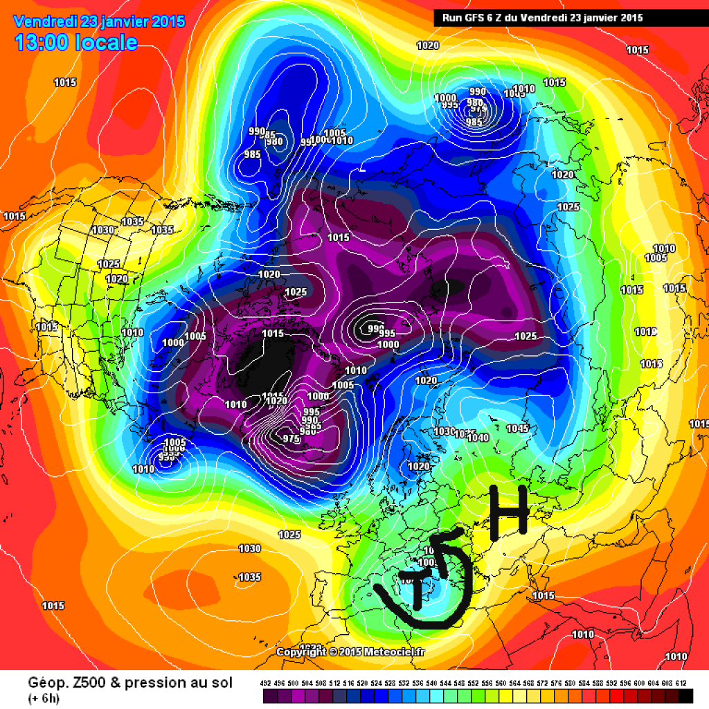
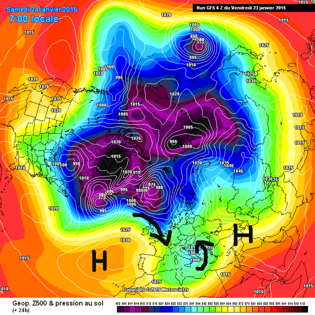
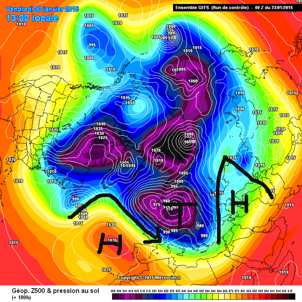
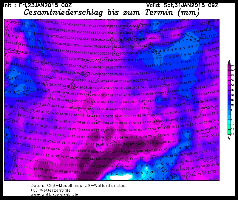
The general weather situation is determined by the Azores High, a fairly pronounced continental high to the east of us and an area of lower pressure in between. This "lower pressure in between" is causing precipitation in the south, as we can see from the PowderAlert Over the next few days, the whole system will shift a little to the east, so that the flow in the Alps will increasingly turn from the south to the NW. Until around the middle of the week, there will be a bit of snow in the north, but it won't be really spectacular yet. The extremely cold air masses over Canada will fuel the development of low pressure over the Atlantic. The continental high in the east and the Azores high are causing the jet to swell strongly, so that there is not the usual strong westerly drift despite the active Atlantic. Fronts on the eastern flank of the Azores High are directed southwards towards the Alpine arc. The very cold Canadian source air will be guided over the unusually warm Atlantic and can fill up with moisture there, which in combination with congestion effects will produce extraordinary amounts of precipitation.
Forecast quality
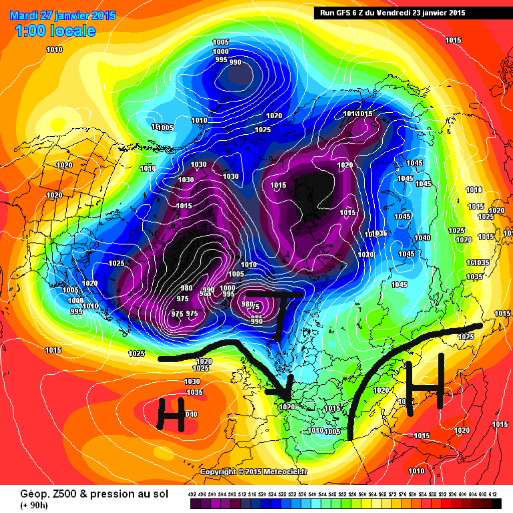
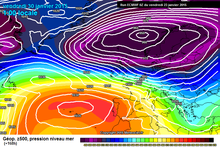
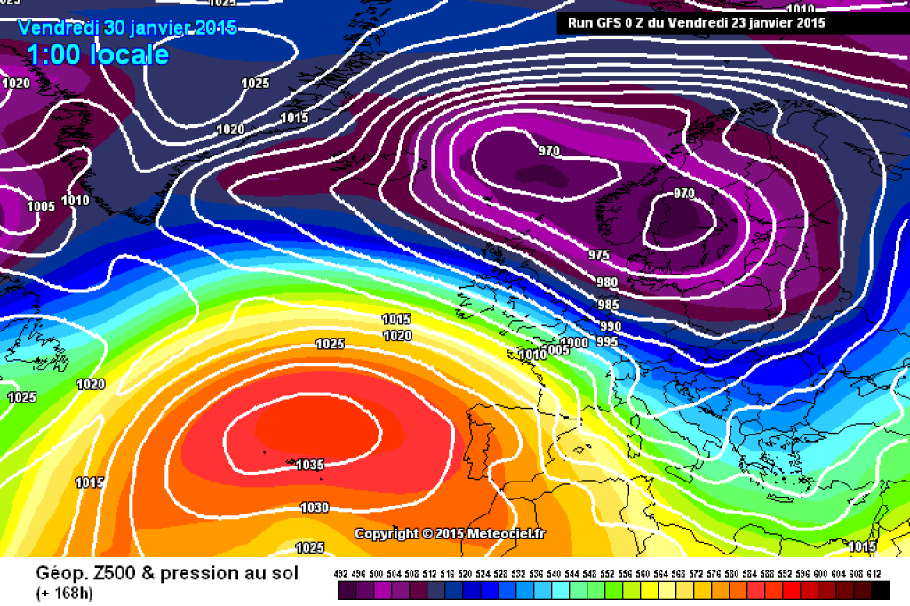
This development has been calculated by the GFS model in one way or another for almost a week, which is always a good sign for the actual arrival of a weather situation. With a slight delay, the European ECMF model is now also basically on board, although the exact position of the trough axis and the precipitation amounts (ECMWF slightly less but now also in the three-digit cm range, GFS slightly more) do not yet fully agree in both models: Minor undulations and marginal lows will be decisive for the "where, how, when, how much" details and the height of the snow line. In view of the current forecasts, precipitation in the league of past extreme events, such as February 1999 or 2009, is definitely possible. Several meters (!!!) of fresh snow in just a few days is not only "interesting" for skiers and the avalanche situation, but also for traffic, other infrastructure and public life itself. It will be interesting to see what and how much snow (and unfortunately also rain) actually comes.