Ascent
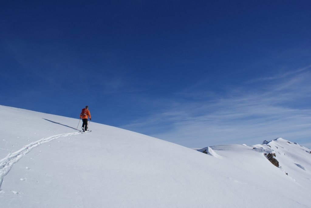
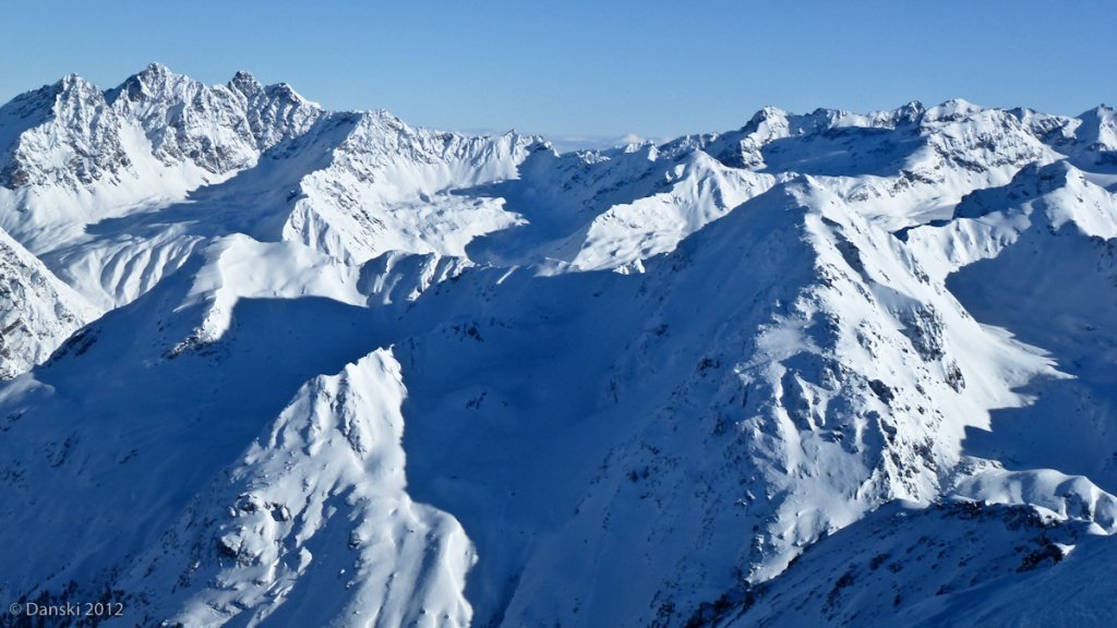
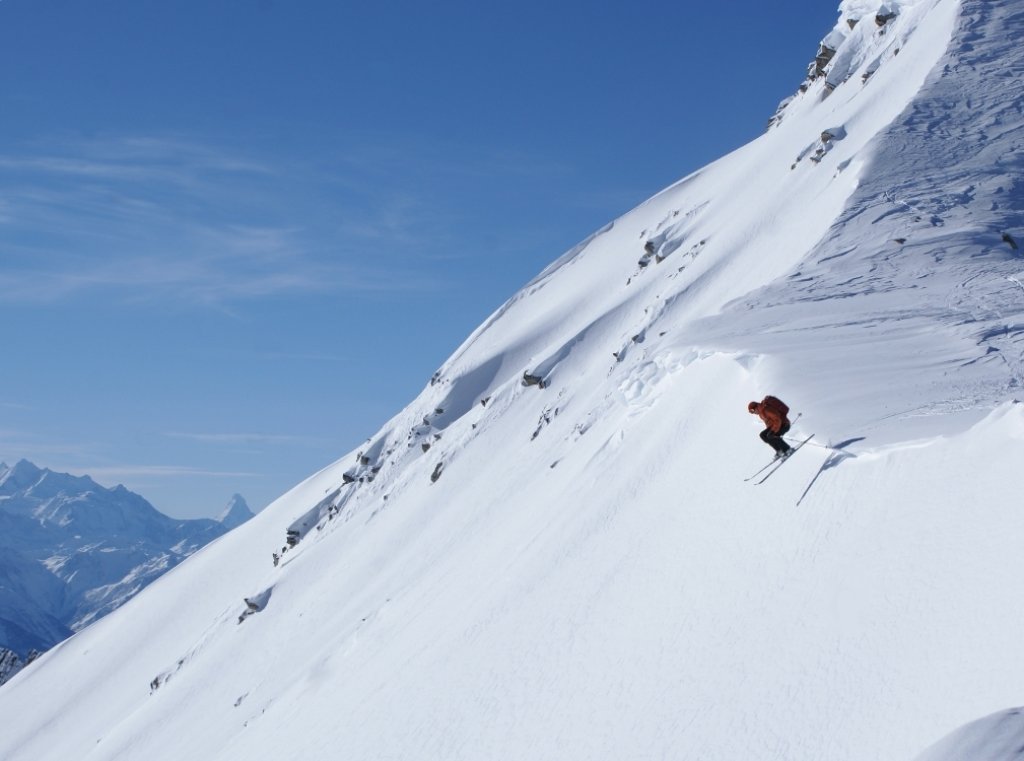
Ascent to the Galmihornhütte at 2113 metres above sea level: From Münster in Goms, you climb through the Bawald forest, which is usually groomed, to the Galmihornhütte, 700 metres above sea level. The hut is the base for freeride tours in the area and towers like an eagle's nest above the snow-covered Goms. The view extends from the Galenstock to the great Valais peaks, the Matterhorn and the Dufourspitze.
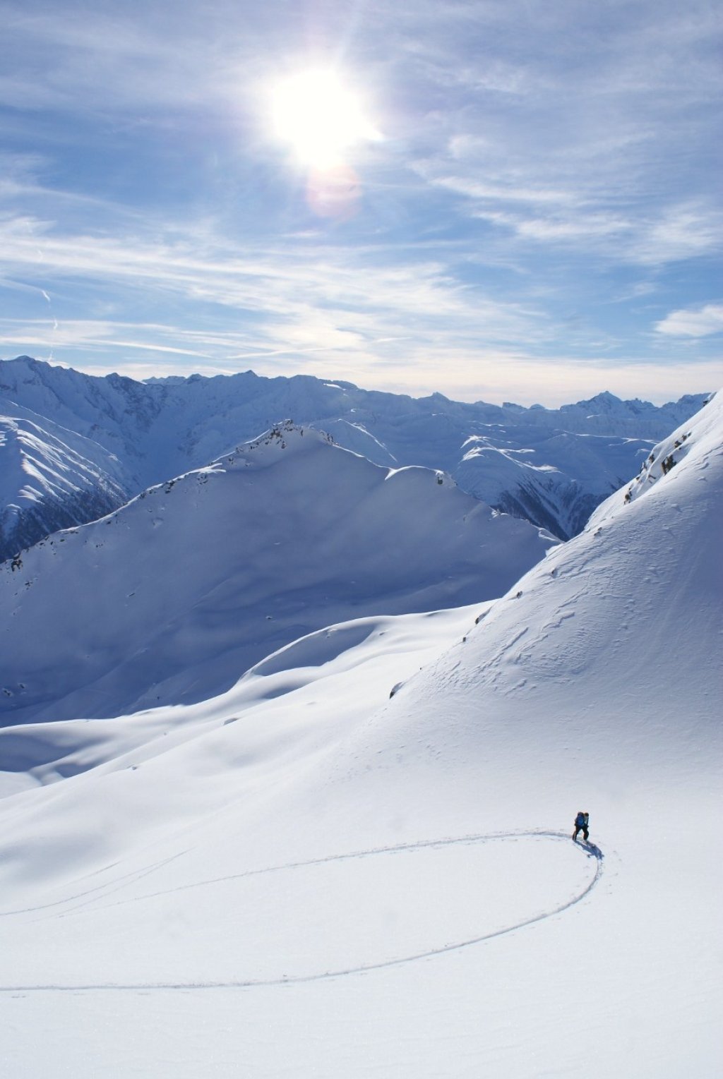
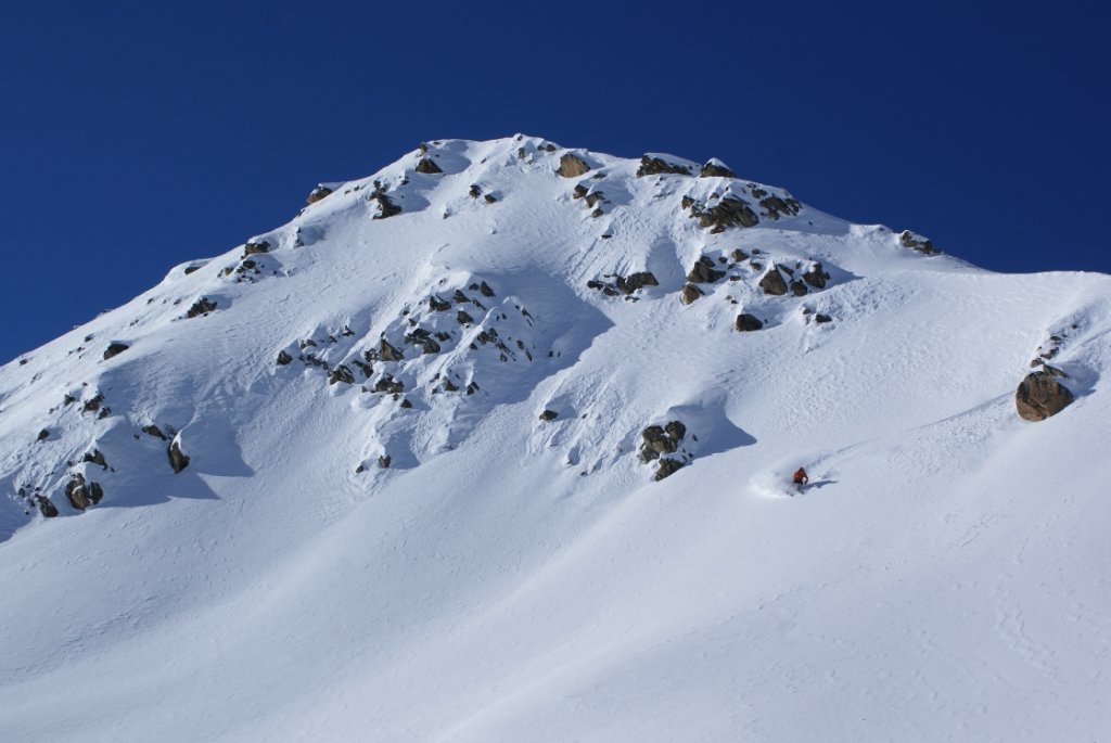
Summits in the surrounding area: The Chastelhörner mountains are worthwhile destinations in the immediate vicinity, with ascents of 600 and 800 metres in altitude. From the hut, the route climbs steadily up to Chastellicke. If you are aiming for the Chly Chastelhorn, climb the broad east ridge to the summit shortly beforehand. From the Chastellücke you have the option of descending briefly on the north side (note the avalanche bulletin in the area of the Gross Chastelhorn north flank) and then ascending the wide slopes, which are perfect for freeriders, to the Heji Zwächte at 3086 metres above sea level. From here, however, it's over for most freeriders, because now it becomes high alpine. The further ascents to the Galmihorn, the Oberaarhorn or even the Finsteraarhorn require knowledge of glacier techniques and excellent physical condition.
Descents
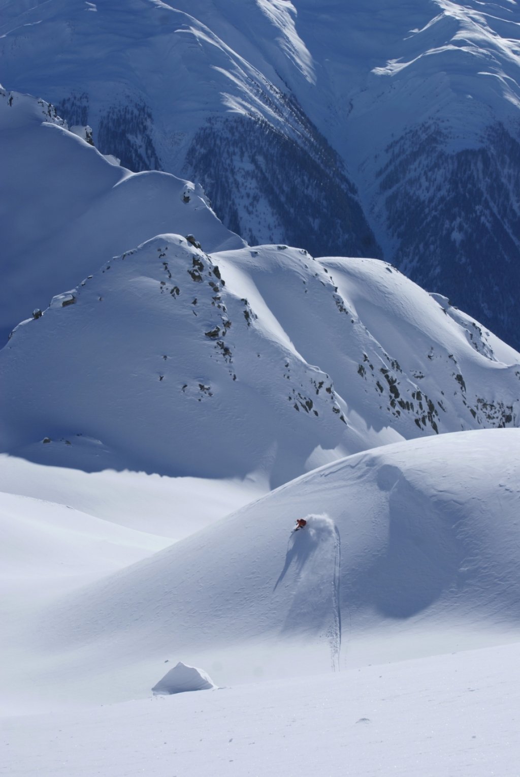
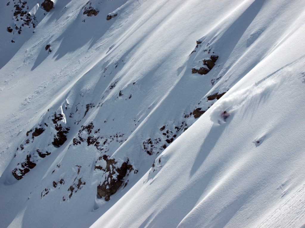
There are various downhill options from the summits. The steeper descents in particular are rarely skied and so you can practically always enjoy first lines.
Chly Chastelhorn: The descent can be easily seen from the hut and during the ascent. The extreme south-east flank is reserved for experts. A more leisurely descent is possible via the east ridge or the south ridge and then over hilly terrain back to the hut.
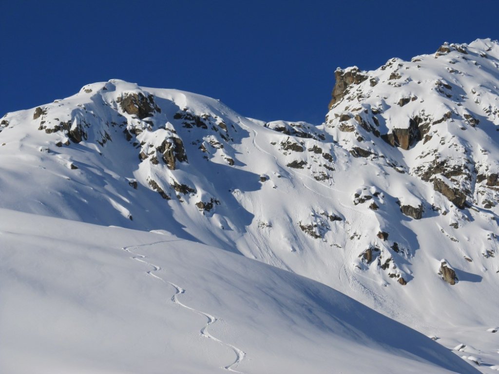
Gross Chastelhorn: Here too, the steep south-east flank with its gullies and rocks is tempting for experts. You can plan your lines from the hut the evening before. The steep, shady northern flank almost always offers the finest powder.
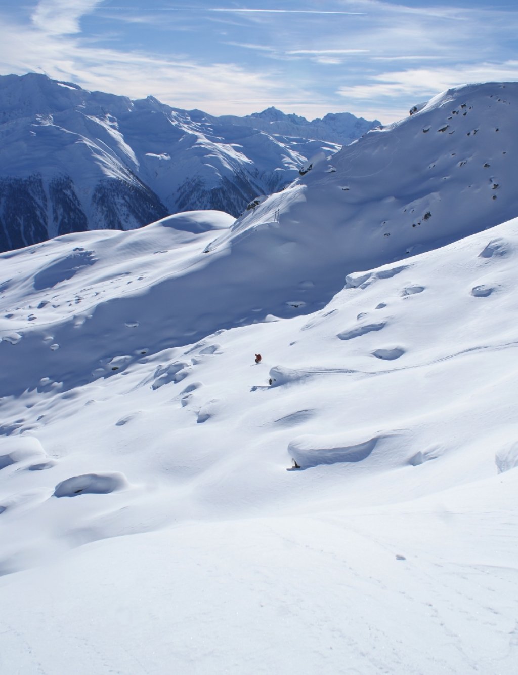
Heji Zwächte: The jump over the large summit cornice is almost legendary in safe conditions. The subsequent steep summit slope is a dream and can also be skied further east if conditions are unsafe. Then it's back to the Chastellicke via the beautiful south-facing slopes. If the snow conditions are very favourable, you can ski through the Figgeri couloir down into the Bächital with a first-line guarantee and reach the valley village of Reckingen 1700 metres below.
Departures from the hut: In bad weather, the countless treeruns through the sparse forest offer a successful alternative. In spring or in poor conditions, you can also take the forest road back to Münster.
Information
Difficulty (5-level scale): All summits are possible with **. However, each summit also has variations of *** to ****
Special dangers: None
Average steepness / maximum steepness: 25°/ 50° (not mandatory)
Exposure: Except for the Gross Chastelhorn north flank, all S-SE
Altitude metres Start and finish: Galmihornhütte 2113 m | Heji Zwächte 3086 m
Altitude metres uphill and downhill: 953 m (1700 m), 953 (1700 m) (data in brackets with descent to Münster)
Duration: Chastelhörner max. 2 hours / HejiZwächte max. 3.5 hours. (The information refers to the ascent from the Galmihornhütte)
Best time of year: Mid-December - April
Accommodation: Galmihornhütte. The key can be collected from Bacher Sport in Münster. Booking required. Cooking facilities, wood, blankets and some drinks are available.
Addresses: Reservation Galmihornhütte
How to get there: Coming from Zurich via the Gotthard motorway to Andermatt. Then take the car transport through the Furka tunnel to Goms and Münster. From Lausanne through the whole of Valais up to Brig and on to Münster
Topographical maps: LK 1:25000 1250 Ulrichen, S 1:50000 265-S Ulrichen
About the author:
Raphael Imsand is a carpenter by trade and is currently training to become a mountain guide. He is a passionate ski tourer, freerider and mountaineer. In future, he will be presenting a selection of his favourite tours in the high mountains of the Swiss Alps on PowderGuide. Raphael runs a weblog that is well worth reading.