Skip to content

Cookies 🍪

This site uses cookies that need consent.

Learn more

Zur Powderguide-Startseite Zur Powderguide-Startseite

Language selection

Search PowderGuide

PowderAlerts

PowderAlert 15 2020/21 | Arctic April

The negative deviations in April continue unabated

by Lars Oelmann 04/11/2021
While the Oracle had become accustomed to swimming in the lake in recent years, it now has to remember the April months of the noughties, when you could ski powder more often.

Ullr doesn't stop and sends us the next package to the Alps. This time also, and above all, to the south, where there has been no precipitation for two months. (Yes, no precipitation, not just no powder.)

Alert period and areas

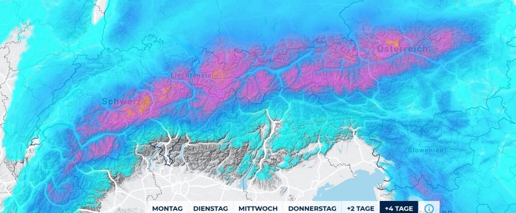
Eh, well, actually... the whole of the Alps is getting alerts, but it's particularly exciting in the south and south-east and, for longer, also in the north-east.

The alert goes until Tuesday evening, except in a small Gallic village in the far east between Dachstein and Schneeberg where it could snow through until Friday. But not all models have that in them. I'm only mentioning it so that the melange drinkers from Transdanubia can hitch up their Fiaker in case it happens.

Wind

In the snowfall rather relaxed, but before that strong foehn wind in the north. In Switzerland, this will be a kind of counter-current system, so it's not entirely clear whether there will be draughts within the Alps or not. From Tyrol eastwards there will only be quite a lot in the südstau and then again in the northern foothills of the Alps.

Snowfall limit

In the north it will quickly drop to the very bottom and in the south the full amounts from 1500-1800m, as it takes a while there. But it also drops in the south, so the topping of the powder cake should also be decent there.

The amounts

Anywhere from the Maritime Alps and all of France in the west to the Rax and Slovenia can get 20-40cm. So. That doesn't help you? Then here are more details: In the north, 25-50cm of snow from central Switzerland to the Dachstein. In the far east, if it continues to snow, there could be significantly more by Friday, as another 30+cm would then accumulate.

In the south, 40-70cm will fall from Ticino to the Dolomites and 60-90cm further east in the core. Occasionally, the meter can also become full in the traffic jam of the southeastern border triangle.

Where should I go?

On Monday to the southern Alps, because that's where the most snow is coming from. But since it hasn't snowed there for two months, you should probably only try to ski in very shady northern locations despite the mega-base from early winter and know best whether there was still a base.

Tuesday it can open up in the north in the west of Switzerland, from the Glarnerland to the east rather not. In central Switzerland, you can play poker or stay in the trees.

Wednesday will be sunny everywhere except east of the Dachstein, but even there it should only flake a little. The rest of the week will remain sunny and cold, with the possibility of more snow in the very east.

Powder to the people!

Your oracle

Snowy summit prediction game

The prediction game will once again take place in our friendly snow hole in the Sella Nevea, at the "Livinal Lunc 1837m" station from 11.04. to 13.04. 10pm: Write your tip by 11pm today, Sunday, 11.04. either here as a comment, or in the Forum.

.

This article has been automatically translated by DeepL with subsequent editing. If you notice any spelling or grammatical errors or if the translation has lost its meaning, please write an e-mail to the editors.

Show original (German)

Related articles

Comments