Skip to content

Cookies 🍪

This site uses cookies that need consent.

Learn more

Zur Powderguide-Startseite Zur Powderguide-Startseite

Language selection

Search PowderGuide

WeatherBlogs

WeatherBlog 9-2016 | Low Eckard and the North Pole

and the weather

by Lea Hartl 12/29/2015
A powerful hurricane depression called Eckard has formed over Iceland. Between Eckard and a high pressure system over Scandinavia, the strong pressure difference is shoveling masses of warm subtropical air towards us and much further north. The North Pole reaches temperatures of almost 50° above average (equivalent to just above zero).

What does this mean for us?

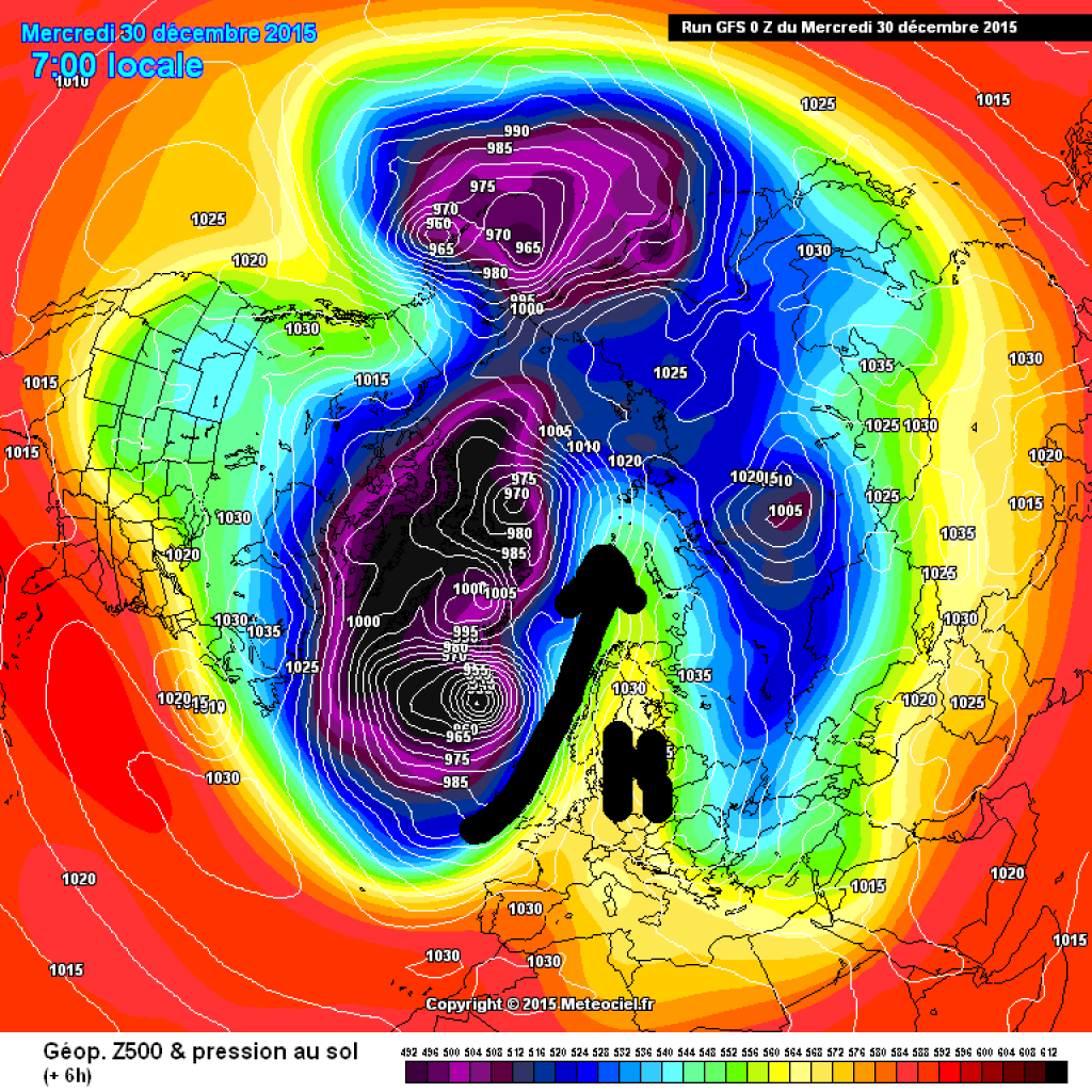
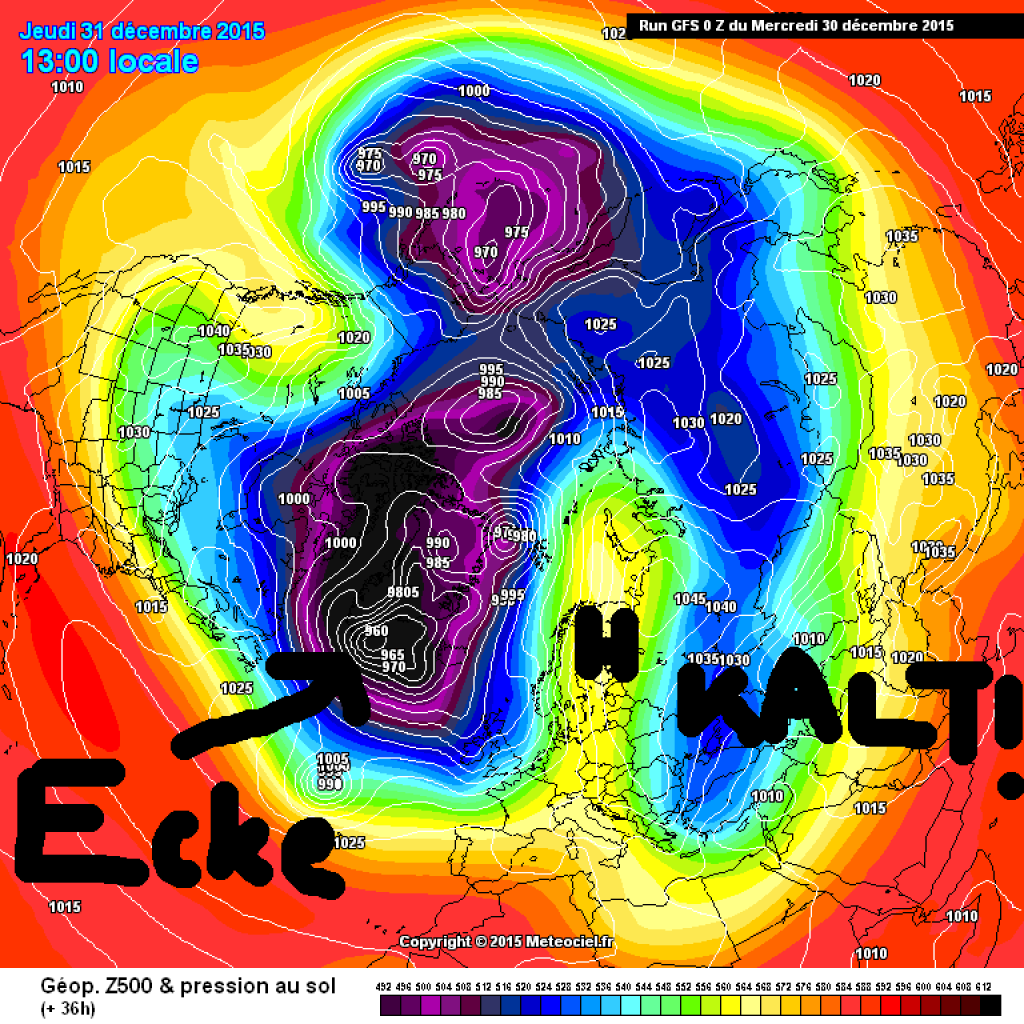
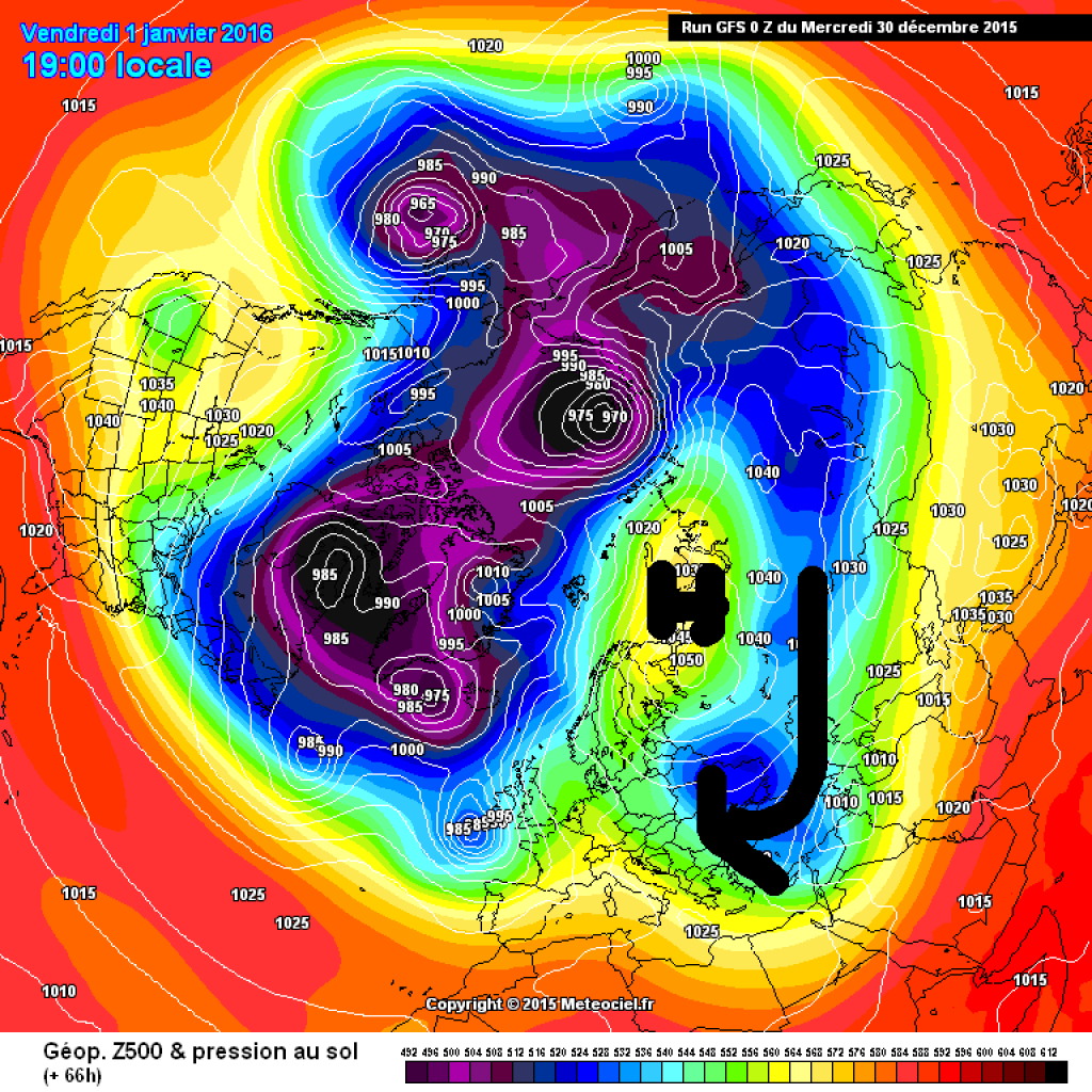
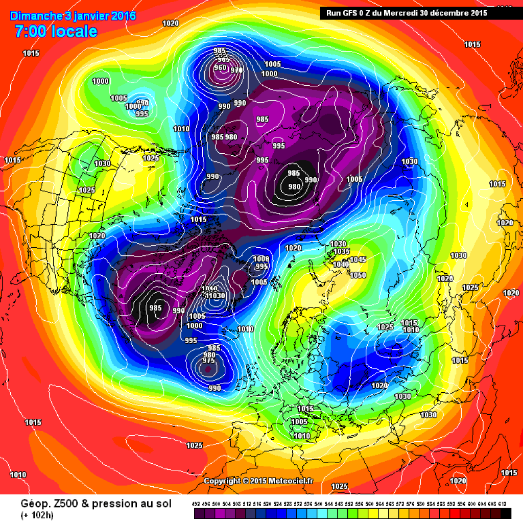
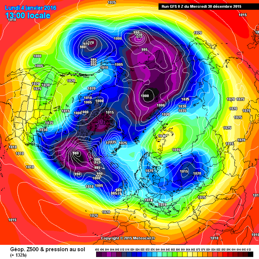
The models agree that the polar vortex will not survive such an advance of warm air into the far north without a bump or two. The previously quite round vortex will become a misshapen blob with two cold poles forming in the North Atlantic and North Pacific. In any case, this would be something very different from the eternal high that has accompanied us over the last few weeks. However, the effects on our weather are still uncertain. It looks as if the cold pole responsible for our area in the Greenland region will remain, it will just have a colleague opposite it. This would weaken the polar vortex, but the Atlantic weather would still basically work for us.

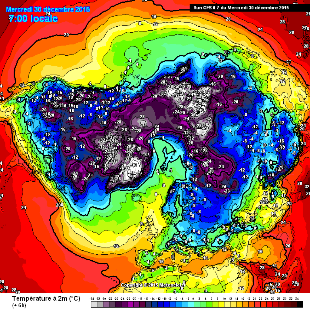
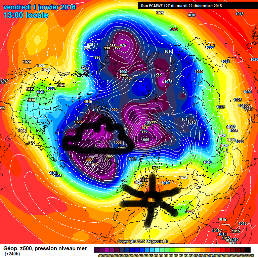
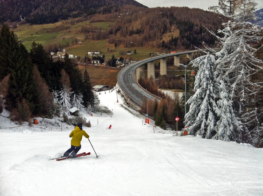
Before this really has an effect on us, the blocking Scandinavian high will allow cold air from the continental east to penetrate into Central Europe. Exactly where the cold air will make it to is uncertain, but the air mass boundary will probably end up somewhere roughly to the east of Austria. As we know, cold air alone is not enough for a proper winter: snow is still missing. This will come from the west in the form of disturbances and fronts spewed out from the Atlantic. The first such disturbance is likely to arrive on New Year's Day and will favor the northern slopes of the Alps (if not exclusively), but will not bring particularly heavy precipitation.

WeatherBlogs
presented by

We'll continue at the beginning of next week. Once again, things are looking good, especially for the north-westerlies, and this time things could well come together. On a smaller scale, it depends very much on where cold air from the east may be located, onto which fronts can slide. Whether the frontal zone will sooner or later slide far enough south to produce low pressure development in the Mediterranean (and thus snow in the south) is still uncertain, but for a welcome change it is once again within the realm of the theoretically possible.

Links to read more:
Hurricane Eckard.

General treatise on current model trends.

Photo gallery

This article has been automatically translated by DeepL with subsequent editing. If you notice any spelling or grammatical errors or if the translation has lost its meaning, please write an e-mail to the editors.

Show original (German)

Related articles

Comments

WeatherBlogs
presented by