Skip to content

Cookies 🍪

This site uses cookies that need consent.

Learn more

Zur Powderguide-Startseite Zur Powderguide-Startseite

Language selection

Search PowderGuide

WeatherBlogs

WeatherBlog 3 2016/17 | Outlook and other

Mild and wet at the weekend, then high pressure block

by Lea Hartl 11/15/2016
After the passage of a warm front today, the current will turn to the southwest. While it will be very mild in the north with a föhn wind, precipitation will set in in the südstau. Further disturbances will follow at the weekend, bringing a lot of precipitation, especially in the south, but with a higher snow line than recently.

Current situation

After the low temperatures (and successful first ski tours) in the last few days, we are now feeling a stronger Atlantic influence again. Today's warm front is embedded in a relatively zonal flow and mild air is flowing towards us at altitude. If there is black ice in places today, it is because the rain is falling into lakes of cold air close to the ground and freezing there again, not because of the large-scale air masses. On Thursday, the Azores High will move a little to the north, the westerly flow will become more wavy again and a trough will push southwards over western Central Europe. This will give the flow in the Alpine region in front of the trough a southerly component. On Friday, it will become increasingly foehn-like and wet in the south, or at some point probably wet everywhere, but not very cold. Another disturbance will follow on Saturday, which is likely to bring some more precipitation, especially for the southern eastern Alps, but again not very cold.

WeatherBlogs
presented by

Medium term

After the weekend, things don't look particularly great in terms of winter. The low over the eastern Atlantic will stay with us, but a massive high in the east will block its progress. Warm Mediterranean air is being shoveled northwards. The modeled temperature change within a week is correspondingly drastic: in the maps of temperature anomalies (where is it warmer or colder than the long-term average), the change from very cold to very warm in Central Europe is clearly visible. Sooner or later, the trough is likely to work its way eastwards and then the situation can quickly turn around again. The polar vortex is and will remain weak for the time of year, with several prominent low pressure centers instead of a central one. The positive temperature anomalies over the Arctic remain extreme, meaning that sea ice is currently having a very difficult time.

Other finds

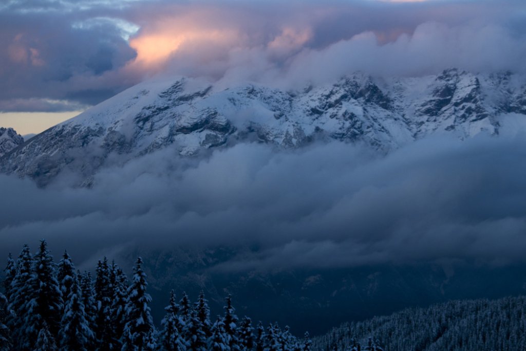
The WeatherBlog came across an interesting video by the Bhutan Film Trust, so we'll end with a brief digression on glacial lake outburst floods (GLOF): Lakes can form at the tongue end of glaciers, which are dammed up by the terminal moraine. This is currently a common occurrence as the ice retreats further and further, but the terminal moraines remain in place and dam up the meltwater. If the water pressure becomes too great, the moraine dam breaks and a flood wave pours downstream into the valley. If the terrain under the ice has overdeepenings where meltwater can collect, lakes also form under the glacier. These can also break out and cause destruction. One example of this is the Tête Rousse Gltescher on Mont Blanc. In 1892, over 200 people lost their lives when 200,000 cubic meters of water suddenly poured from the glacier into the valley and as a huge mudslide into the villages below. The water under the glacier continues to accumulate, threatening further outbursts over time. In July 2010, it was discovered that 50,000 cubic meters of water had accumulated. The majority of this was pumped out at great technical expense. In the years that followed, things continued in a similar way and the Tête Rousse glacier is now a kind of prime example of how the GLOF problem can be combated with modern technology and a combination of a high-tech warning system and massive use of machinery.

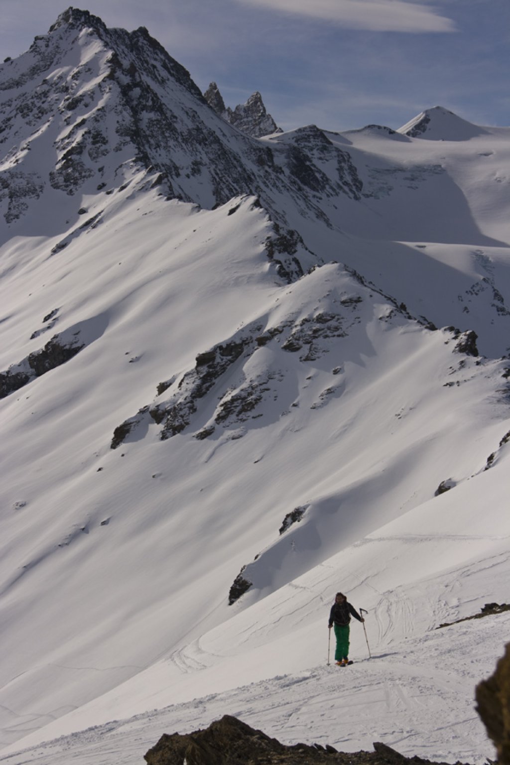
In the Himalayas, there are also numerous glacial lakes classified as dangerous. Intensive monitoring takes place here too, but there are usually not the resources available to get heavy machinery up there. Time and again, massive damage is caused by GLOFs. The following video follows a young man from Bhutan who, together with 350 others, sets off on the arduous journey to Lake Thorthomi to spend weeks digging out the moraine dam by hand so that more water can flow out. Within three years, three teams of hundreds of workers were able to lower the water level in the lake by 368cm, reducing the risk of a catastrophic GLOF.

Beware: the movie shows slow and painstaking work in a slow way. The WeatherBlog finds it quite impressive, especially when compared to the approach in the Alps, but it's not for the impatient.

Photo gallery

This article has been automatically translated by DeepL with subsequent editing. If you notice any spelling or grammatical errors or if the translation has lost its meaning, please write an e-mail to the editors.

Show original (German)

Related articles

Comments

WeatherBlogs
presented by