Skip to content

Cookies 🍪

This site uses cookies that need consent.

Learn more

Zur Powderguide-Startseite Zur Powderguide-Startseite

Language selection

Search PowderGuide

WeatherBlogs

WeatherBlog 14 2016/17 | Review and outlook

Cold, dry January is replaced by a temporarily mild, humid February

by Lea Hartl 01/31/2017
Last weekend in Tyrol: the higher up, the more wind influence.

Last weekend in Tyrol: the higher up, the more wind influence

.

LH
We take a look at where January 2017 ranks in the climate statistics and then consider the current situation and further developments in February: a long phase of cold, dry weather is followed by mild, foehn-like conditions in the north and fairly widespread precipitation in the parched south. It remains to be seen whether this change will last or whether we will soon return to familiar patterns.

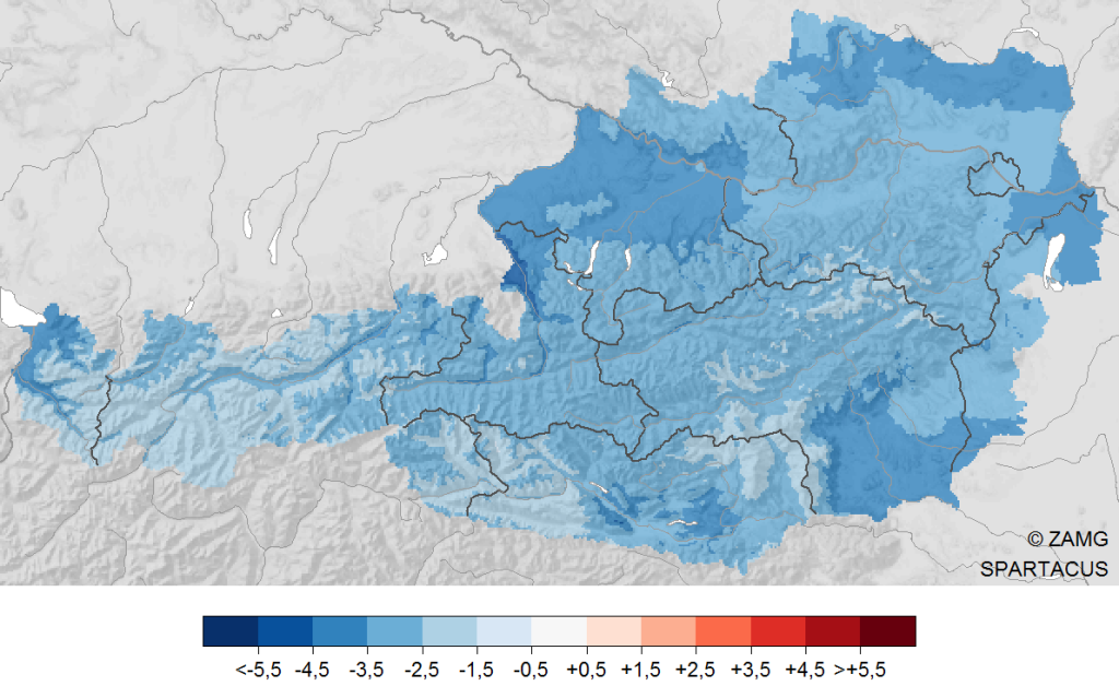
The end of January was significantly colder than the long-term average. Across Austria, it was on average around 3 degrees colder than usual. The situation was similar in Germany. The snowy regions in particular recorded very low minus temperatures in some cases. Interestingly, it was just as cold in the valleys as it was in the mountains. On January 6, the lowest temperature of the month was measured in Austria: -29.7°C on the Hinterer Brunnenkogel in the Pitztal valley. The lowest temperature below 1000m followed the next day in Radstadt (835m), where it was -26.3°C. And even below 500m above sea level, the temperature dropped to -22.4°C on January 11 (Klausen-Leopoldsdorf). The reason for this was the very pronounced inversion, which was already mentioned in last week's WeatherBlog.

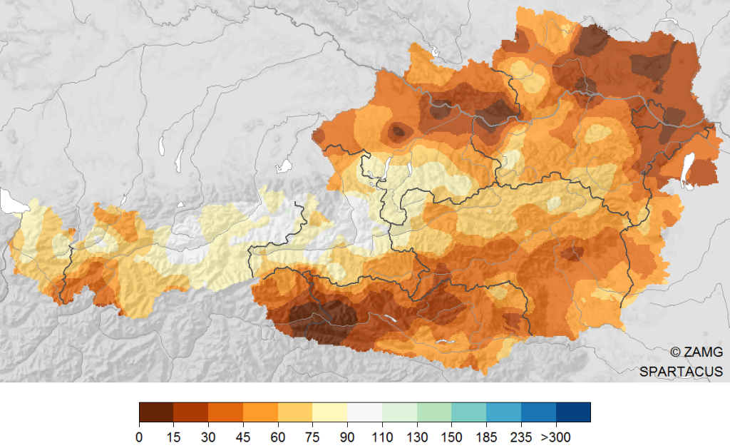
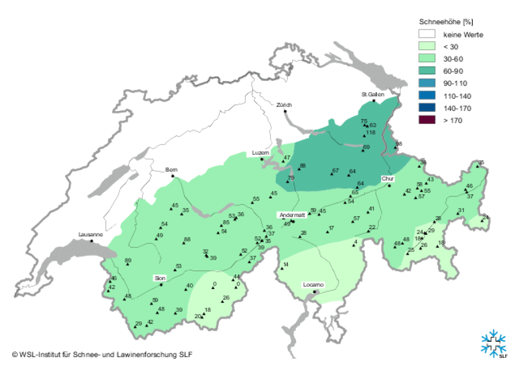
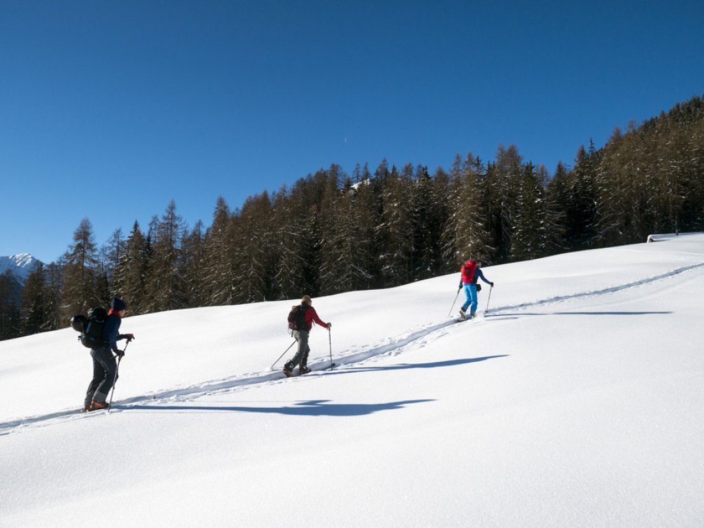
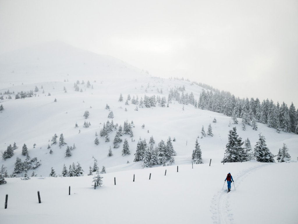
In addition to being cold, January was - as in December - also extremely dry, apart from the congested areas in the eastern northern Alps, where the amount of precipitation was about average. Especially south of the Alpine skin ridge, January passed almost entirely without precipitation. Across Austria, precipitation was 37% below the long-term average. It was also unusually dry in the rest of the Alpine countries - most people will have already recognized this from the poor snow conditions. Here is the monthly review from ZAMG and here is a report on the same topic from DWD.

WeatherBlogs
presented by
Ad

Everything is new in February

For the time being, February is not taking January as an example. It has already become significantly warmer in the last few days and yesterday, Tuesday, it started to rain again for the first time in a long time in most of the northern Alps, or to snow at higher altitudes. The precipitation was brought by a small area of low pressure approaching the Alps from the north. The warm front embedded in it pushed precipitation onto the still cold layers of air on the ground. If the rain falls through the cold air close to the ground and then onto the cold, frozen ground, what do you get? Exactly, black ice.

At higher altitudes, you get fresh snow instead of rain and black ice. From yesterday to today, around 30 cm of snow has fallen in the north of Tyrol to Salzburg. Occasionally, more is reported between the eastern Bernese Oberland and the Silvretta, but less everywhere else. The snow line fluctuated, driven first by the warm front and then by the cold front. On the one hand, it rained away the massive surface frost that was almost everywhere further down, on the other hand it rained up to over 2000m in places before it snowed a little again afterwards. See the current blog entry of the Tyrolean LWD (and of course the situation report of your own region!).

Today, the low pressure system is moving eastwards and the Atlantic will dominate the weather in the Alps. At the front of a powerful trough with a core west of England, we will gradually move into a southerly flow. There will be a föhn wind in the north and finally precipitation in the south. Already today, Wednesday, February 1, there will be some foehn-like clearing in the northern Alps. It will be similar until the weekend: mild, windy and rather sunny in the north, wet in the south.

500hPa geopotential and surface pressure for tomorrow, Thursday 2.2.17. The Alpine arc is increasingly moving from the west into the southerly flow on the front of the Atlantic low pressure.

500hPa geopotential and surface pressure for tomorrow, Thursday 2.2.17. The Alpine arc is increasingly moving into the southerly flow from the west on the front of the Atlantic low pressure.

meteociel.fr

Medium-term

At the weekend, the continental high from the east will push back towards Central Europe and block the further advance of the Atlantic frontal zone. This will result in interesting precipitation options for the south, although the details are still uncertain and depend on the exact position of any low that may drift into the Mediterranean region. Depending on this, the oracle will comment on this.

For the further development from next week, there are some indications that February will return to January. The flow will continue to be very wavy, driven by an irregularly swirling polar vortex. The large-scale low-pressure center near Greenland is biting its teeth on a blocking high. Depending on where the boundary between these two systems lies, we may find ourselves in a more southerly flow or dry cold from the east may make its way back to Central Europe. If the latter happens, we would be back to cold and sunshine from the middle of next week.

Photo gallery

This article has been automatically translated by DeepL with subsequent editing. If you notice any spelling or grammatical errors or if the translation has lost its meaning, please write an e-mail to the editors.

Show original (German)

Related articles

Comments

WeatherBlogs
presented by