Skip to content

Cookies 🍪

This site uses cookies that need consent.

Learn more

Zur Powderguide-Startseite Zur Powderguide-Startseite

Language selection

Search PowderGuide

WeatherBlogs

WeatherBlog 13 2016/17 | Cold fat eye with inversion soup

Cold high pressure until the weekend, then likely change to warmer westerly weather

by Lea Hartl 01/24/2017
PG team in Davos last weekend

PG team last weekend in Davos

LH
The Alps are under the influence of a powerful high with its center over Germany. In the west, a small high-altitude low will provide some visual variety in the form of clouds, but there won't be more than a few scattered snowflakes here either. While it will get colder every day near the ground, it will remain relatively mild at higher altitudes.

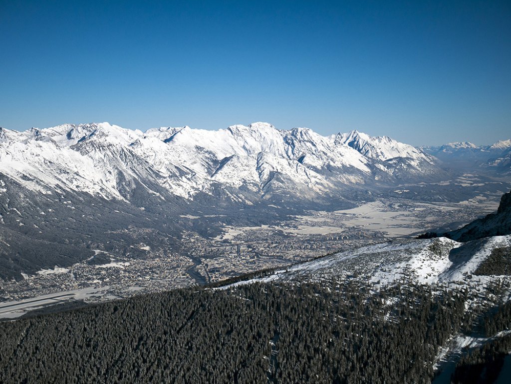
Like December, January will be characterized by high pressure in the Alpine region, interrupted only briefly by snowfall. The current situation is very weak in terms of gradient, which means that virtually nothing is happening. Pressure differences and the associated large-scale currents are far away. The sun is shining brightly, as long as you are not stuck under the high fog that is often found in the lowlands.

Cold fat eye on a high pressure soup

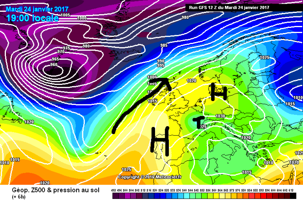
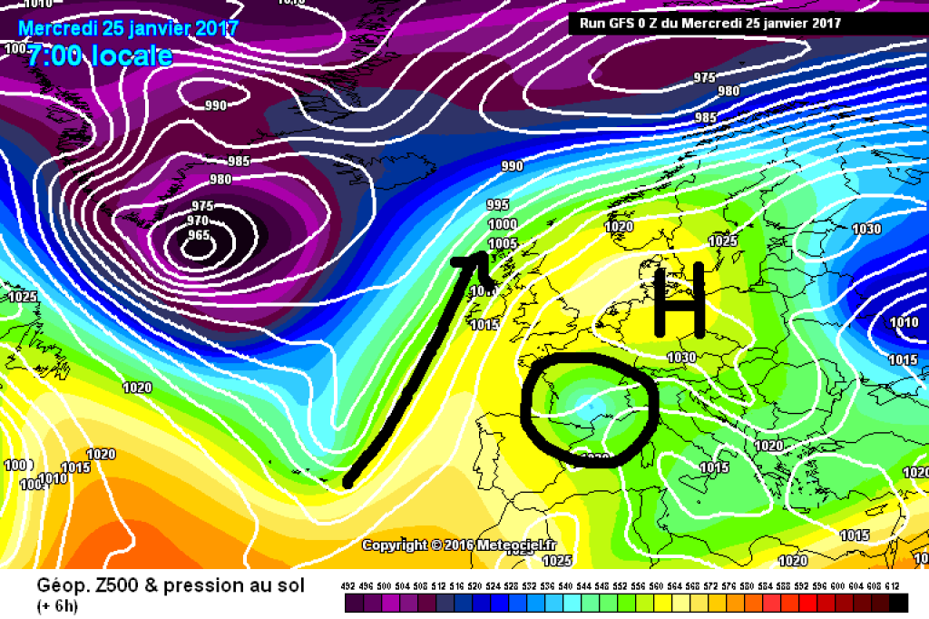
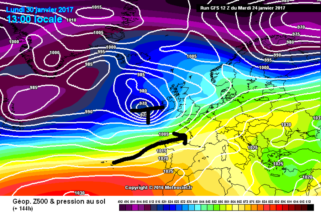
A short-term change was brought by an altitude low that caused clouds and a few snowflakes in western Germany and now in France on Tuesday. High lows - also known as cold air drops - are areas of low pressure that can only be seen in higher layers of air, not on the ground. They usually move independently of the large-scale high-altitude flow, which is why their path is difficult to predict. Yesterday, the DWD dedicated a Topic of the Day to the cold air droplet and aptly compared it to a drop of fat floating around in the soup. Unfortunately, the fat eye was and is not at all relevant as far as useful amounts of fresh snow are concerned.

WeatherBlogs
presented by
Ad

And underneath, the inversion...

Apart from the small drop of cold air, we've been in the same air mass for days, but it's still slowly getting colder and colder. How can this be if there is no cold air flowing to us from anywhere? The answer, of course, lies in the inversion. It is well known that the ground can cool down considerably on clear nights. Cooling is further facilitated by low winds and dry air. Wind could cause turbulence that swirls the warm air from higher layers downwards and if there is water vapor in the air, the radiation cannot escape unhindered into the atmosphere.

If there is no snow, the sun can warm the ground a good bit during the day. Snow - which is currently present almost everywhere - reflects most of the solar radiation and the night-time cooling is not reduced as much. The sun does not have enough power to compensate for the drop in temperature through radiation and so the temperature drops a little further every day (see station graphs below). Conditions are currently ideal for persistent inversions and it is getting colder precisely because it is already cold. January is therefore well on the way to going down in the statistics as a "too cold" month, especially in the lowlands.

Medium-term

Snow continues to fall en masse from the Pyrenees across central and southern Italy to Greece, but not in the Alps. The moderation thanks to the westerly breakthrough, which was already seen in the maps last week for this week, has not yet materialized and has shifted further and further back. At the moment, it seems likely that it will really bloom by the turn of the month at the latest. It will continue to be mostly sunny until the weekend, then it will become a little more unstable from the west (but only unstable in the sense of cloudy, windy and a little warmer, not in the sense of masses of fresh snow). Then the low pressure development in the Atlantic picks up speed and pushes our high away. The result would be much milder westerly weather. The long-term development is very uncertain - in the stratosphere (above the troposphere, where our weather happens) there are signs of a rise in temperature, potentially even a major warming. This could mean anything and if it happens, we'll take a closer look next week.

Photo gallery

This article has been automatically translated by DeepL with subsequent editing. If you notice any spelling or grammatical errors or if the translation has lost its meaning, please write an e-mail to the editors.

Show original (German)

Related articles

Comments

WeatherBlogs
presented by