Skip to content

Cookies 🍪

This site uses cookies that need consent.

Learn more

Zur Powderguide-Startseite Zur Powderguide-Startseite

Language selection

Search PowderGuide

WeatherBlogs

WeatherBlog 1 2017/18 | State of play

The weather kitchen is boiling

by Lea Hartl 11/15/2017
Nature and technology go hand in hand in Tirol these days.

Nature and technology go hand in hand in Tyrol these days.

Lea Hartl
Now that our colleague Orakel has already spoken twice, it's high time for the WeatherBlog to dive back into the action. The weather has a lot to offer at the moment, so we'll take a classic look at the current situation and the outlook for the future.

Review

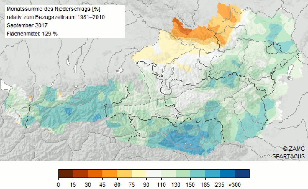
The summer had two halves in terms of weather: a first, very warm half and a second, cooler half with lots of precipitation. September in particular was so wet that we no longer wanted to believe in the classic golden autumn high pressure. In October, however, there were still a few stable weeks before it turned white for the first time in the first week of November with the snowfall from the south discussed in the PowderAlert, even at medium altitudes.
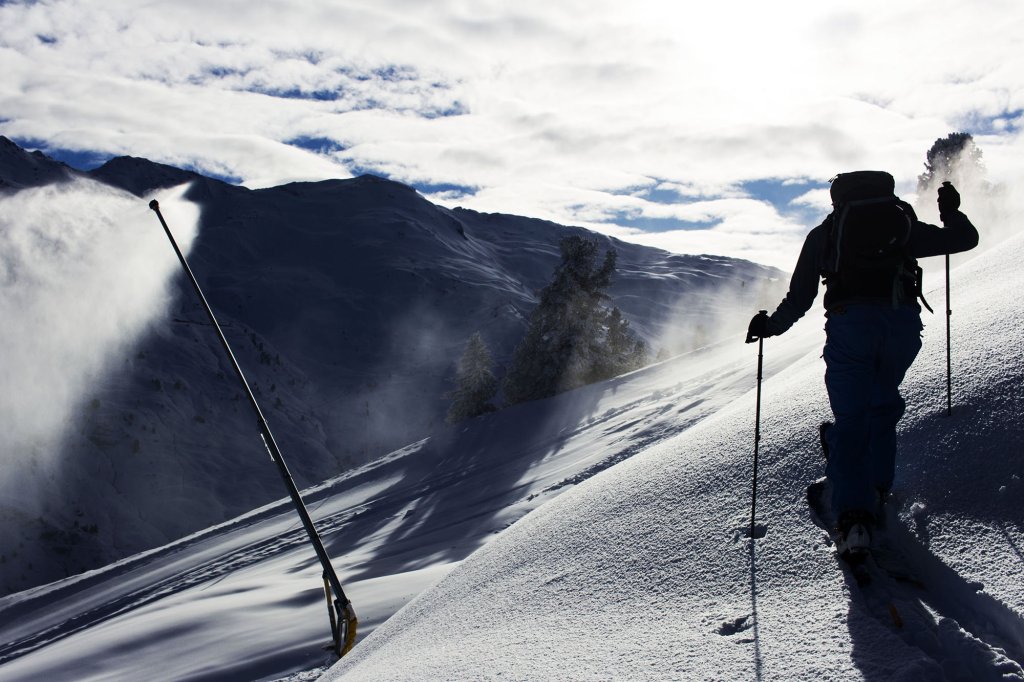
Current situation

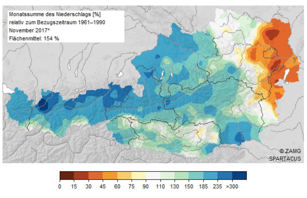
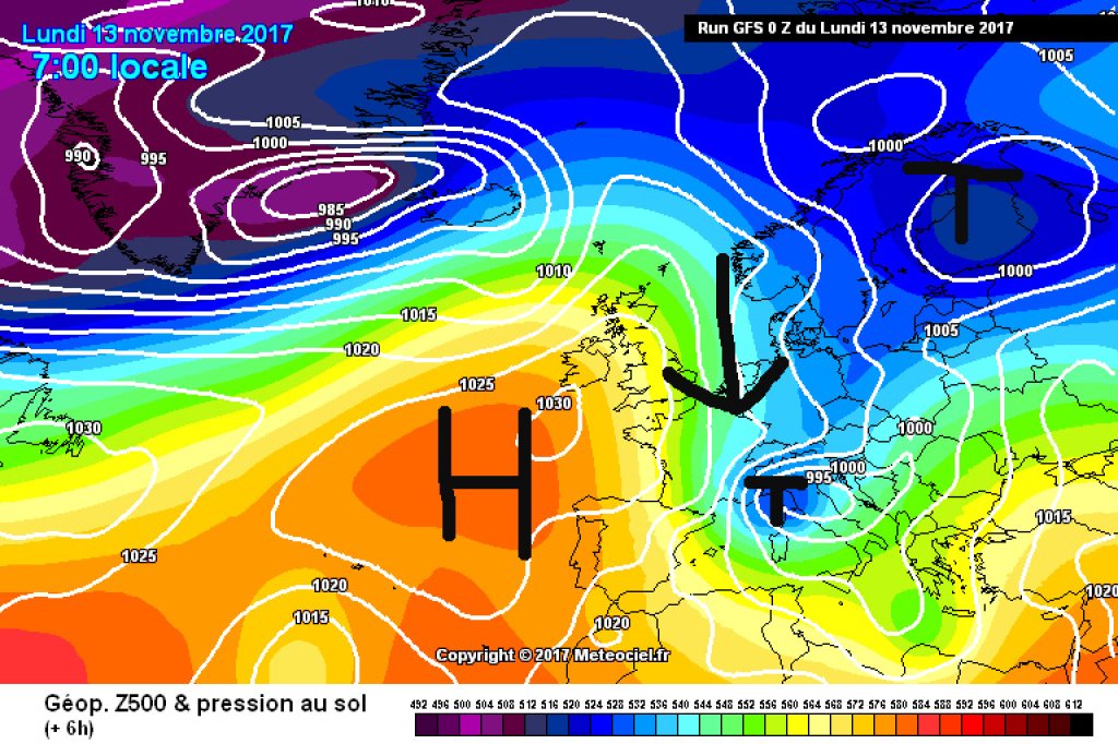
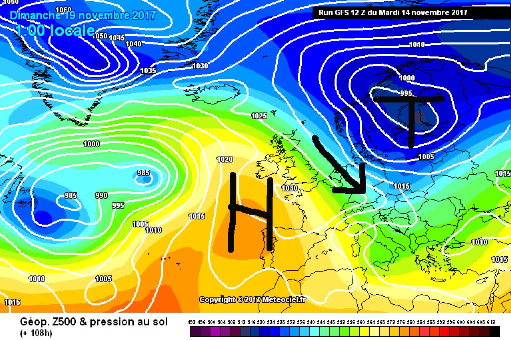
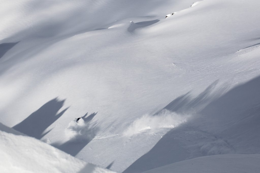
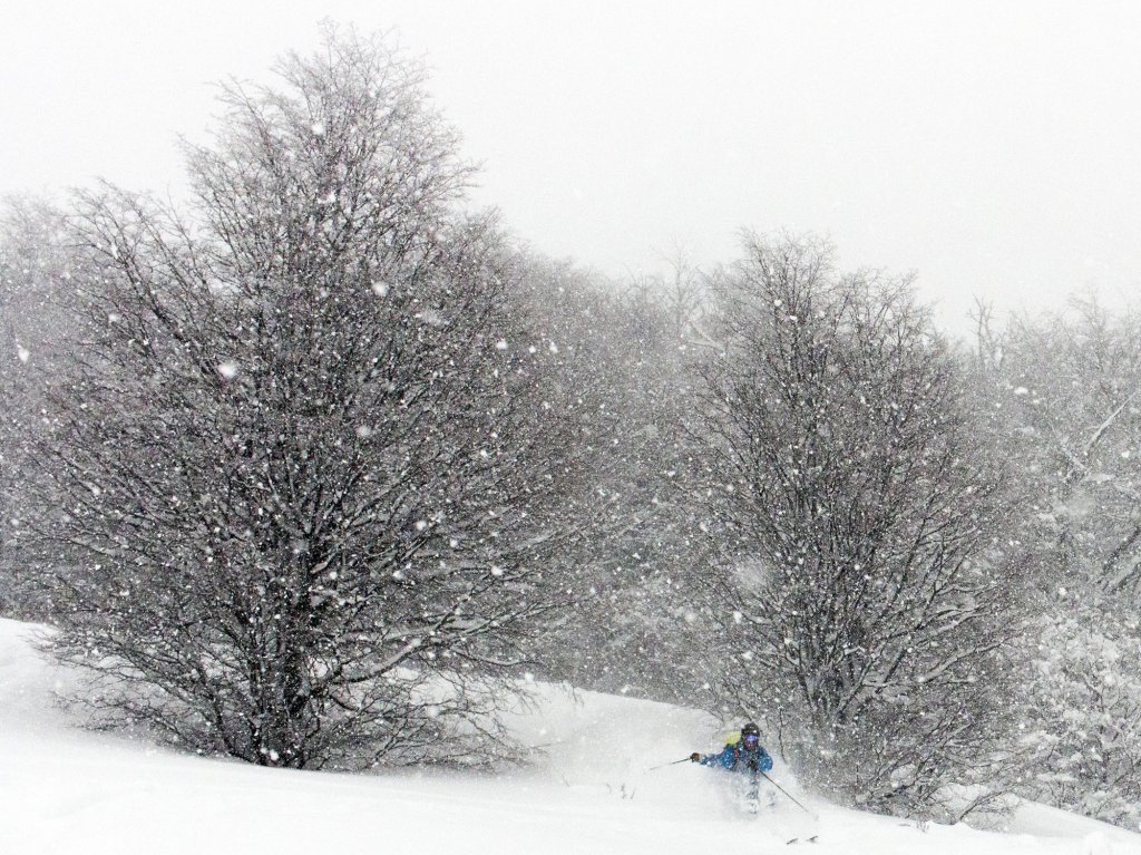
At the beginning of the week, there was then a pure northern thaw as a continuation of the start of winter. On the one hand, this was evident from the abundance of fresh snow in the northern accumulations, and on the other hand from the comfort of your living room thanks to the numerous PG Conditions reports and countless enthusiastic social media posts about crazy powder with only a few stones. The Azores High arched northwards off the European Atlantic coast and on its eastern flank, a low over Scandinavia pushed a load of polar air towards the Alps. Combined with the remnants of last week's southerly congestion, this northern snow now forms a base that makes the first tours possible in many places and creates anticipation. There is certainly more snow than in recent years at this time of year, but that is no great feat either.

WeatherBlogs
presented by

A low pressure trough has migrated from our northern depression into the Mediterranean and has turned into a potent cut-off low. The combination of cold polar air and still quite warm seawater is quite explosive and the low is even repeatedly showing ambitions for Medicane or "tropical like cyclone" status in the models - these are cyclones without fronts but with an eye, as they actually (almost) only occur in the tropics. It hasn't quite been enough so far, but it's still pretty uncomfortable in southern Italy at the moment. Some models now see the Medicane in the Ionian Sea for the next few days.

In the Alpine region, we can't keep up with so much weather at the moment - the Mediterranean low is only having an effect in the far south-east of the Alps with a little more cloud cover. We are dominated by the Azores High and its calming effect on the weather. While it is mostly bright and sunny and increasingly mild in the mountains, the inversion is hanging in the valleys, as befits the time of year

500hPa geopotential from Monday, 13.11.17. The Alps are located between the Azores High and the Scandinavian Rise in a northerly flow. The dripping low can be seen in northern Italy.

500hPa geopotential from Monday, 13.11.17. The Alps are located between the Azores High and the Scandinavian Rise in a northerly flow. The dripping low can be seen in northern Italy.

meteociel.fr

The outlook

The calm, sunny weather is expected to remain more or less unchanged until Friday. The weekend will then bring the next change in the weather. A new wave of cold air is already moving into position: a low pressure system is forming north of the British Isles, which will send us its foothills in several waves over the weekend. On Saturday, precipitation will gradually spread from the north. South of the main ridge, the weather will remain much more relaxed. Sunday and the beginning of the new week look similar at the moment, but somewhat colder and possibly with snow down to low altitudes. Where the maximum precipitation will be and how much will actually fall over the weekend is still rather speculative. Even in the medium term, however, the signs are pointing to rather unstable and wet conditions - not only is the current snow situation better than in recent years in November, but so is the outlook for the rest of the year.

Photo gallery

This article has been automatically translated by DeepL with subsequent editing. If you notice any spelling or grammatical errors or if the translation has lost its meaning, please write an e-mail to the editors.

Show original (German)

Related articles

Comments

WeatherBlogs
presented by