Skip to content

Cookies 🍪

This site uses cookies that need consent.

Learn more

Zur Powderguide-Startseite Zur Powderguide-Startseite

Language selection

Search PowderGuide

TouringTips

TouringTip | Piz d'Urezza

In the shadow of Piz Linard, the king of the Silvretta

by Steffen Kruse 02/23/2021
The tour described here is a summit that is not visited very often. However, this is completely unjustified, as it offers a magnificent panorama, magnificent and varied downhill options and, if desired, ski in/out directly from Zernez railway station.

General

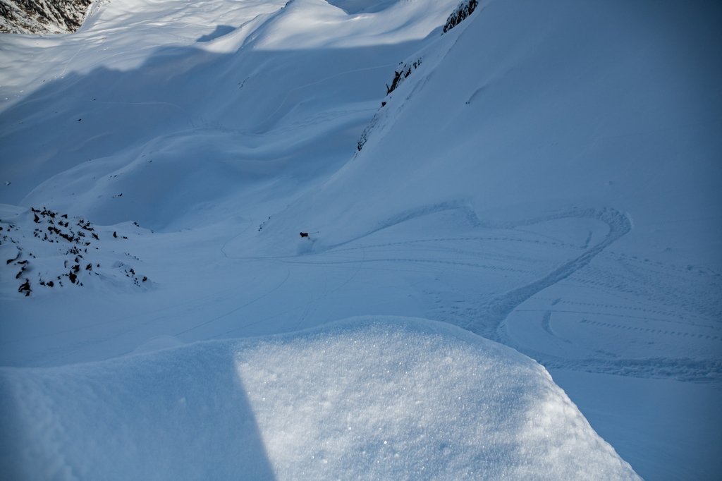
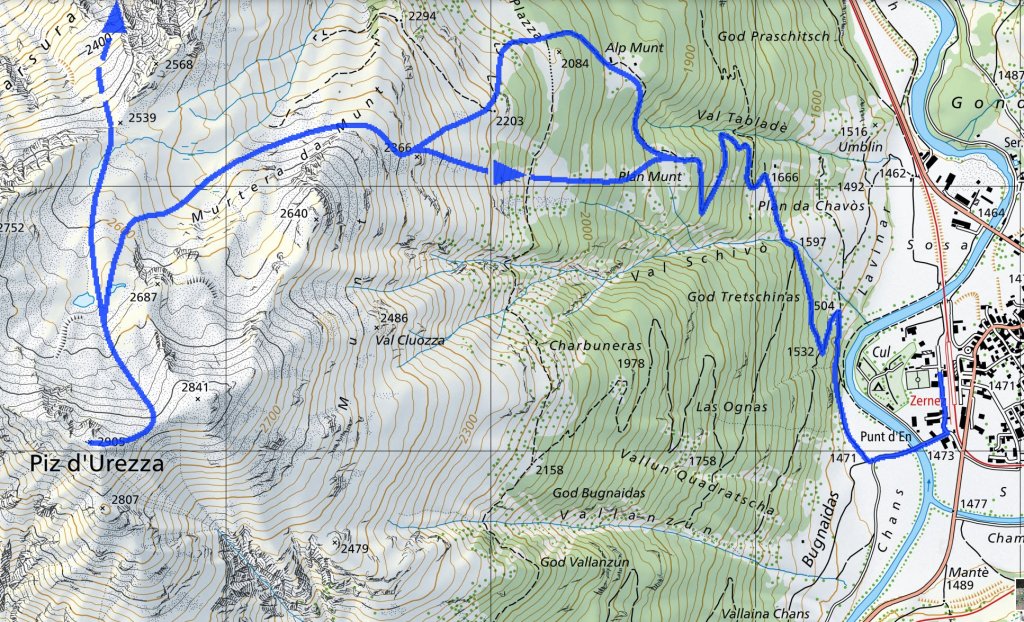
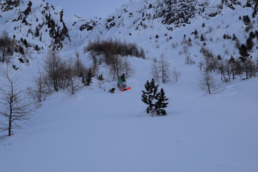
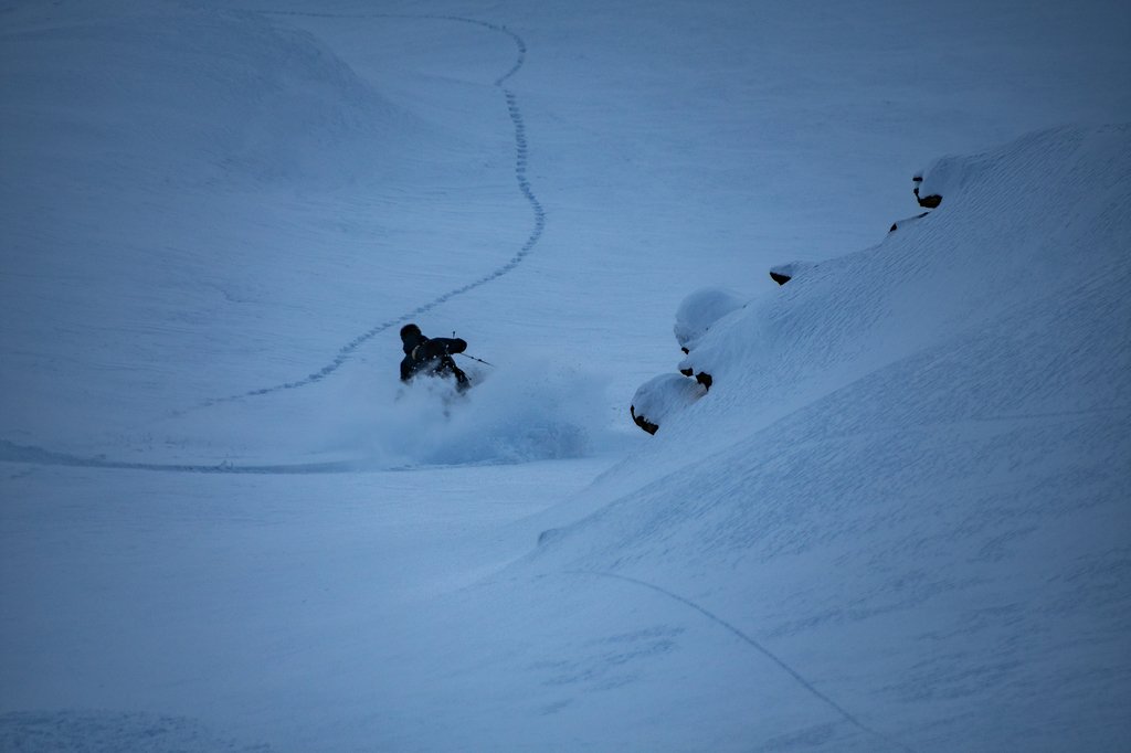
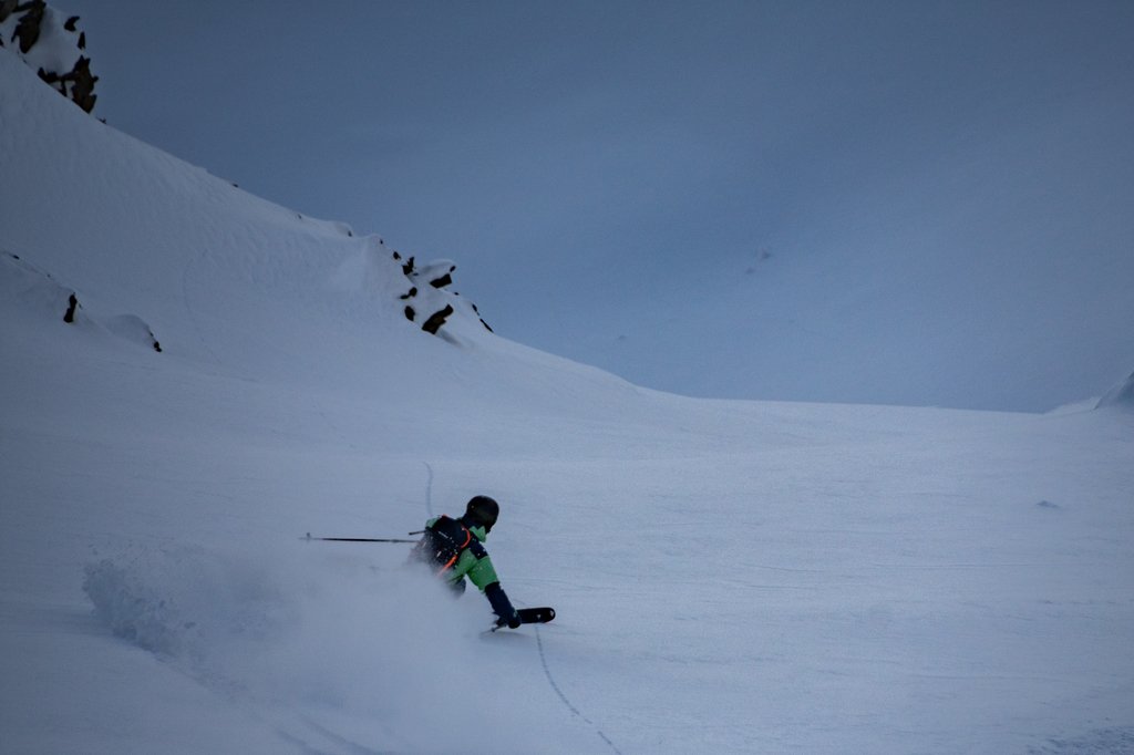
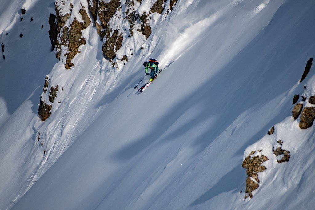
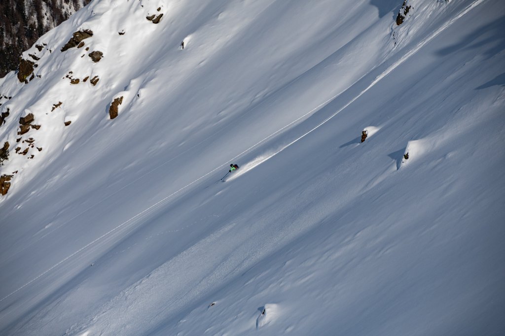
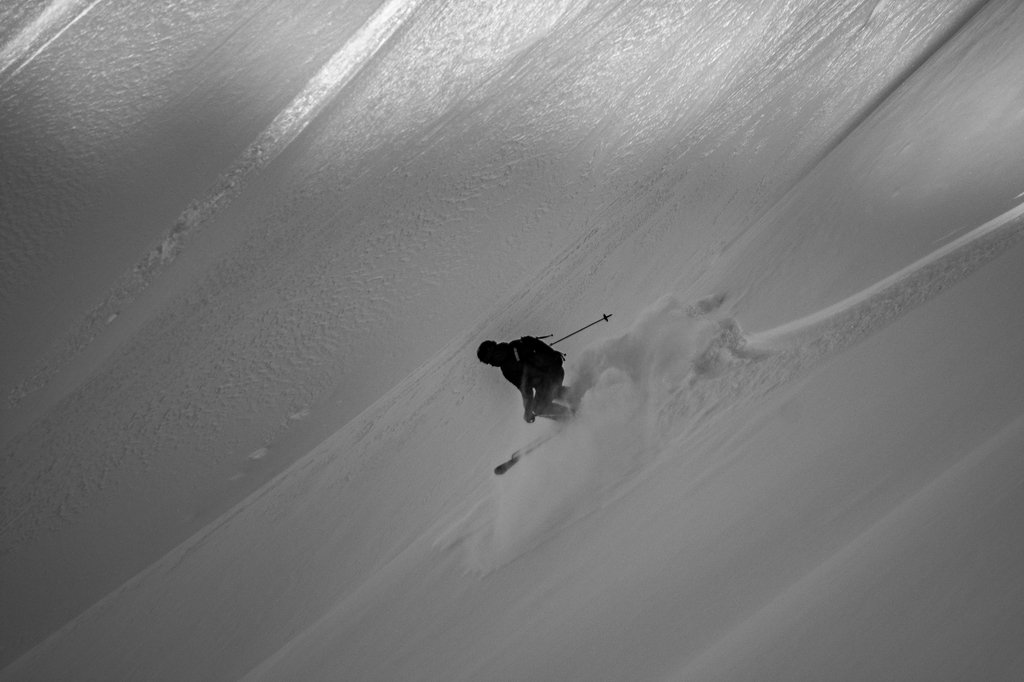
I will limit myself to the tour from and to Zernez railway station. Additional planning is required for any other descent (bus, hitchhiking, second car....). Both the ascent and the descent require perfect visibility and snow conditions (summit couloir 35° for 100 metres, the slopes into Val Sarsura 35-40°30-40 for 400 metres)

Ascent

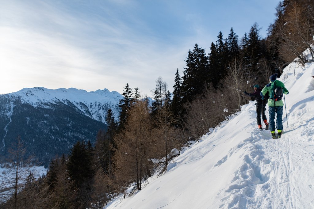
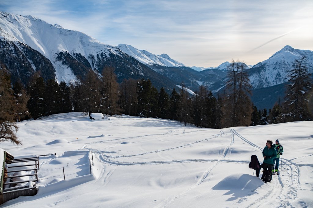
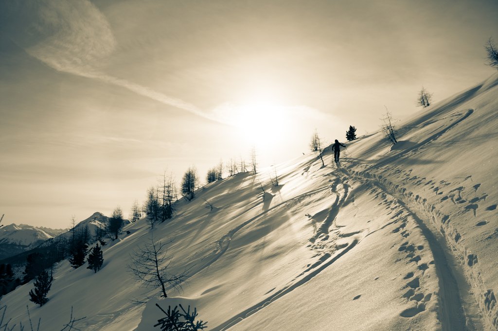
To the south of Zernez railway station, you first pass the campsite and cross the Inn bridge before following the hiking trail to Alp Munt. From there, follow the path north-westwards through the forest to the signpost at La Plazza. From there, head south-west up the slope to the plateau at  P.2366. From there, cross the ridge into Val Sparsa. Caution: safe conditions are required to traverse the mighty slope.

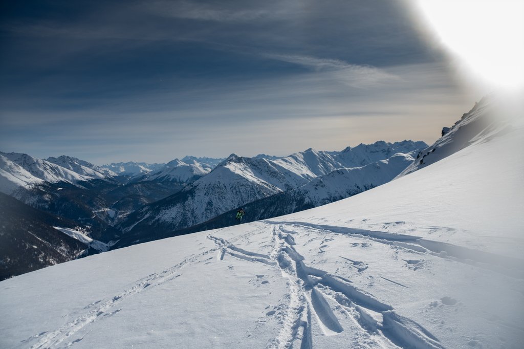
Next, head up to the two small lakes in the hollow. From there, head southwards to the summit ridge of Piz d'Urezza at P.2840. Now follow the east ridge to the summit, P.2905.

TouringTips
presented by

Descent

As already described, you can descend in every conceivable direction and via the most diverse variations, but safe conditions are required everywhere.

You can either descent directly from the summit (summit couloir 35 degrees for 100 metres) to the two lakes, or you can choose the descent on the same route, whereby at P.2367 you can also descent directly through forest aisles  to Plan Munt.

Information

Location: Zernez (Switzerland)
Mountain: Piz d'Urezza
Maximum gradient: 35°

Difficulty: ZS
Exposure: east to north
Altitude metres uphill/downhill: 1440 m
Best time: January to April

Special hazards: steep, avalanche-prone slopes, diurnal warming
Topographic maps: LK 1218/259S (Tour 549a), map.geo.admin.ch

The PowderGuide touring tips are general descriptions of tours that we subjectively like. They do NOT refer to the current conditions. Read the weather and avalanche report and plan your tour accordingly.

Photo gallery

This article has been automatically translated by DeepL with subsequent editing. If you notice any spelling or grammatical errors or if the translation has lost its meaning, please write an e-mail to the editors.

Show original (German)

Related articles

Comments

TouringTips
presented by