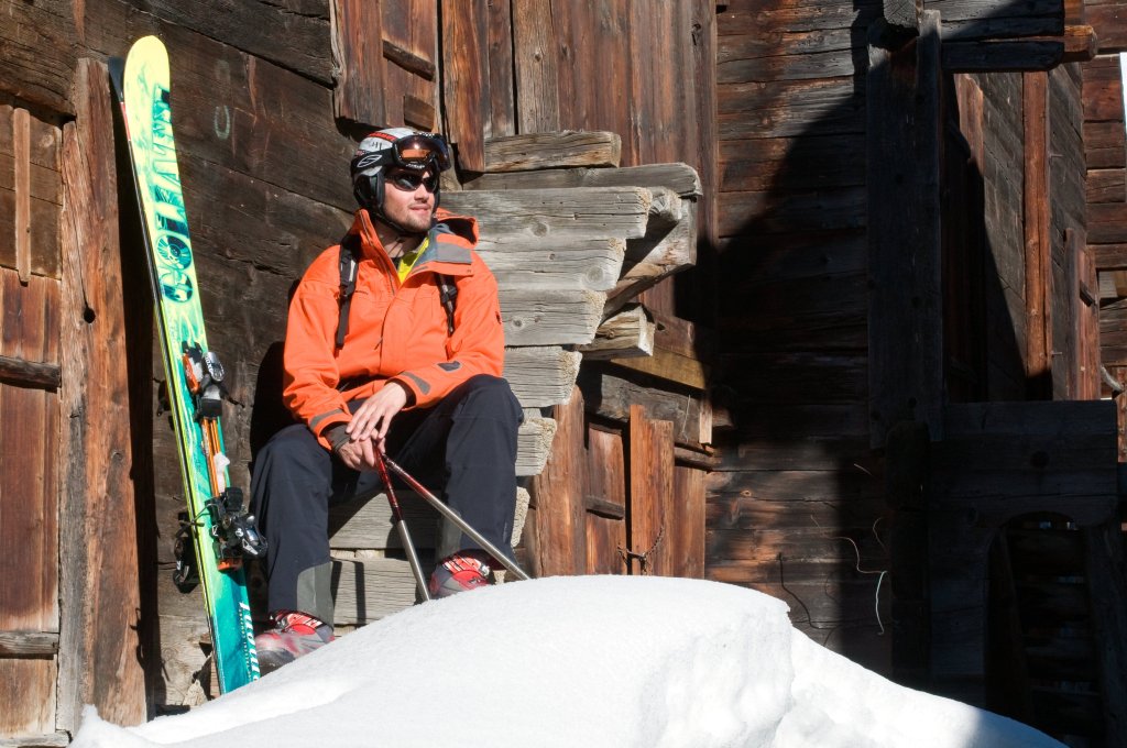
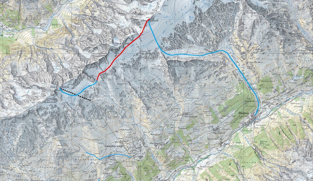
Ascent
From the Hockenhorngrat mountain station (3,111 m), you first descent on the ski piste over the Milibach glacier. Soon, however, the skins are put on and you ascend to the north-east. You bypass P. 2,919 m to the east and P. 2,911 m to the north-west, where a short steep section awaits you. You quickly reach the summit of the Elwertätsch (3,208 m) via the Tennbach glacier to the south past the Tennbachlücke.
Descent
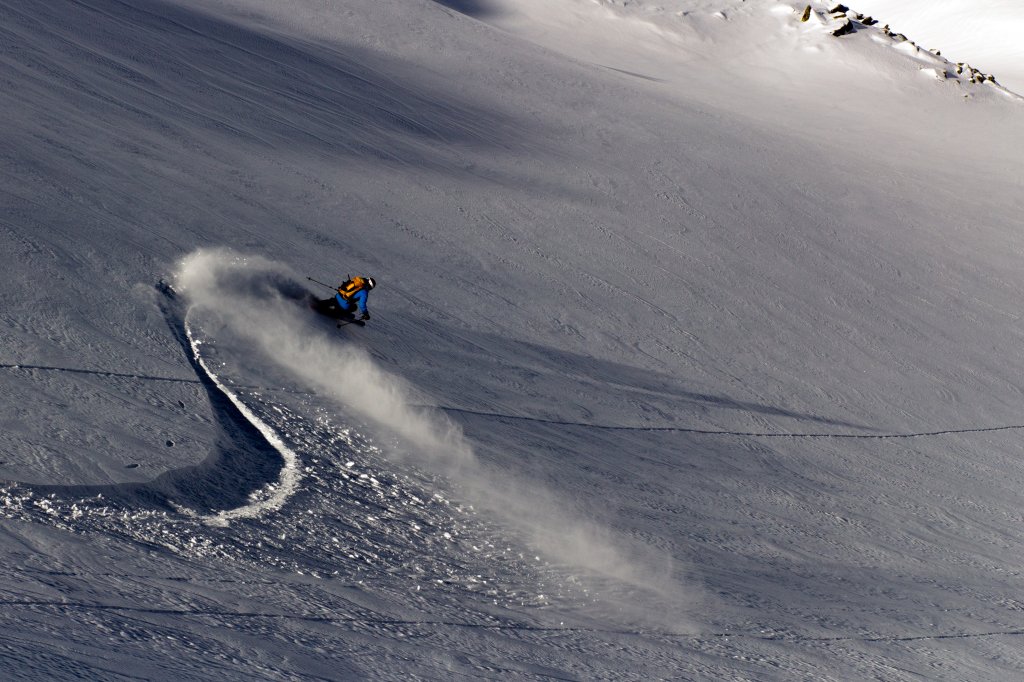
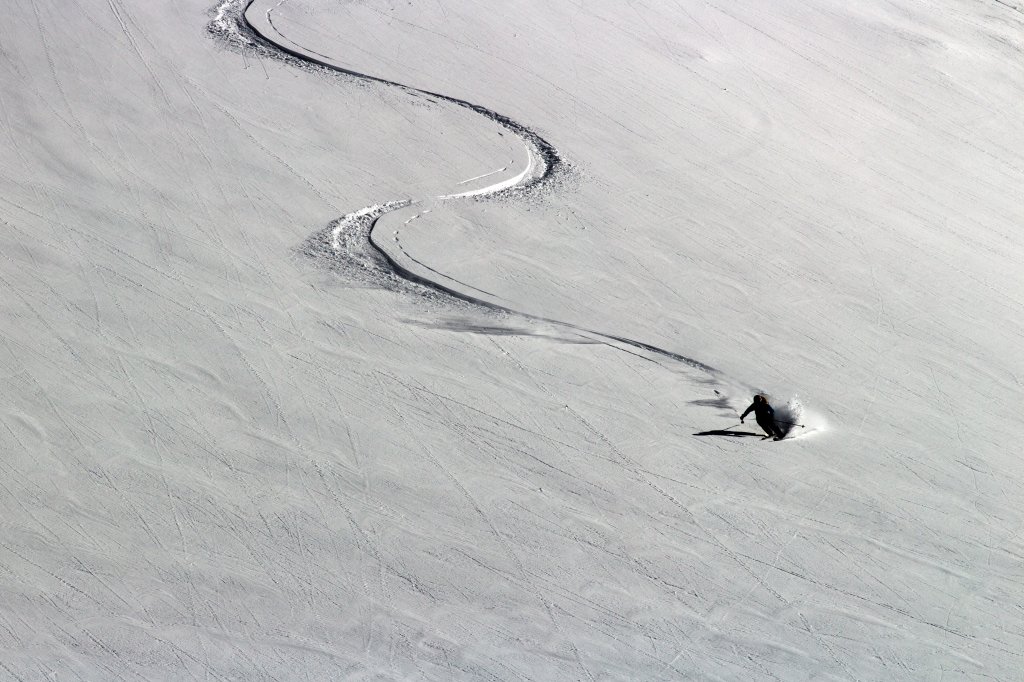
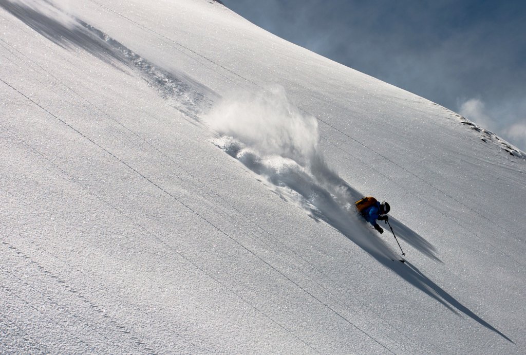
There are several options for the descent. Against the unique backdrop of the Bietschhorn, for example, the descent leads through the picturesque Tellin down to the valley floor near Blatten. To do this, first descend to P. 2,851 m, then head north of the Tennenbachhorn in an easterly direction towards P. 2,536 m. After a short, steep couloir, turn south-east to reach Blatten (1,540 m) via the Tellistaffel. Return to the cable car station in Wilder by post bus.
Alternative
If you choose a variation in the hilly terrain west of the Tennbachhorn past the Spalihorn, you can reach Lauchernalp again directly. And once there, the cosy sun terraces will tempt you to take a break.
Information
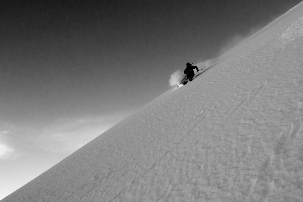
Difficulty: *** (basically not very difficult descent, but short steep passage in the couloir north of the Tellihorn)
Altitude metres uphill and downhill: 500 m | descent 2.000 m
Exposure: SE/NE
Maps: Freeridemap Lötschental, Swisstopo National Map LK 1:25 000 Sheet 1268 Lötschental, Swisstopo Ski Touring Map LK 1:50,000 Sheet 264S Jungfrau
Contact: Lötschental Tourismus, 3918 Wiler, phone 027 938 88 88, www.loetschental.ch, Luftseilbahn Wiler-Lauchernalp AG, phone 027 938 89 99, www.lauchernalp.ch
How to get there: Public transport: SBB to Goppenstein, post bus to Wiler (Lötschen). Private transport: cantonal road Lötschberg car transport Goppenstein - Wiler, or cantonal road Gampel - Goppenstein - Wiler
This tour is from the book "Die schönsten Freeride-Touren der Schweizer Alpen", which is available here.