Skip to content

Cookies 🍪

This site uses cookies that need consent.

Learn more

Zur Powderguide-Startseite Zur Powderguide-Startseite

Language selection

Search PowderGuide

TouringTips

TouringTip | Urtirolaspitz - Piz Terza (2908m)

Wellness tour between CH and IT

by Steffen Kruse 04/04/2022
I hadn't actually planned to go to this summit border (Switzerland-Italy), or even knew that it existed. But the name "Urtirolaspitz" alone left me no other choice.

General information

Before we get to the gists of this beautiful and exquisite mountain, we need to establish the basic requirements for authorisation to climb it. How do you actually pronounce the valley, the "Val Müstair", correctly? The locals quickly clarified this over a beer at the bar in the evening and were able to explain it quite memorably. Val Müstair has the best eggs.... Any questions? (Probably only makes sense in German, but maybe not.)
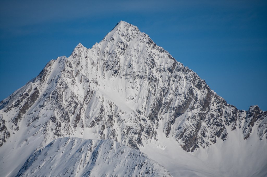
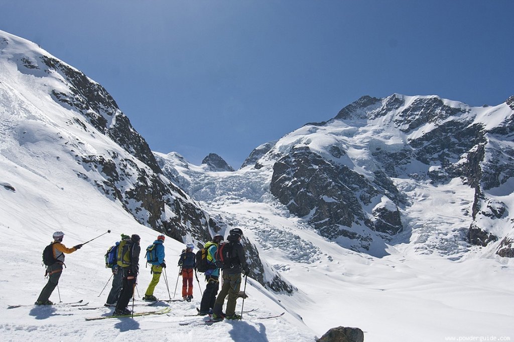
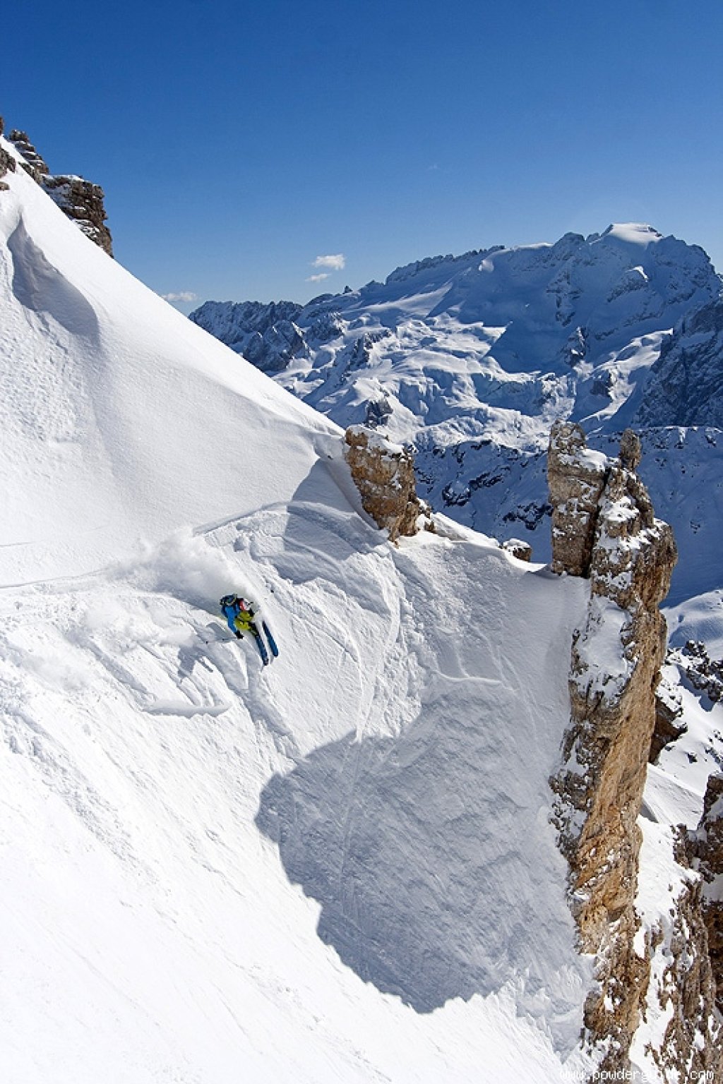
Ascent

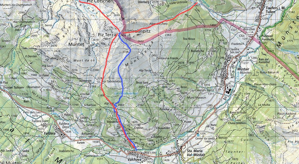
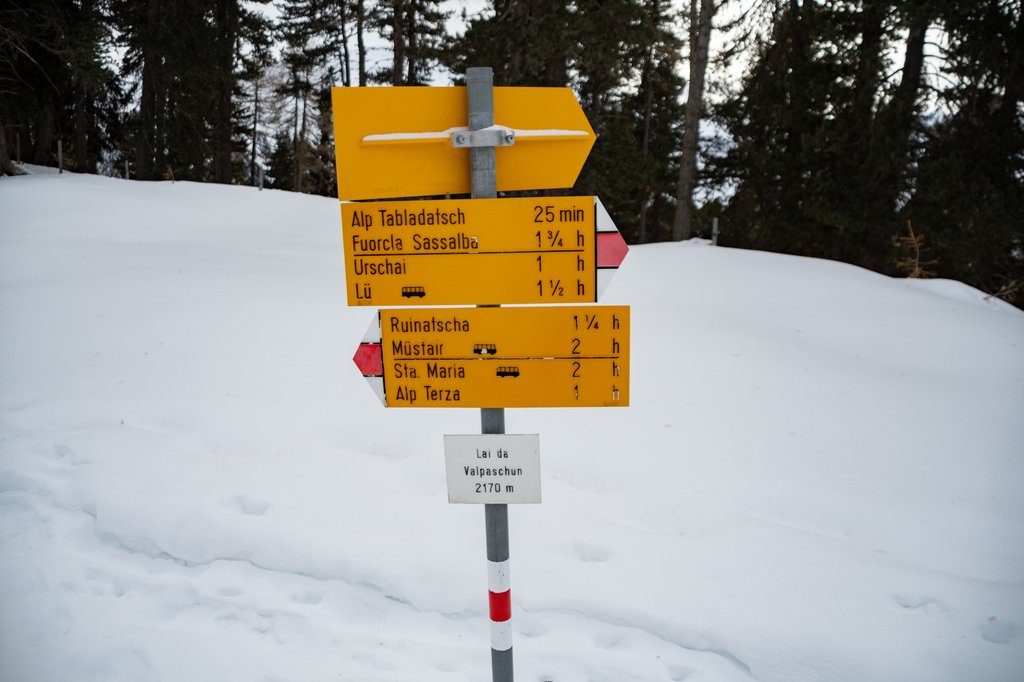
So, now that the basics are clear, let's start the actual ski touring. Due to the poor snow conditions, I started from Valpaschun (1,770m). In normal snow conditions, you could actually start directly from Valchava (approx. 1,450m) and extend the tour a little.

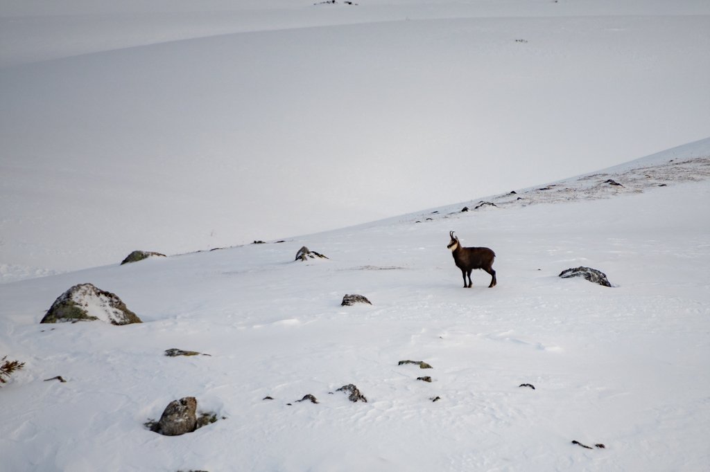
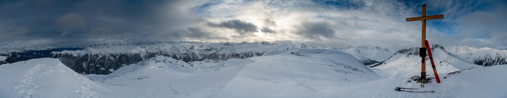
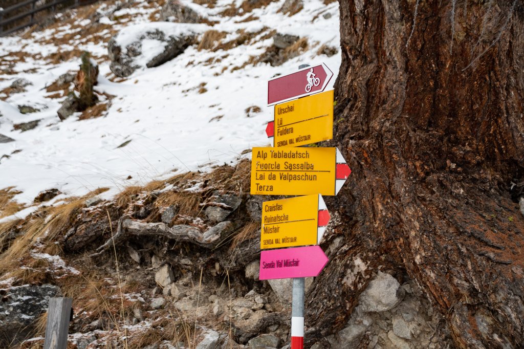
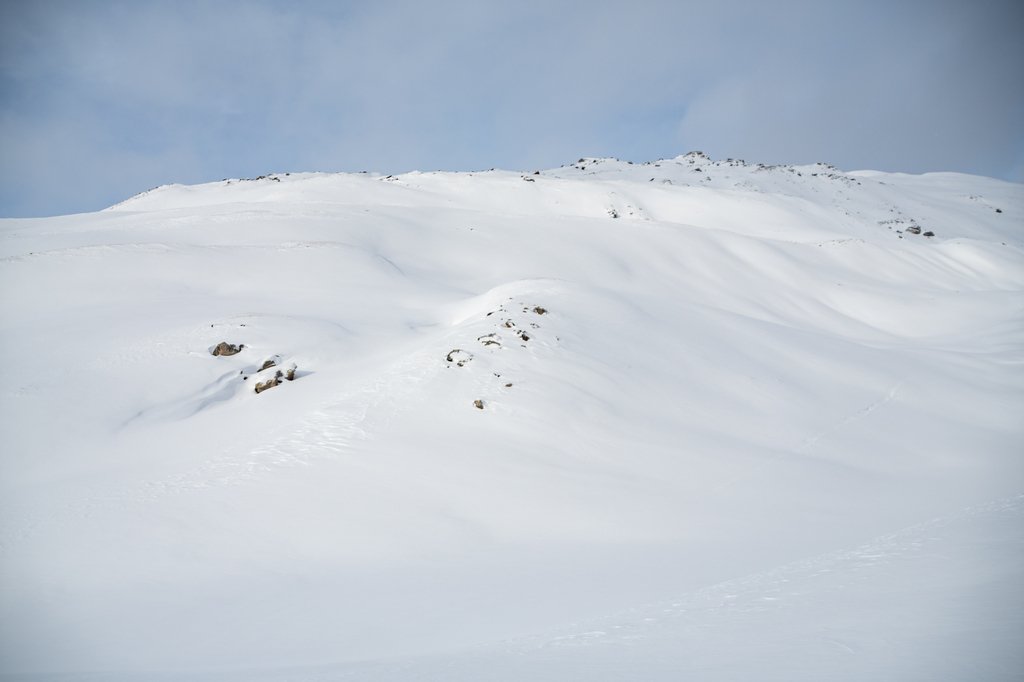
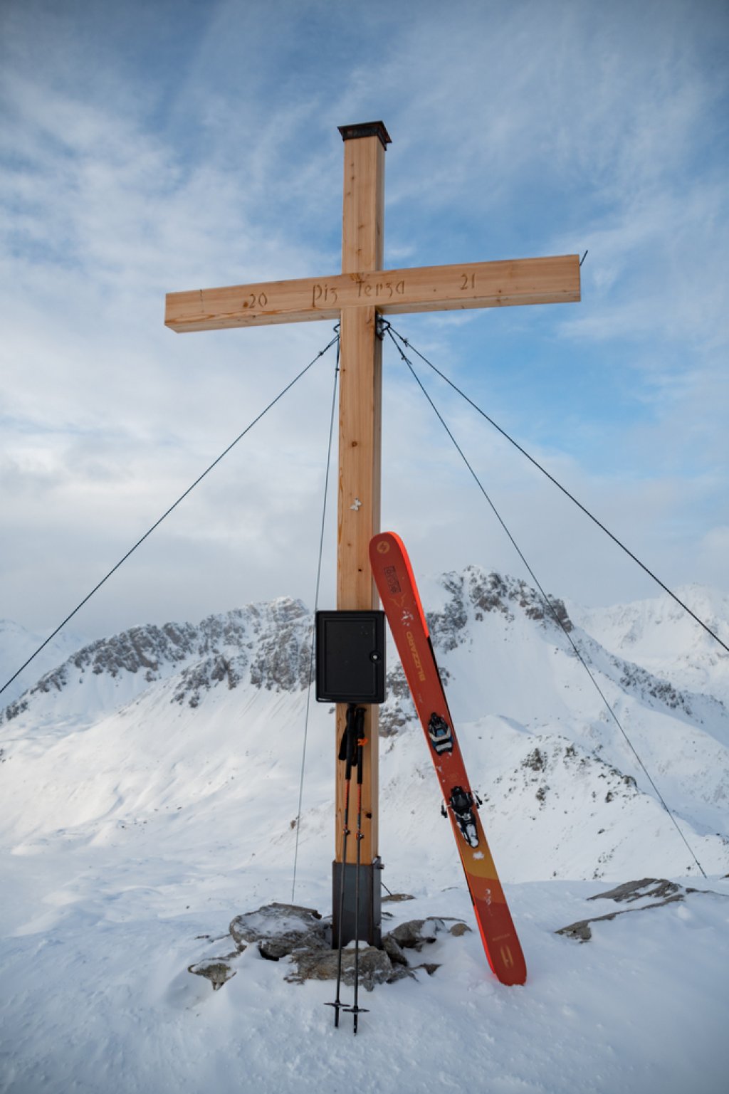
In any case, you start directly at the hiking signs in the hamlet of Valpaschun. The first part of the tour heads northwards across moderately steep alpine meadows. Above Alp Sot, head north-east into the sparse forest towards Lai da Valpuschun (2,170m). You'll encounter all kinds of animals in the forest, but I didn't come across a bear. Once there, it's best to aim for point 2,326 first. However, leave this to the east and continue north towards point 2,573. Once there, head north-east to point 2,726. Shortly before reaching the point, turn north towards the summit, the large summit cross can already be seen (at least in good weather).

TouringTips
presented by

All in all I would describe this tour as rather defensive (ascent and descent variants) and also easy to do in more difficult conditions (snow, visibility, weather). It is always possible to turn back. When there is little snow, it can be a little bumpy in the forest region.

Departure

For the descent, you can draw on the full range of options and choose any variation - over moderate, wide fields (south-east to south-west). In safe conditions, however, I would also try the east-facing (towards Italy) variation. Unfortunately, I was only able to descend almost like an ascent, at least in the lower part, but this did not detract from the beauty of the tour.

Conclusion

A dream tour to a summit with a splendid name, which is also suitable for wellness freaks.

Have fun!

Information on

Difficulty (5-level scale): **


Exposure: S


Altitude metres uphill and downhill:  approx. 1,450m (depending on variant)


Best time of year: January to March


Topographical maps: National map Swiss-Topo, 1239 Sta. Maria, 1:25000; National map Swiss-Topo (ski tours), 259 Ofenpass, 1:50000

The PowderGuide tour tips are general descriptions of tours that we subjectively like. They do NOT refer to the current conditions. Read the weather and avalanche report and plan your tour accordingly.

Photo gallery

This article has been automatically translated by DeepL with subsequent editing. If you notice any spelling or grammatical errors or if the translation has lost its meaning, please write an e-mail to the editors.

Show original (German)

Related articles

Comments

TouringTips
presented by