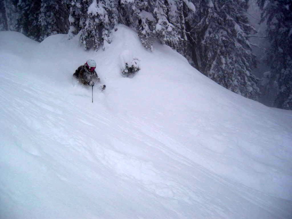
Persistent snowfall in the northern Alps and often poor visibility. In these current conditions, a freeride descent in the forest close to the lift is often a good idea. This week's freeride tour fulfills the best conditions for this and does not require an ascent. The Angeralm is THE freeride descent on the Krippenstein. 1500 vertical meters of descent in varied and extensive terrain.
Tour description
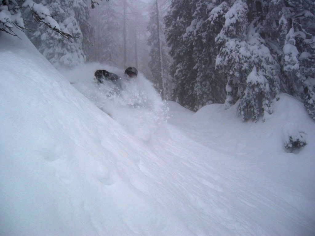
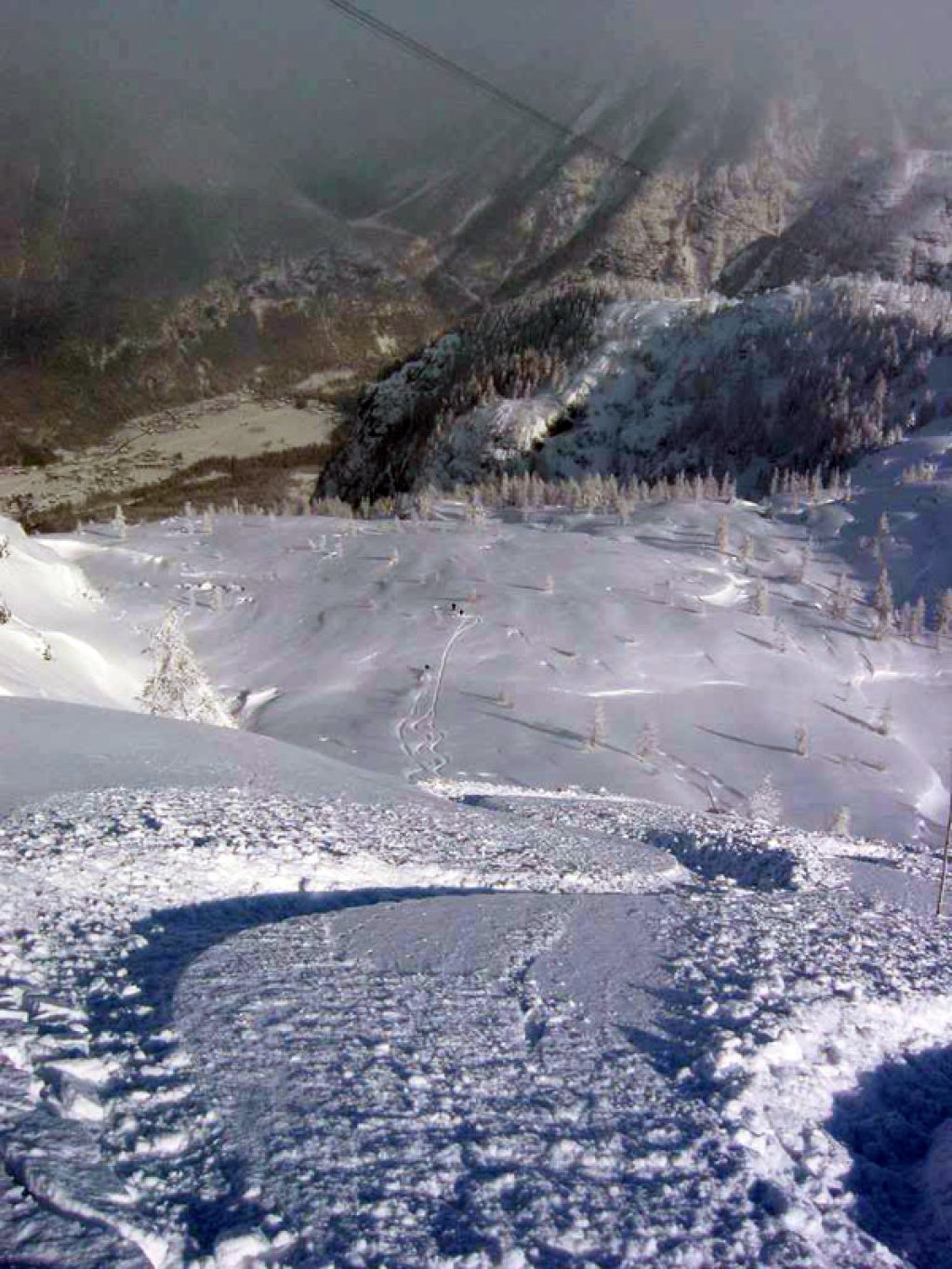
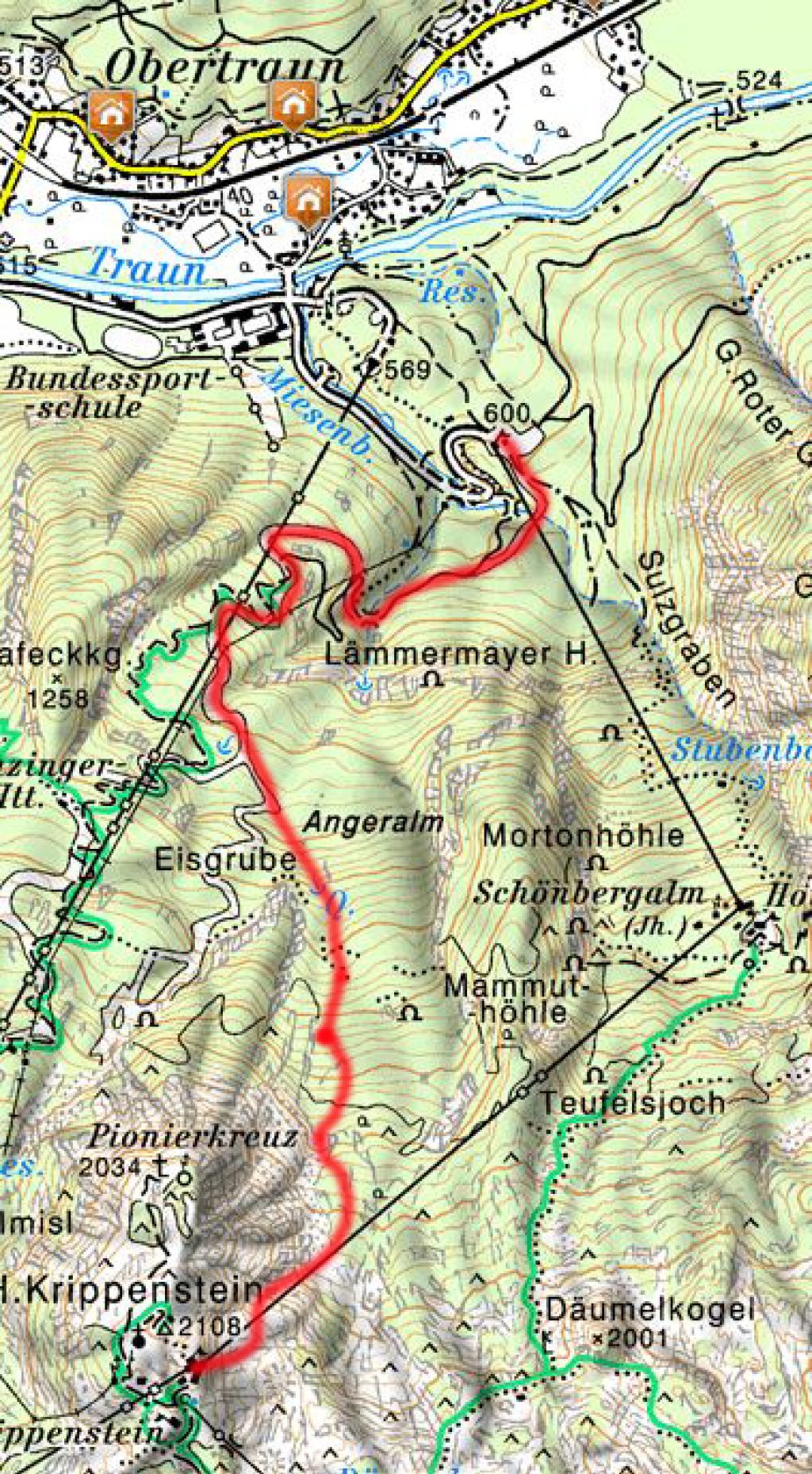
From the mountain station below the cable car, or less difficult below the chairlift mountain station on a ridge heading north. Caution! Off the ridge, danger from sinkholes (hollows in the limestone)! Path markings (poles) make it easier to find the way. Next, head a few meters east and over a short, steep slope into the main slope. This is followed by a moderately steep section, which you follow until you reach the "Exit" signs. At these, in the lower part of the Angeralm, cross to the left. Dangerous rockfalls lurk below, which cannot be negotiated by skiers! The once challenging exit from the Angeralm in the steep, often rutted and icy forest was significantly defused in 2010 by the construction of a 40m-long ski bridge. After this, you follow the busy Eisgrube variant to the piste, and this to the valley station.
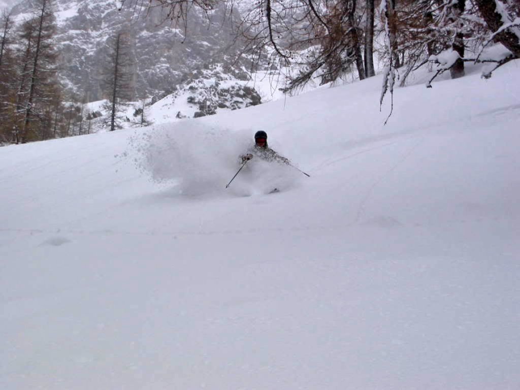
Alternative downhill options can be found further east in the middle, flatter part of the Angeralm. Beautiful descents are possible here in the sparse larch forest, but caution is advised here too: the terrain is interspersed with some rockfalls and there are sinkholes here too!
Information
Difficulty (5-level scale):***
Special dangers: sinkholes, rockfalls, orientation, access often dangerous due to avalanches and partially overgrown.
Average steepness/maximum steepness: 30°/ 45°
Exposure: N-E
Altitude difference start and finish: 2.108 m | 600 m
Altitude difference uphill and downhill: 0 m | 1,500 m
Duration: 30min
Best time of year: January - March
Accommodation: Lodge, www.lodge.at, +43(0)613121801
Addresses: Dachstein-Salzkammergut Tourismus, +43 (0) 6135 8329, Krippenstein ski area, +43 (0)50 / 140
How to get there: Via Bad Ischl or the Gschütt Pass to Obertraun.
Topographical maps: Alpine Club Map 14, Dachstein Mountains with ski markings, 1:25000
Book tip: PowderGuide, the best freeride areas in the Alps
This freeride tour can be found in the book "PowderGuide: The best freeride areas in the Alps" (p. 146ff).