Skip to content

Cookies 🍪

This site uses cookies that need consent.

Learn more

Zur Powderguide-Startseite Zur Powderguide-Startseite

Language selection

Search PowderGuide

PowderAlerts

PowderAlert number three - The end of October

Snow at last, but with extremely weak foundations

by Lars Oelmann 01/02/2016
I've almost forgotten how to interpret weather maps, it's been so awful the last few weeks. But October is finally over and January seems to want to live up to its image as a winter month, at least for a few days.

There has already been up to 25 cm of fresh snow, which is lying more or less on top of our November snow.

The initial situation:

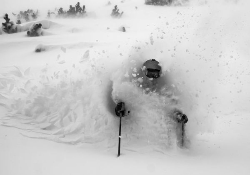
It looks like the beginning of October, only the build-up is much worse than in October, because in the last few weeks the weather has turned our remaining snow on the north-facing slopes into a nursery full of marbles and the inclined freeskier now wants to run full throttle into the room, hungry for powder (to get away from the ball-bearing metaphor). You can fall flat on your face or, in our case, easily trigger a snow slab. The LLBs in the west see it similarly with level 4.

So before I write anything about the quantities: Read the LLBs even if there is still hardly any snow and only stay where there was no snow before as long as this foundation is not thickly covered or you know the snow cover from before very well.

But it will finally snow more than 30cm for the last FIVE weeks and the question is:

Where?

And as so often in recent years, the answer is: in the west. From the Hautes Alpes to the Lower Valais will probably see the most snow by Tuesday afternoon. A little could also fall from the Bernese Oberland to the Arlberg. Otherwise, it looks rather bleak.

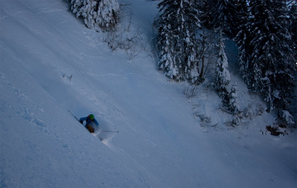
The snow line should hover around 1000m, so you can definitely tackle trees in France and parts of Switzerland with some base from yesterday. Nevertheless, the surface will be scratchy.

As the current is quite strong, everything above the tree line will be pretty blown away anyway. At least the wind will ensure that the whole thing is pushed quite far towards the main Alpine ridge and into Valais.

Ad

The amounts

From the Hautes Alpes to the Lower Valais, around 35-60cm of snow will fall by Tuesday afternoon, depending on the western congestion, and in the absolute western valleys possibly also 70-80cm in isolated cases.

From the Bernese Oberland to the Arlberg, around 15-30cm will be added. In the west of this area in the direction of western Switzerland possibly also 40cm in the traffic jam. Otherwise, the alarm will probably be missed by a wide margin and at most there will be cosmetics.

In the medium term, it looks like further snowfall with a changing snow line up to around 1600m so that an alarm could possibly still come this week. From 10.1. everything still seems open from powder heaven to subtropical hell. So please keep your fingers crossed and pray at the Ullr shrine so that Ullr doesn't take his gifts to other continents again.

Powder to the People!
Your Oracle

P.S. Please take care of yourselves with this lousy base and the powder hunger.

This article has been automatically translated by DeepL with subsequent editing. If you notice any spelling or grammatical errors or if the translation has lost its meaning, please write an e-mail to the editors.

Show original (German)

Related articles

Comments