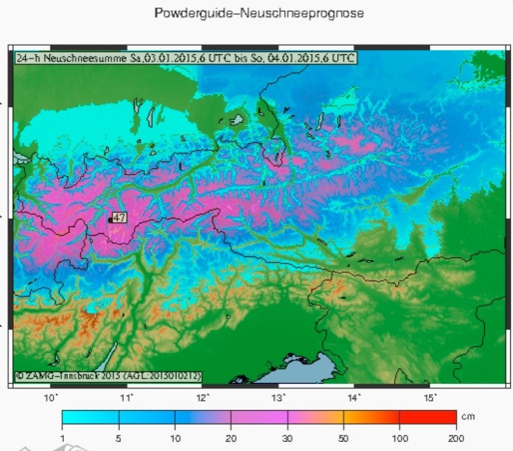
While in the far east, i.e. Dachstein and further east, it can stay at the very bottom and at least from 1000 meters everything will come as snow, in Switzerland and northern France it climbs up to 2000 m and anything can happen in between. In closed alpine valleys it can go further down, for example in the Rhone Valley and in the northern Gadin. Such orographic peculiarities would also be suitable in Austria.
Except in such lucky cases, it will rain from central to eastern Switzerland up to 1800 or 1600 m; from the Arlberg to Tyrol it will probably snow from 1700 to 1200 m. Always from west to east. The cold air will then arrive on Sunday and it will snow down to the valley.
Our main problem, however, is that most of the precipitation will fall during the warm phase. One exception is the east, where there will be real northern accumulation until January 5!
The amounts will be between 40 and 70 cm from west to east above 2200 to 1700 m from the Mt. Blanc area to Tyrol by Sunday noon, depending on the accumulation, as it is quite warm and the accumulation will not last long. The situation is different in the east, as snow continues to fall and accumulate even during the cold. I see 60 to 80 cm in the northern accumulations from eastern North Tyrol via Salzburg, Styria etc. from 1500 to 1200 m until Monday noon (5.1., so don't despair on 4.1.) and possibly a pile-up will also reach the magic meter.
The storm will be problematic, as it will push the snow up to the main ridge, but will also transport everything, so that there will be little powder and a lot of danger in the high mountains.
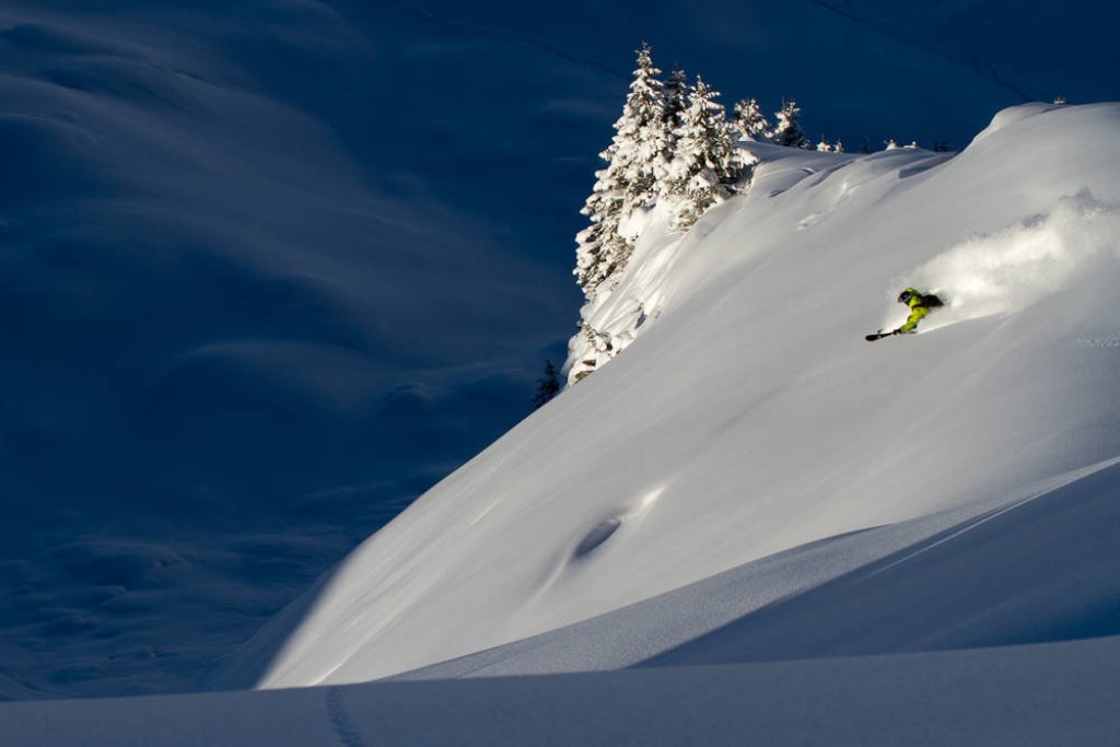
My tip for the west: look for trees in the Rhone valley or hope for sunshine on Sunday afternoon, as it dries out quite quickly.
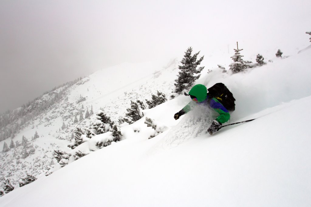
In the east you can go play in the trees on Sunday and Monday and go high on January 6, and in the areas in between you'll need a 36 red roulette to hit everything perfectly on Sunday. I would just go up there on Monday and watch out for avalanches. For all those who are traveling further anyway: Go East young man!
You see Ullr doesn't always make it easy for us to enjoy his gifts, but we are still grateful disciples. I would still use the coming days, because in the medium term it looks like a coin flip, to stay in gambling parlance. Something may or may not happen again next weekend.
Powder to the people and good luck with the snow line!
Your Oracle