Skip to content

Cookies 🍪

This site uses cookies that need consent.

Learn more

Zur Powderguide-Startseite Zur Powderguide-Startseite

Language selection

Search PowderGuide

PowderAlerts

PowderAlert No. 6 2014/15 | Nordstau

The surprise alarm: North traffic jam

by Lars Oelmann 12/28/2014
Photo from 29.12.2014

Photo from 29.12.2014

Christian Skala
Salzburgerland
Regina
After the last congestion has passed and the coreshots are being repaired, Ullr comes up with the idea of giving our rather dry northerly flow a bit more pep than the models have seen in the last few days and creates a small active boundary disturbance that brings us powder. So this much less sad alert comes as quite a surprise. Less sad because we have a base. At least below the tree line.

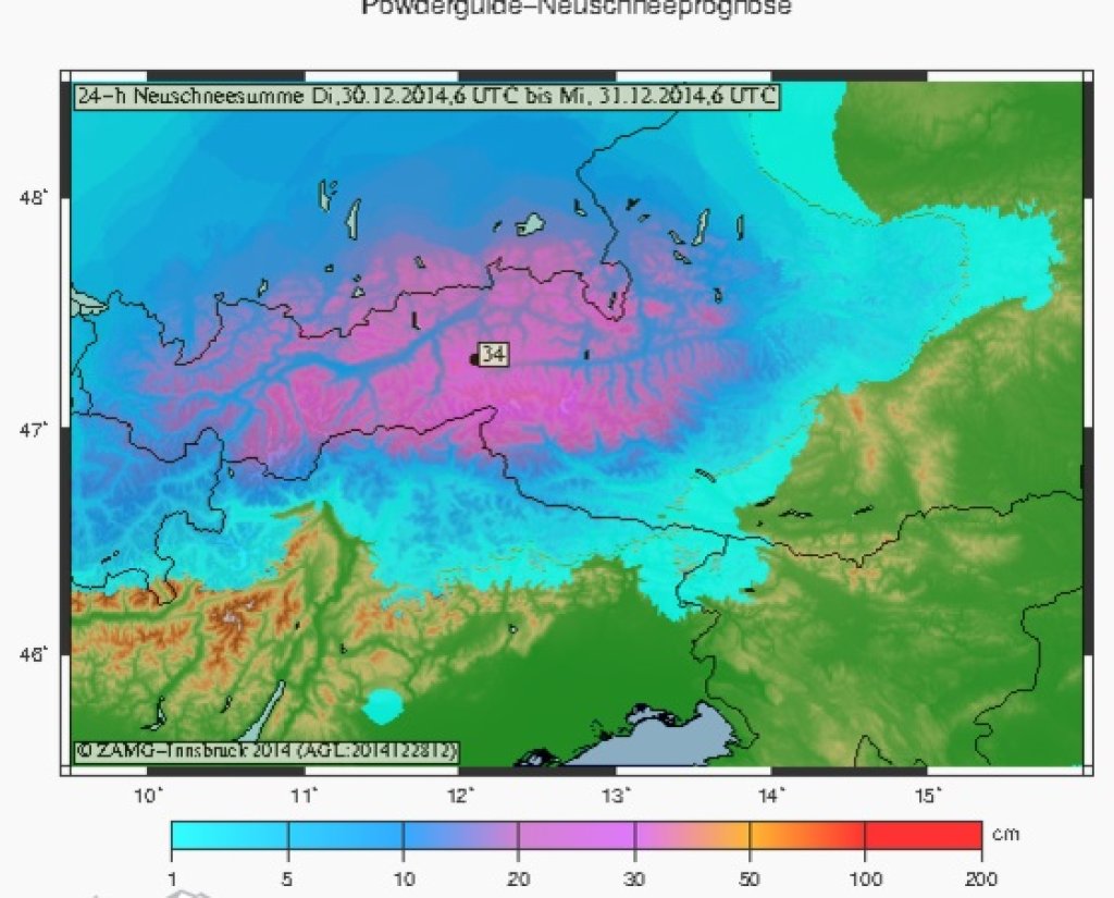
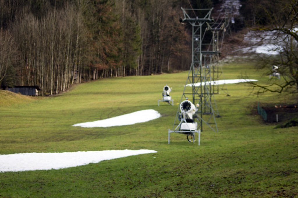
The snow line is so low that we will find cold blowers at all altitudes. And the wind is also playing along: since our current is actually quite cozy, it's not blowing all the way to Milan either. The problem is that it will be a really pure northerly storm and most of the snow will fall in the foothills of the Alps or the typical accumulation areas. There will be significantly less on the main ridge, i.e. 50 percent less than in the foothills of the Alps.

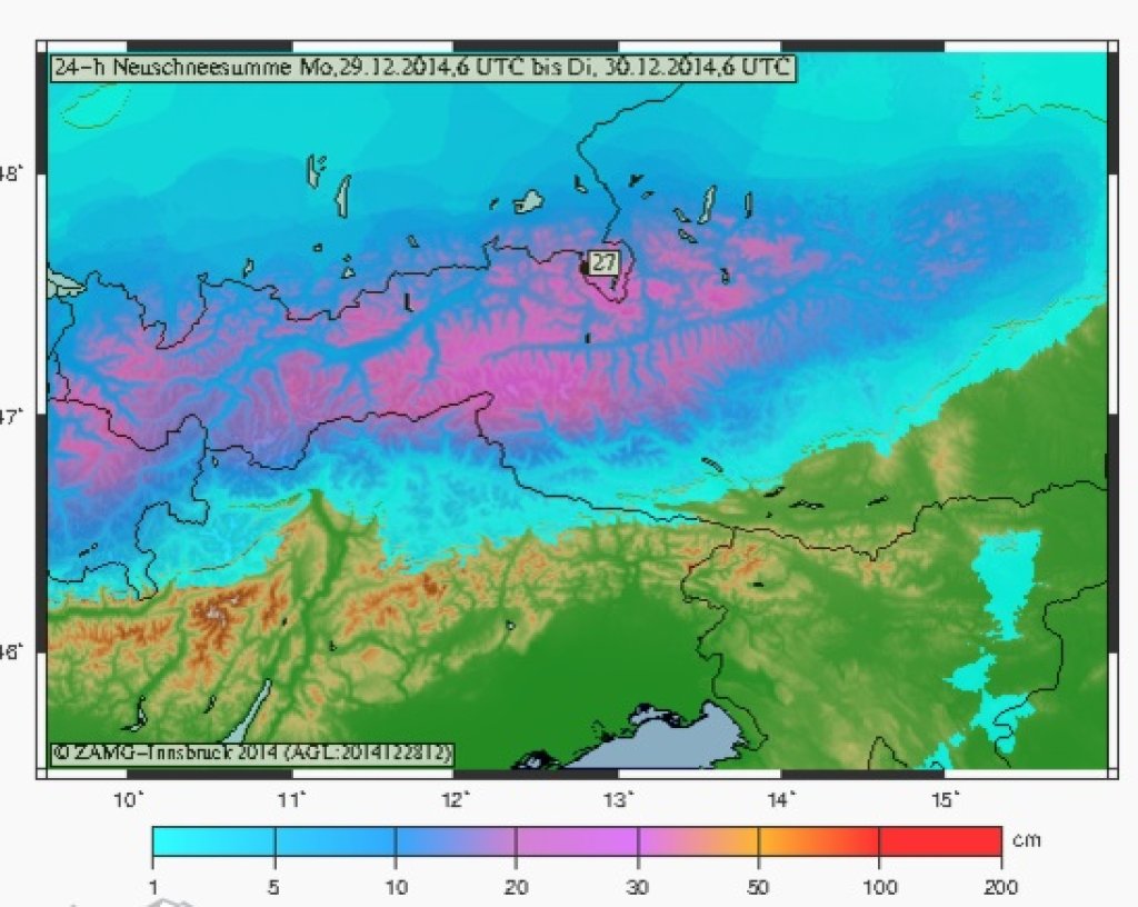
Where will there be how much by Wednesday morning?

In the South and in France nothing, from the Lower Valais to Central Switzerland there will be some cosmetic powder in the 10 to 20 cm range and from there it will go steeply upwards. In Glarus and Alpstein it is currently 25 to 40 cm and then rises to 50 to 70 cm towards Arlberg. After that it should be 35 to 60 cm in North Tyrol and it will stay that high up to the Kitzbühel Alps. In the northernmost northern congestion, mind you.

Further east, the amounts should then decrease again and from Salzburg to the Rax it will be 40 to 20 cm, decreasing from west to east. However, this is only the current status, as this small marginal disturbance is currently targeting the Arlberg and North Tyrol. However, if this fickle system weakens or shifts 100 km to the west or east, my painstakingly created boundaries will become obsolete. After all, it wasn't even in there two days ago.

A special treat could be waiting for all core skiers in the core zone (of course on the Arlberg :D ), because I wouldn't want to rule out 80 or 90 cm in one or two bumps here. And that on base.

So ladies and gentlemen: Looking forward to Wednesday and swapping rock skis for the blower boards. However, I wouldn't necessarily go above the tree line, or only if I know what it looked like there beforehand. From Thursday onwards, sunny touring weather until after the New Year.

Powder to the People!

Your less sad oracle.

P.S. In the medium term, it's not entirely clear what will happen from the beginning of January. Only West is fairly certain. You'll find out at the end of course from our colleague WeatherBlog or, at best, here.

Photo from 27.12.2014

Photo from 27.12.2014

Christian Skala
Dachstein Glacier

Photo gallery

This article has been automatically translated by DeepL with subsequent editing. If you notice any spelling or grammatical errors or if the translation has lost its meaning, please write an e-mail to the editors.

Show original (German)

Related articles

Comments