Skip to content

Cookies 🍪

This site uses cookies that need consent.

Learn more

Zur Powderguide-Startseite Zur Powderguide-Startseite

Language selection

Search PowderGuide

PowderAlerts

PowderAlert 17 2017/18 | The third prank

Ullrs Ragnarök

by Lars Oelmann 01/18/2018
Result of PA 16

Result of PA 16

Lea Hartl
Melissa Presslaber
OK, the Fenris wolf hasn't appeared in the maps yet, but what Ullr has planned for Monday looks slightly apocalyptic. 150cm and more have already fallen in the last two alarms. And Ullr thinks to himself: all good things come in threes, so he's going full throttle again at the end.

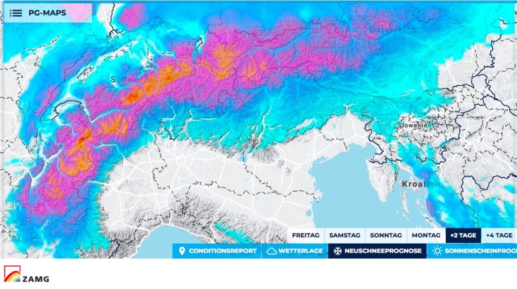
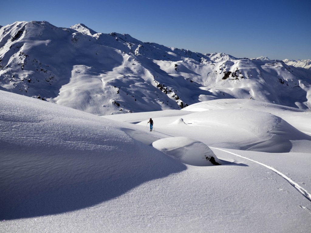
You rarely hear me say that it's somehow too much, but if the oracle is hiding behind the main Alpine ridge and the SLF considers danger level 5 possible for Monday, then it's probably a bit too much. We are already close to setting all-time snow depth records and it's possible that records from 1999 will be pulverized on Monday. And not at the end of February or beginning of March, when there is usually the most snow, but at the end of January.

Alert period and areas

The entire northern Alpine ridge from France to the Rax. It will probably only be apocalyptic (the core) from the Arlberg to the Hautes Alpes. The alert is valid until Monday evening.

Snowfall limit

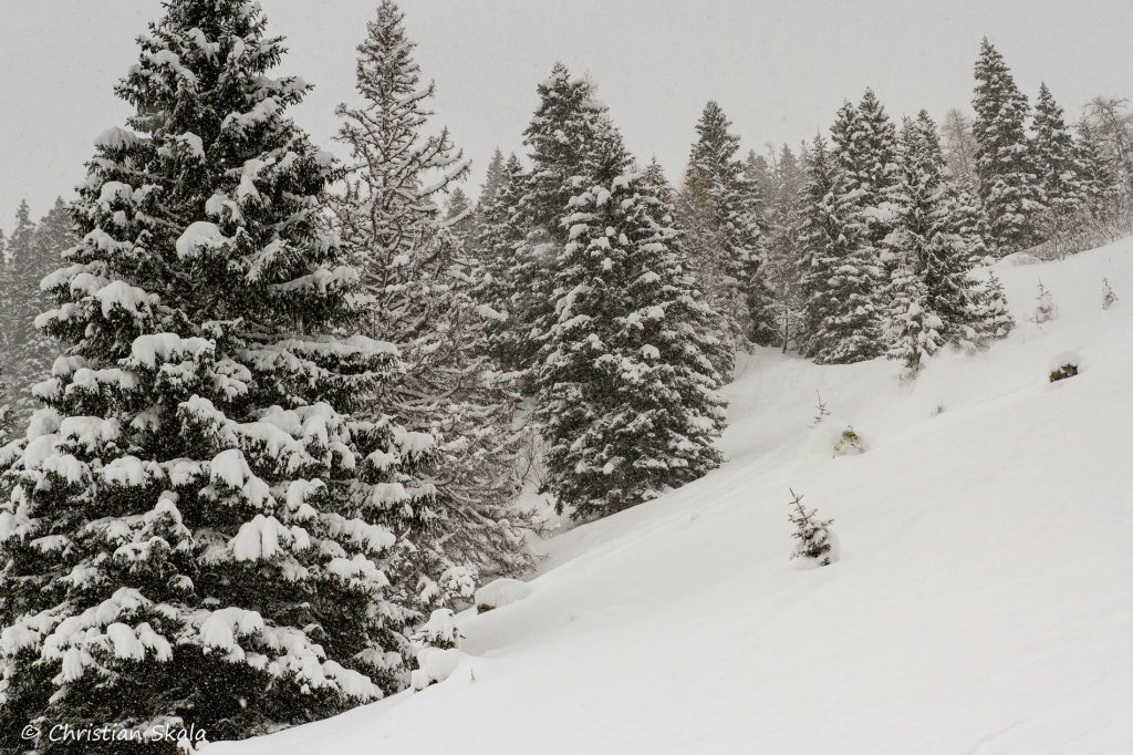
Ullr sticks to our motto 17/18 and rides a rollercoaster. Until Sunday in the powder area from Monday in the west rain up to above the tree line...

At the moment, the snow line is dropping everywhere. Tomorrow it will rise to 1200-1300m in the west of Switzerland and France, in the east and inner Alps it will remain lower.

Then it will drop again everywhere and rise again to 1500m in the west on Sunday afternoon. Monday it will rain there up to 2000m. In the south, east and inner alpine in eastern Switzerland there may still be snow from 1400-1700m.

Saturday and Sunday, the snow line will generally be around 200m lower in the east than in the west.

Wind

Only storms and no hurricanes, but it will push far into the Valais, Goms, Engadin and on or over the main ridge, as well as full on the Austrian glaciers.

The amounts

East of the Arlberg 60-100cm and in the core 100-150cm, whereby I think 200cm is possible in three days in congested areas. However, due to the rain on Monday, these amounts will only come from 1800m in the east and 2200m in the west.

Forecast snowfall totals for the next 2 days

Forecast snowfall totals for the next 2 days

PG Wetterservice

Where should I go?

Saturday-Sunday anywhere in the trees you trust, although Sunday will be pretty critical.

Monday in the bunker. Honestly, with a possible 5 and massive warming, I don't recommend skiing in the west.

In the eastern Alps possibly in high trees, but it's really difficult to say.

From Tuesday it should be dry and mild. Once the crowds have settled and the ski resorts reopen, you can see what it looks like from Wednesday.

Mid-term

Uncertain and rather warmer. But to be honest: a bit of peace and quiet after this week is also okay.

Powder to the people!

And please don't get into people's houses.

Stay safe.

Your oracle

This article has been automatically translated by DeepL with subsequent editing. If you notice any spelling or grammatical errors or if the translation has lost its meaning, please write an e-mail to the editors.

Show original (German)

Related articles

Comments