Skip to content

Cookies 🍪

This site uses cookies that need consent.

Learn more

Zur Powderguide-Startseite Zur Powderguide-Startseite

Language selection

Search PowderGuide

PowderAlerts

PowderAlert 16 2017/18 | The second prank

And the third follows immediately?

by Lars Oelmann 01/16/2018
There's not likely to be any sun in the near future, but there will be snow.

Sun is unlikely in the near future, but snow is.

Chris Skala
Let's get this out of the way: Yes, there will be a third alert for this storm sequence. For Part 1, I fled behind the main Alpine ridge because, as I wrote in the alert, it was supposed to push far over. It did, the rest of the storm behaved somewhat erratically due to the enormous high flow and apart from parts of the Valais, which get something with normal west or northwest winds, the larger amounts did not arrive in front of or behind the main ridge.

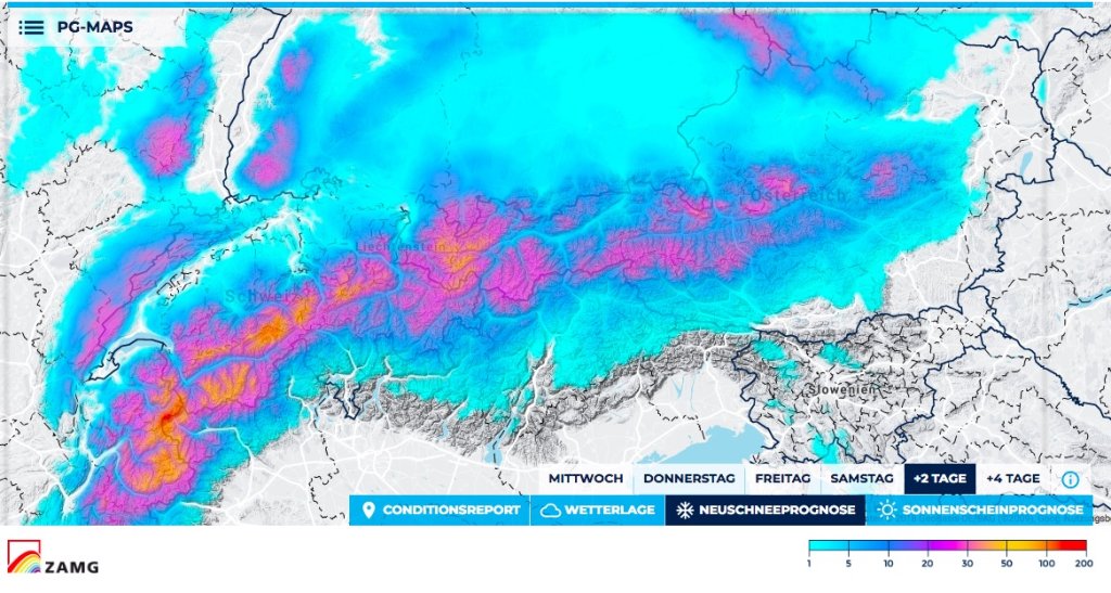
Ullr will continue to send massive wind and moisture against the Alps in Alert 2 of this series, so the distribution in Part 2 will be similar to Part 1. This may change in Part 3!

Alert period and areas

Northern France to the Rax, i.e. the entire northern Alpine arc and the adjacent main ridge (or behind it, i.e. almost in the south). Core from the Arlberg to France.

The alert is valid until Friday evening, because then number 3 will appear. There should then be a short break in precipitation from Friday to Saturday, whereby "break" means that it will only continue to snow lightly at night.

Wind

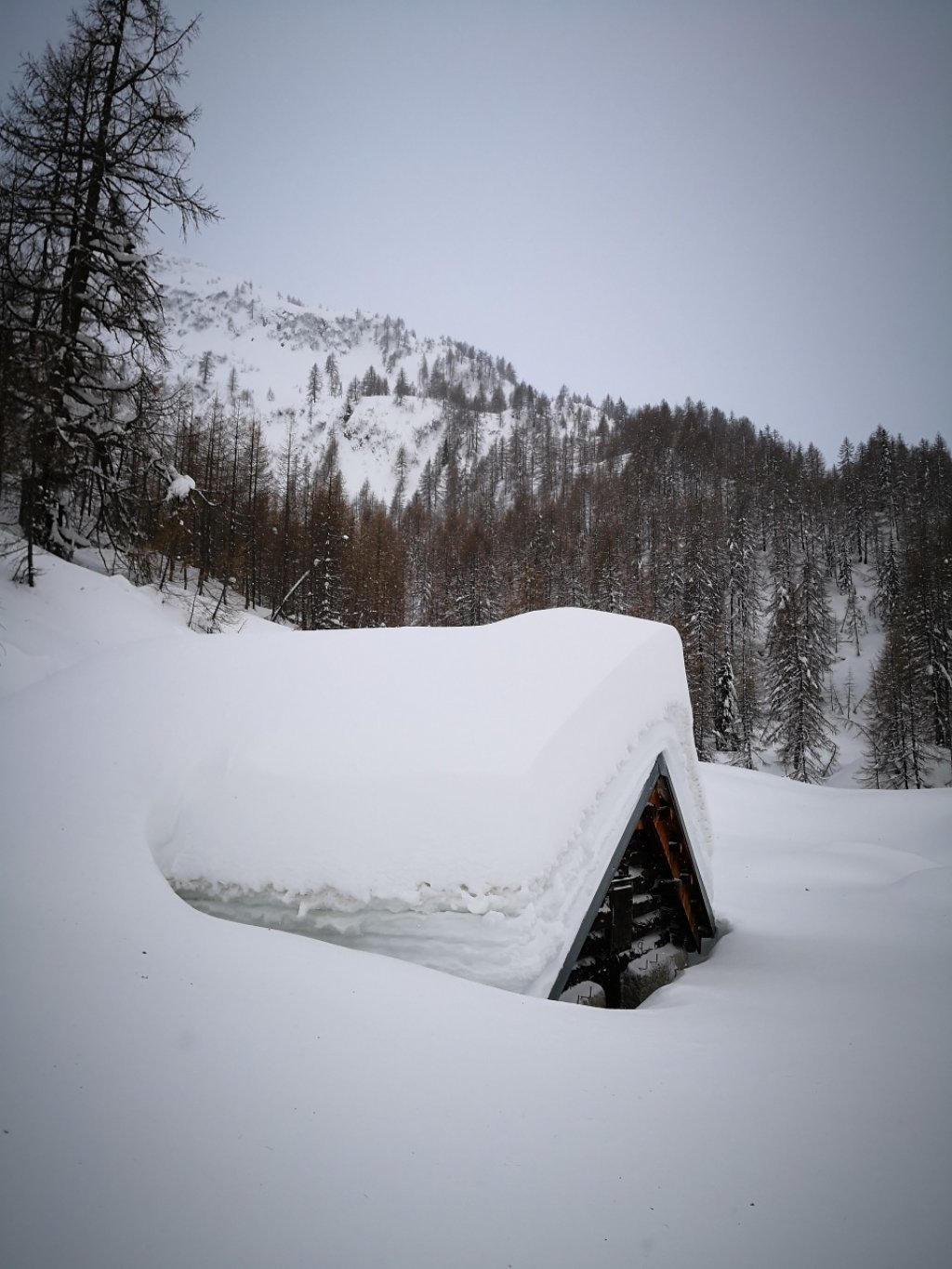
The usual. Storm and, depending on Ullr's taste or altitude, hurricane. It blows everything until God knows where. I hope you now have spots ready for this year's mega storms and the strange high-altitude current.

Snowfall limit

Was partly higher than expected at number 1. I think the hurricane sometimes creates strange snowflake effects.

This time it will also go up and down until tomorrow afternoon. From the very bottom, the snow line will rise to 1200m to possibly 1400m, it really shouldn't be any higher than that. It will warm up much later in the inner Alps and the snow line will go up less. By Friday, it will go down again everywhere.

The amounts

From the east to the Arlberg 30-50cm. In congested areas, 10cm more is also possible.

From the Arlberg to France it will be 50-80cm and possibly the meter will be cracked again in the far west in Valais or France.

Attention: The full amounts are more likely in the inner Alps up to the main ridge and in the classic traffic jam of the foothills of the Alps it will be even less!

Forecast snowfall totals for the next 2 days.

Forecast snowfall totals for the next 2 days

.

PG Wetterservice

Where should I go?

I would recommend wind-protected trees on the main ridge. Rather in Valais, France and Engadine than on the northern slope. In the east, remember that there will only be storms and almost no snow before Friday!

Mid-February

Another alert and then milder with a possible big flush or just dry warm. Anything from Sunday onwards is extremely uncertain though, so let's hope Ullr lets the snow cover get away.

Powder to the people!

Your oracle

This article has been automatically translated by DeepL with subsequent editing. If you notice any spelling or grammatical errors or if the translation has lost its meaning, please write an e-mail to the editors.

Show original (German)

Comments