Skip to content

Cookies 🍪

This site uses cookies that need consent.

Learn more

Zur Powderguide-Startseite Zur Powderguide-Startseite

Language selection

Search PowderGuide

news

OpenSlopeMap: Update 2017/18

Tour planning tool and new map features

by Peter Schnappauf 01/18/2018
The OpenSlopeMap project, founded by skiing software developers Peter Schnappauf and Reini Riedl, offers freely accessible online slope maps for the Alpine region on a non-commercial basis. There are some interesting new features for the new season:

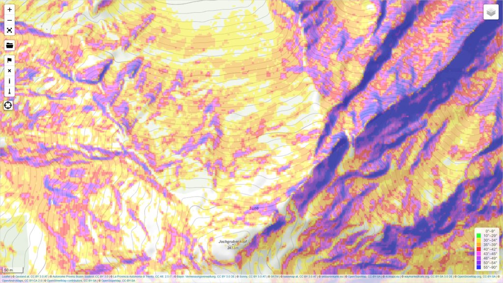
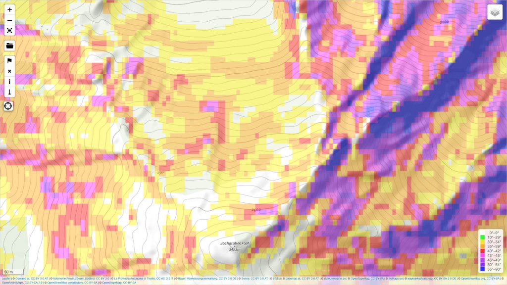
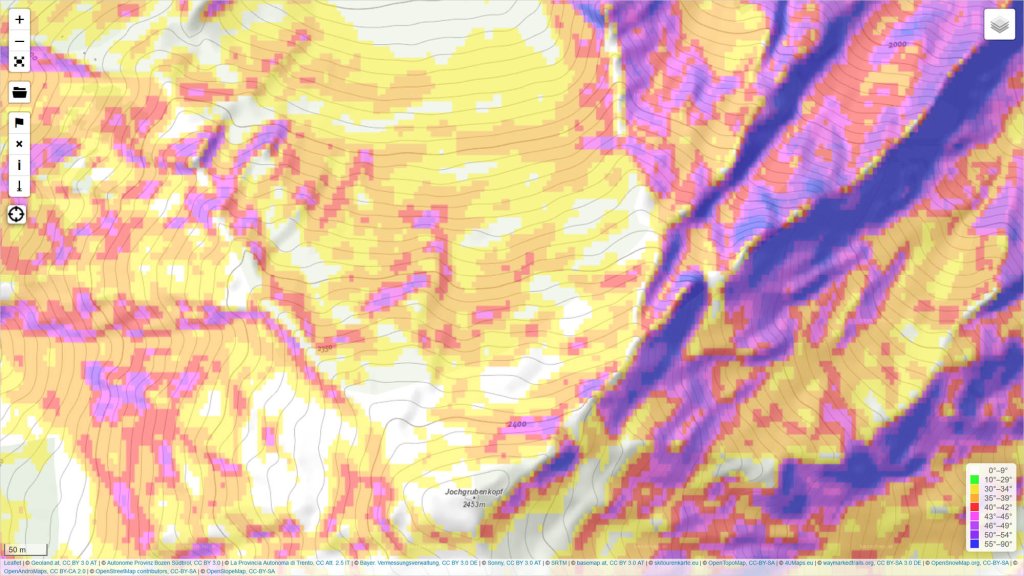
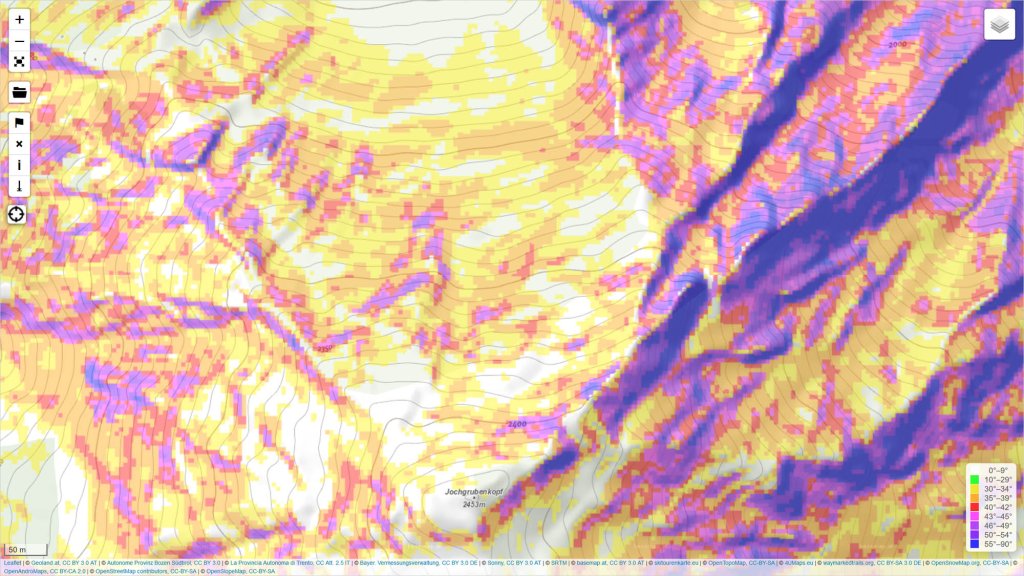
Over the past summer, we were not (only) lazy, but also took care of the further development of the OpenSlopeMap. The focus of our activities was on further optimizing the slope maps.

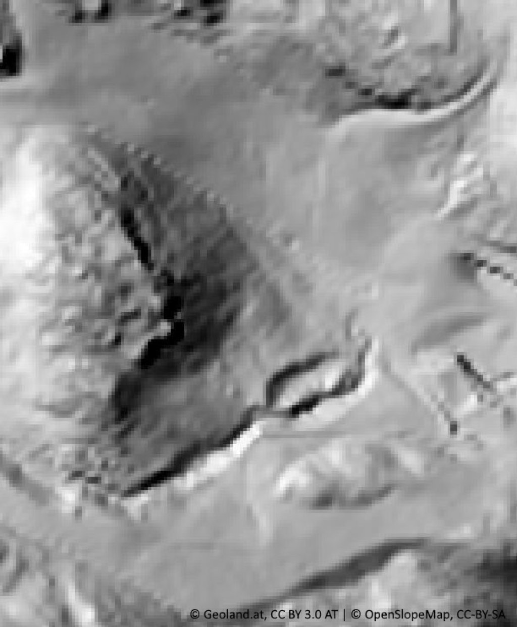
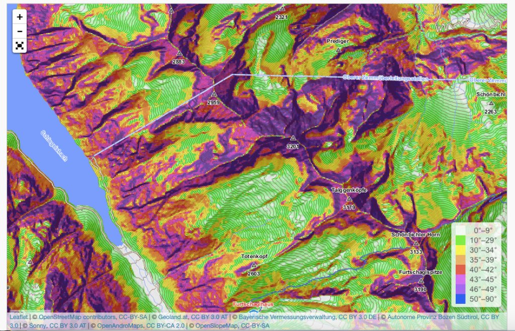
Digital terrain models (DTM) with an accuracy of 5m are now freely available for the provinces of Tyrol, Salzburg, Vorarlberg and South Tyrol. This makes it possible to create slope maps with a correspondingly higher resolution for these countries. Based on this data, we were already able to provide the "OpenSlopeMap overlay" and the "OpenSlopeMap classic" map in the "High Resolution" or "HR" version a few weeks ago.

Thanks to Reinhold Schnizer, a GIS expert who actively joined the OpenSlopeMap project in 2017, it was also possible to further process the 5m DEMs mentioned above using an interpolation process. Based on these interpolated 5m-DGMs, we have now been able to create a more accurate overlay slope map. We call this UltraHigh Resolution (UHR) map for short.

Of course, you can and should critically examine the question of whether you really need slope gradient information at this level of detail and whether this information is still useful for avalanche risk management applications. As we cannot and do not want to decide this ourselves, we have simply made all our results available with the various resolutions. Ultimately, we leave it up to the user to decide what conclusions they want to draw from the sum of this information.

In any case, it can be very interesting either way to get an impression of what the terrain surface under the snowpack is actually like. Examples of the different resolutions and the interpolation of the slope gradient and shading maps can be found below in the gallery.

Another interesting new feature is that the online map on OpenSlopeMap.org has now been expanded to include a small route planning tool. You can now plan and draw your own routes and then download them as gpx tracks. In addition, your own existing gpx tracks can also be displayed on the map.

Other new features and improvements include:

  • The colors of the slope classes have been optimized in terms of color and contrast.

  • The online map now has more useful layers to choose from (shading, contour lines, etc.)

  • and many other small things that we have taken care of.

We will, of course, stay on the ball and try to make the OpenSlopeMap even better this year!

Here you can find the original article about the OpenSlopeMap project with more information:

.

Photo gallery

This article has been automatically translated by DeepL with subsequent editing. If you notice any spelling or grammatical errors or if the translation has lost its meaning, please write an e-mail to the editors.

Show original (German)

Related articles

Comments