Skip to content

Cookies 🍪

This site uses cookies that need consent.

Learn more

Zur Powderguide-Startseite Zur Powderguide-Startseite

Language selection

Search PowderGuide

WeatherBlogs

WeatherBlog 6 2021/22 | Sun, sun, sun, fog

A week full of high pressure

by Lea Hartl 12/15/2021
As was already foreseeable last week, a powerful area of high pressure is currently building up over Central Europe. The high pressure will accompany us until further notice and unfortunately there is no snow in sight. The high pressure is blocking the current over the Atlantic and deflecting the frontal zone to the north, so that it is a long way off for us and does not affect our weather in a wintry way.

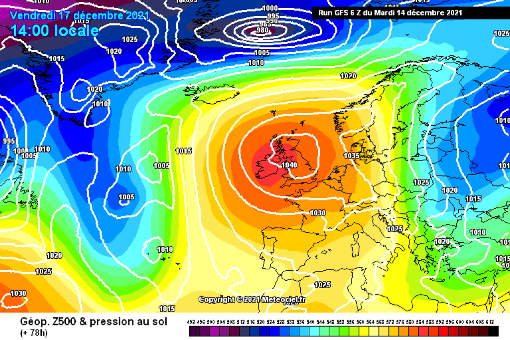
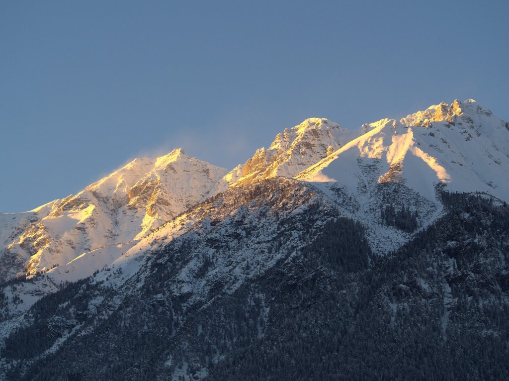
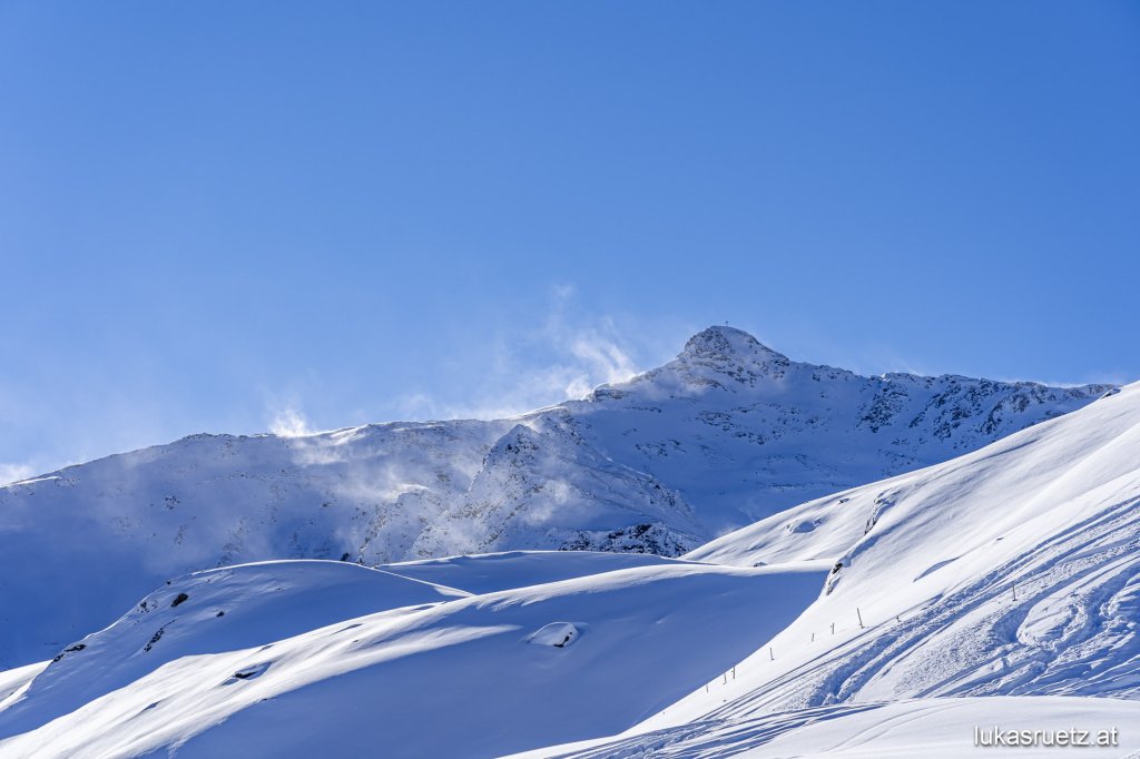
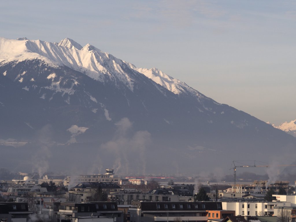
This more or less says everything about the current situation and the outlook for the next few days. Omegas are notoriously stubborn. No significant change in the weather character is expected up to and including the weekend: lots of sunshine at moderate temperatures at the top, with fog or high mist in the valleys and in the foothills of the Alps. A west-east temperature gradient is to be expected. The western Alps are closer to the core of the high - here it will be mild at high altitudes and quite fresh in the valleys with strong inversions. Cold air masses lie to the east of the high, which will bring cooler temperatures and more clouds to the eastern edge of the Alps. The further east, the colder it is and the more likely it is that the sunshine will be clouded over the next few days.

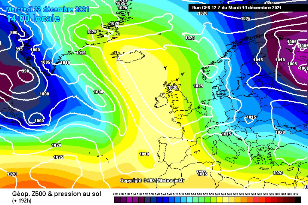
In the medium term, i.e. into the Christmas week, the core of the high will shift slightly to the west, i.e. in the opposite direction to the usual direction. This will allow more colder air to flow from the east towards the Alps in the forecast. Where there is still a substantial blanket of snow, there is a good chance that it will still be there at Christmas. There is no new precipitation in sight, at least not in quantities that are helpful for skiing. In the east, there may be a few flakes here and there from the high fog.

The weather is and will therefore remain relatively boring for the time being, at least from a PowderGuide perspective. If you are looking for a ray of hope, you can concentrate on the fact that there is no heat everywhere in addition to the current dryness. Piste or park riding in the sun will certainly be fine in the near future. As will touring, as long as you can find options that make sense given the unappealing snowpack conditions in many places.

WeatherBlogs
presented by

Miscellaneous

Because of the high pressure boredom, let's go in search of other more or less interesting weather news! The WMO (World Meteorological Organization) has now officially recognized a temperature record set in the Arctic last June. At a station in Siberia that has been in operation since 1885, 38°C was measured on June 20, 2020, which is the record for anything north of the Arctic Circle. In a relatively lengthy process, the WMO checks what instruments are used to measure such records and under what circumstances to ensure that the values are comparable and reliable and that someone is not, for example, measuring in the living room next to the heating.

The ZAMG reports that the chance of a white Christmas in Austria has roughly halved in recent decades, at least at low altitudes. Precipitation is more frequent than rain due to the warmer temperatures. The evaluation is based on a comparison of the climate reference periods 1961-1990 and 1991-2020. In the 1960s, there were some fairly cold Decembers, which is also reflected in the statistics alongside the overarching climatic trend towards warmer temperatures. This example also clearly shows how the understanding of "normal" in both the everyday and statistical sense changes when the reference periods are changed. All data that refers to a deviation from the mean, be it temperature, precipitation or any other parameter, refers to a specific "normal" - usually the mean value of a thirty-year reference period. Since this year, the ZAMG refers to 1991-2020, before that it was 1981-2010, which of course also changes the stated deviations. Especially if you want to compare deviations, it is therefore important to know which period they refer to, otherwise the comparison is not meaningful.

The snow depth on the Pitztal Glacier, which we are observing intensively this season, is currently about as normal (in relation to the duration of the time series) as you can expect from snow depths....

Photo gallery

This article has been automatically translated by DeepL with subsequent editing. If you notice any spelling or grammatical errors or if the translation has lost its meaning, please write an e-mail to the editors.

Show original (German)

Related articles

Comments

WeatherBlogs
presented by