Skip to content

Cookies 🍪

This site uses cookies that need consent.

Learn more

Zur Powderguide-Startseite Zur Powderguide-Startseite

Language selection

Search PowderGuide

WeatherBlogs

WeatherBlog 4 2018/19 | West slide and north thaw hope

Basebuilding in the high mountains and interesting weekend views

by Lea Hartl 12/04/2018
The Alps are caught in a strong westerly flow, which is currently causing very unsettled weather and mild temperatures. There are signs of a cold air advance for the coming weekend, which could bring heavy snowfall down to low altitudes on the northern slopes of the Alps.

Current situation

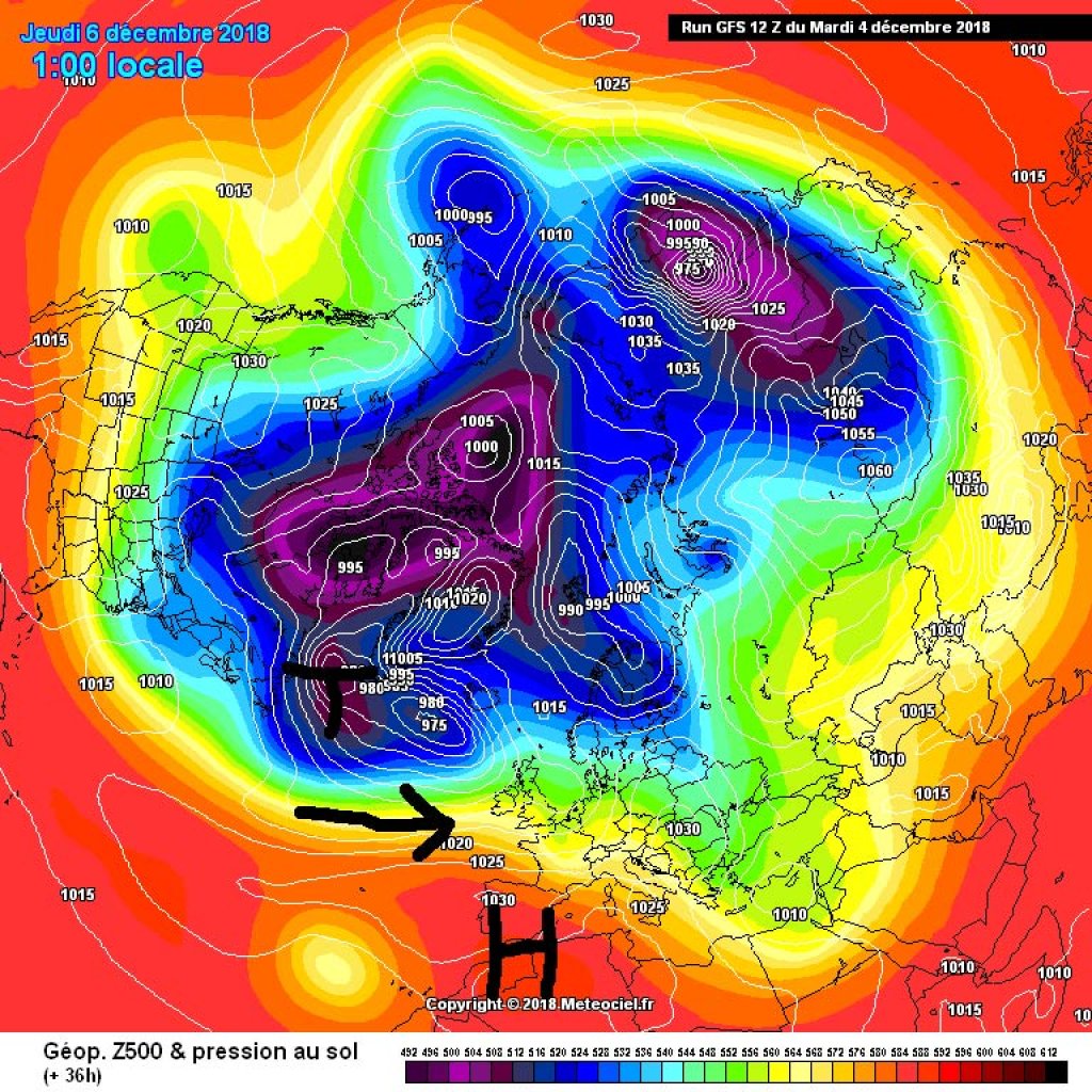
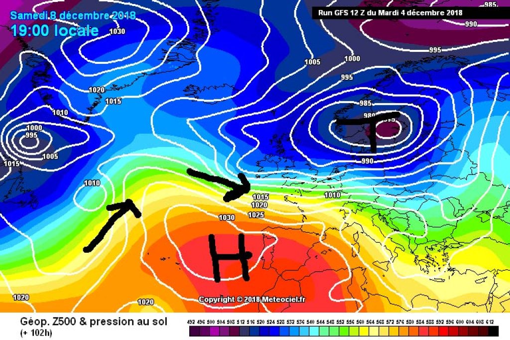
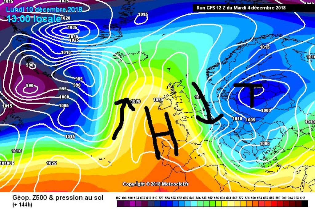
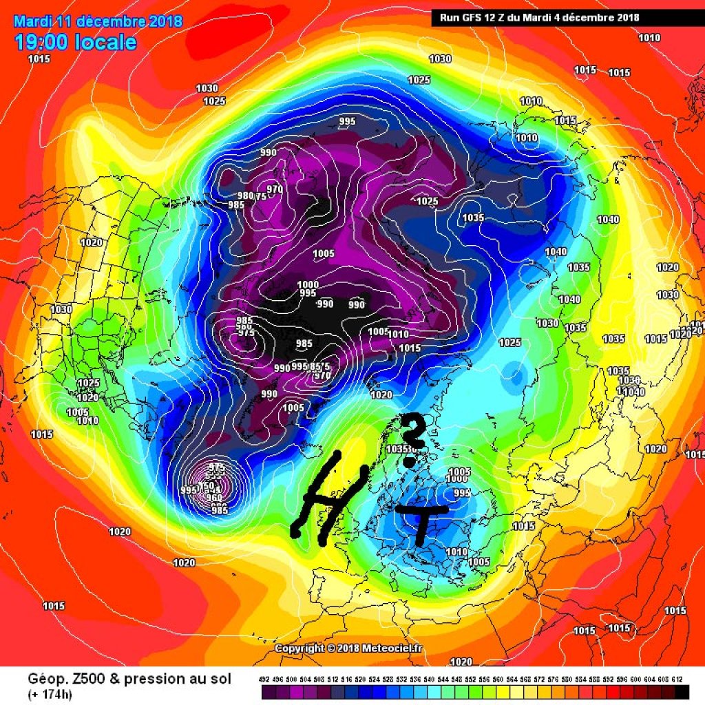
The Atlantic low mentioned last week was the starting signal for our current westerly weather: cold air flowing into the North Atlantic has stimulated the development of low pressure there, the continental high has retreated to the east and the perpetual blocking layers with a meridional flow pattern have been replaced by a dynamic, zonal west or north-west slide. The result is changeable, mild weather with a mixture of excessively warm precipitation and gaps in the sun, also known as "Sauwetter, wo bleibt der Winter?"

Despite the rainy valleys, it is worth mentioning that the base is definitely growing at higher altitudes. In combination with the strong winds of the last few days, the wet fresh snow on the Swiss main ridge at the beginning of the week has caused a four above 2400m and the avalanche situation remains tense.

According to the SLF, the amount of fresh snow from Sunday night to Tuesday afternoon: westernmost Lower Valais, northern Valais, central Upper Valais, Goms, Glarus Alps: 60 to 90 cm. Rest of southern Valais, rest of northern Alps, rest of Gotthard region, northern Grisons, northern Lower Engadine: 30 to 60 cm. Rest of northern Ticino, central Grisons without Gotthard area, southern Lower Engadine, Münstertal: 15 to 30 cm.

WeatherBlogs
presented by

Outlook

Today, Wednesday, it will remain mostly dry despite quite dense clouds. It will become a little milder from the west with increasingly strong winds, also from the west. Thursday will be similar, with some precipitation in the northwest. Friday will then be briefly sunnier, especially in the western Alps, before it clouds up again everywhere towards the evening.

In a wintry sense, the development at the weekend will be interesting: The Azores High is preparing to interrupt our westerly slide, or rather give it a good kink, and is stretching northwards. The slide becomes a north-south wave track. Looking downstream from the high, the wave heads south and brings cold air from the north to Central Europe and the Alpine region.

The first wave of cold air is likely to arrive on Saturday, followed by a warm front on Sunday and an attractive option for northern thaws at the beginning of next week. The southern Alps are likely to be pretty empty-handed this time, with more relaxed northerly foehn weather. The northern Alps can look forward to further details from the PG oracle.

Photo gallery

This article has been automatically translated by DeepL with subsequent editing. If you notice any spelling or grammatical errors or if the translation has lost its meaning, please write an e-mail to the editors.

Show original (German)

Related articles

Comments

WeatherBlogs
presented by