Skip to content

Cookies 🍪

This site uses cookies that need consent.

Learn more

Zur Powderguide-Startseite Zur Powderguide-Startseite

Language selection

Search PowderGuide

WeatherBlogs

WeatherBlog 18 2016/17 | Alert details

Outlook: constant unstable

by Lea Hartl 02/28/2017
At the meteorological start of spring, it's getting wintry on the southern slopes of the Alps. The rapid change of mild, partly foehn-like weather on the front of the trough, followed by the fronts last night and today during the course of the day, is causing a turbulent PowderAlert with interesting amounts of fresh snow, but also strong storms.

Current situation and outlook

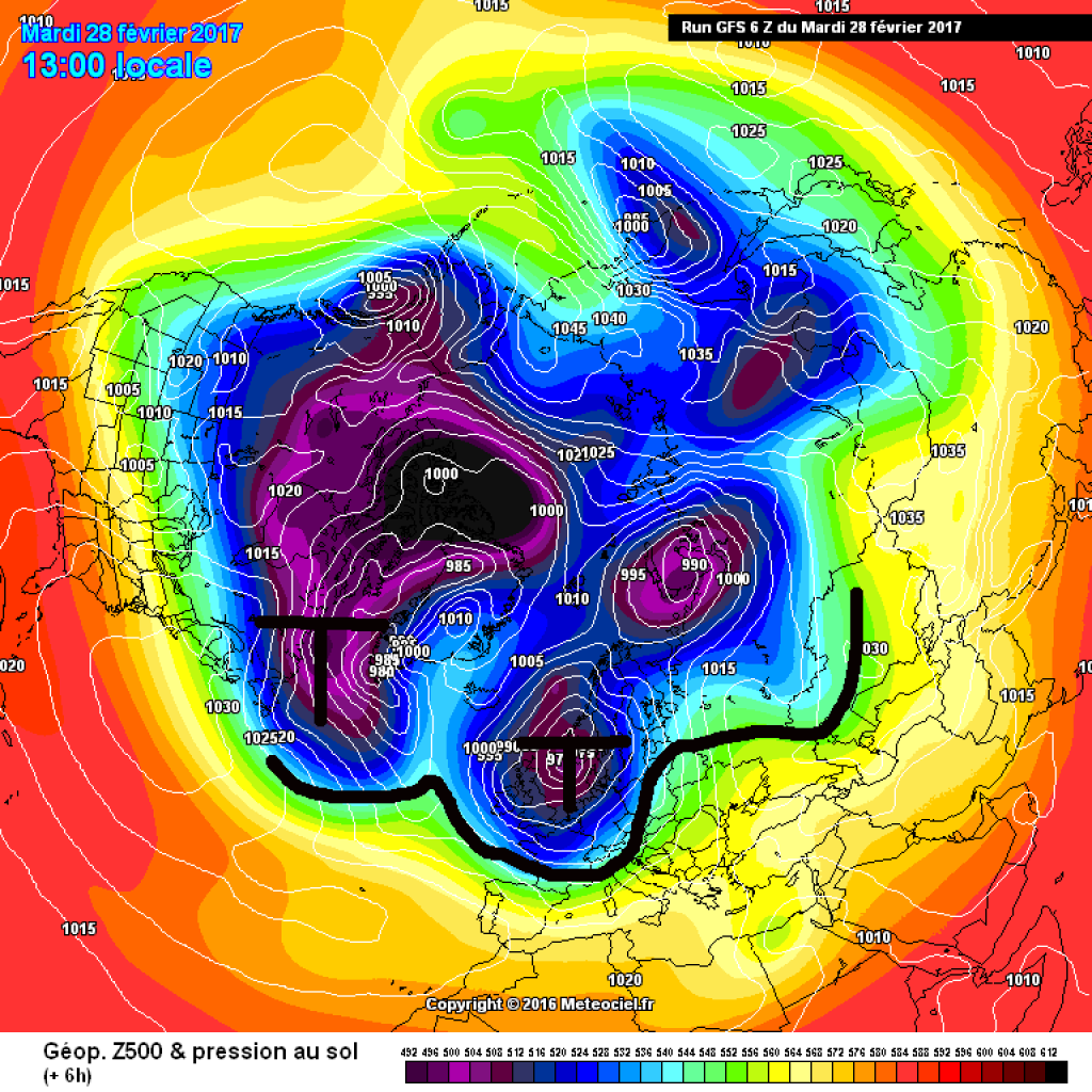
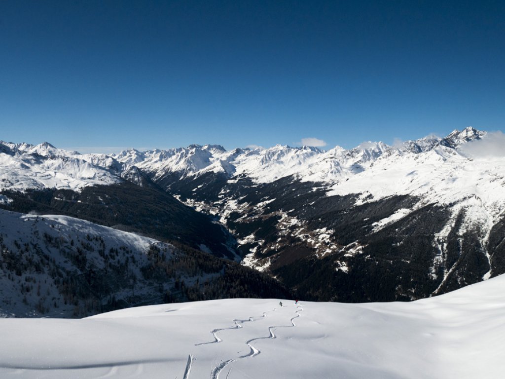
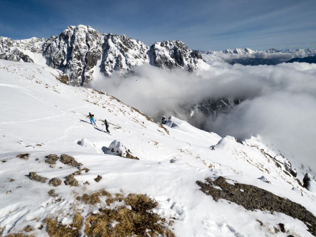
As usual, we'll leave more details on the amount of new snow from the last cold front and the Italian low that will follow with a bit of luck to PowderAlert. The weather in the Alpine region is currently dominated by a low-pressure complex over Scandinavia, which is driving disturbances past us in several waves. In addition to storms and fresh snow, these may also bring sleet showers or even winter thunderstorms.

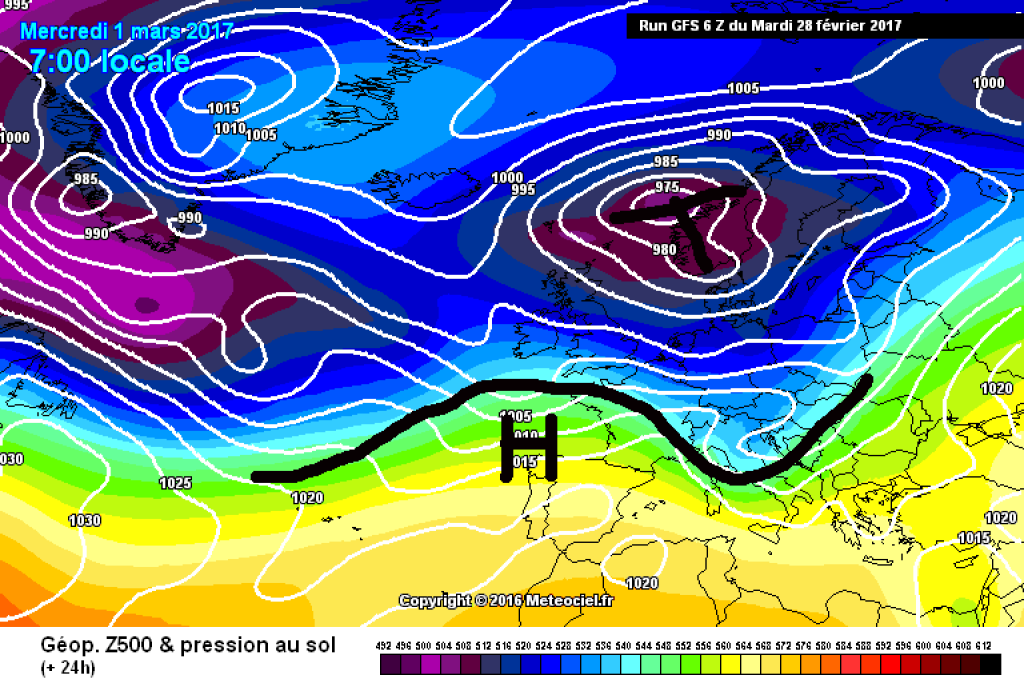
The trough and its fronts are likely to take their leave everywhere during Thursday and there will be a short breather before the current turns SW again on Friday and the next trough approaches from the west. In the north, the Föhn will kick in, while in the south there will be increasing dust clouds and precipitation.

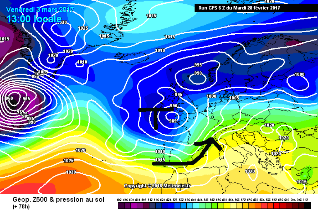
A drip process is likely to develop from the trough that moves in over the weekend: a small blob will split off from the large trough and slide into the Mediterranean, where it will turn into an Italian low. From today's perspective, the focus of the precipitation will be in the western southern Alps on Saturday and then move eastwards. As is often the case, the exact development is still uncertain. Mild and foehn-like in the north. We suspect that the PowderAlert will call again before the weekend and leave everything else to it.

If you look beyond the European section of the map, you will find a strongly pronounced low-pressure complex filled with cold polar air over the north-east of the American continent and the north-west Atlantic. In combination with the comparatively warm Atlantic water, new lows are constantly developing from this, which are sliding eastwards in our direction in rapid succession - as you can see from the varied weather these days.

In the crystal ball area, there are signs of a calmer stretch of weather next week, but this is the usual speculation.

WeatherBlogs
presented by

Winter résumé

No, of course winter is not over yet. Spring is almost always the better winter for skiing and, above all, touring. However, meteorologists do not focus on skiing conditions and take stock of the past three months of meteorological winter (December, January, February) on the first of March. January was very cold in many places due to the long-lasting, cold radiation weather and the tough inversions. December and February were on the mild side overall. In general, it tended to be colder in the lowlands (inversions) and warmer at higher altitudes in relation to the long-term average.

The fact that the winter balance of precipitation across the entire Alpine region is quite negative should come as no surprise to anyone. In Austria, the winter of 2016/17 was the driest of the last 20 years. Less snow fell than average in all three months, with December in particular being extremely dry. At least in the Eastern Alps, significantly less snow fell on the southern side of the Alps than in the north. In some valleys in the northern Alps there was snow for quite a long time, even at low altitudes: the negative deviation of the new snow total in Innsbruck, for example, was only 5% Due to the snowfall in cold temperatures in January, it not only snowed down to the valley, but this snow also remained there for a long time due to inversion. So while it wasn't necessarily a "bad" winter in the valleys in the north, the situation was very different further up, as the observer measurements of the snow depth on the Nordkette mountain range make clear:

Photo gallery

This article has been automatically translated by DeepL with subsequent editing. If you notice any spelling or grammatical errors or if the translation has lost its meaning, please write an e-mail to the editors.

Show original (German)

Related articles

Comments

WeatherBlogs
presented by