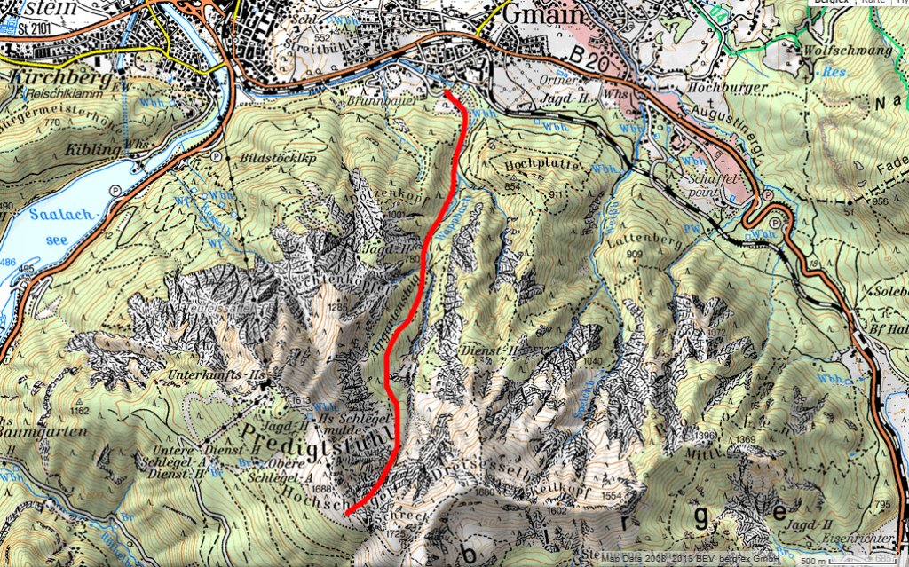
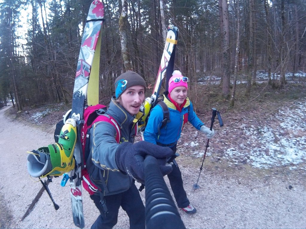
Skip to content

Cookies 🍪

This site uses cookies that need consent.

Learn more

Zur Powderguide-Startseite Zur Powderguide-Startseite

Language selection

Search PowderGuide

TouringTips

Freeride tour of the week | Alpgartenrinne

Steep gully over Bad Reichenhall

by Alexander Braschel 02/01/2015
In the Lattengebirge mountains, just a 20-minute drive from Salzburg, there are three steep gullies that could not be more beautiful. Rarely hiked, but very worthwhile, the Alpgartenrinne catches the eye even from Salzburg!

Ascent

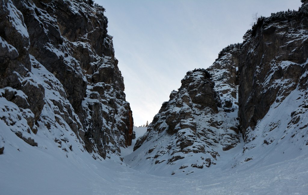
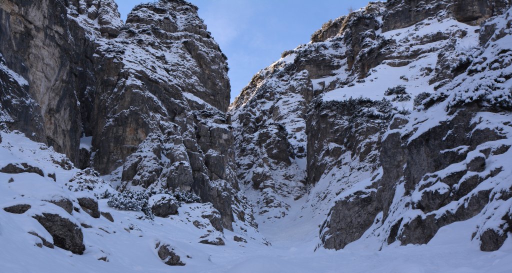
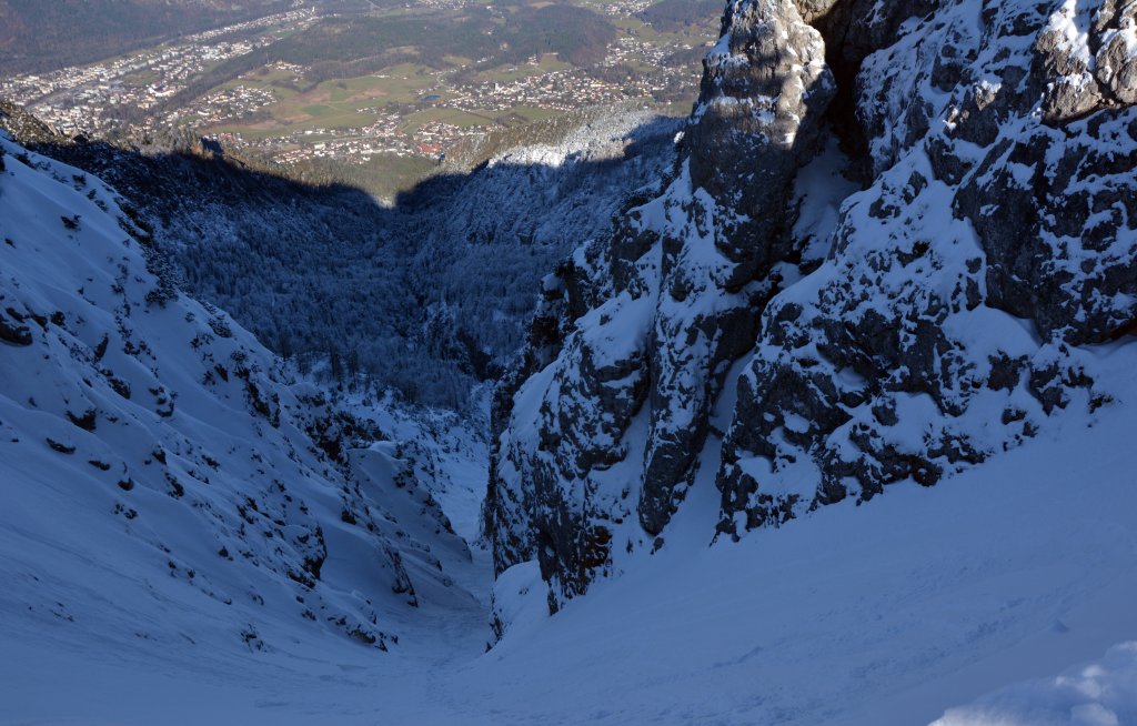
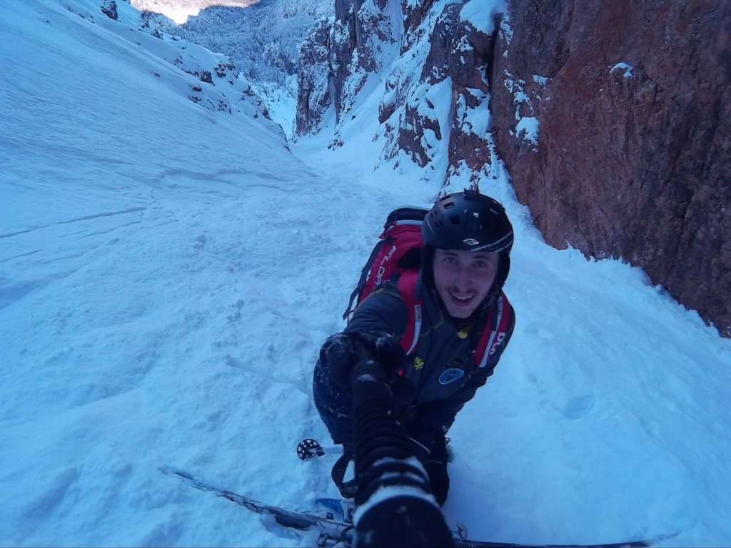
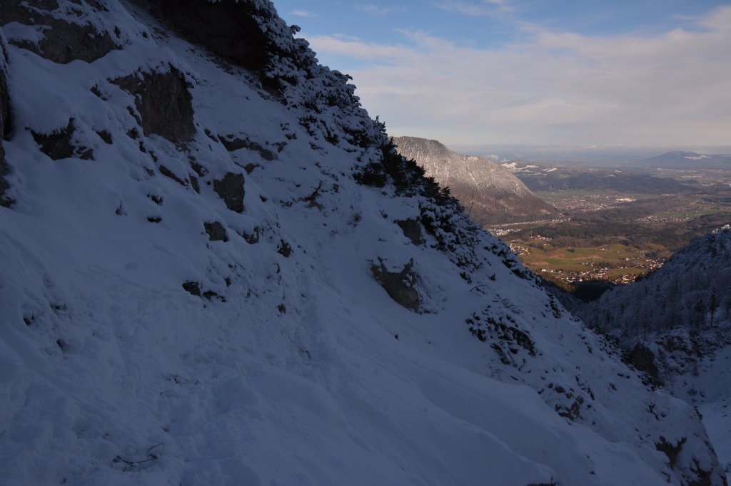
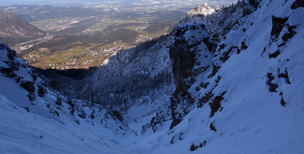
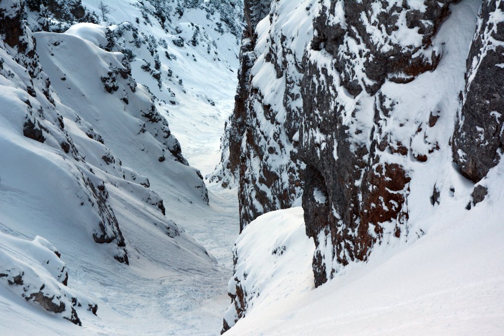
From the parking lot at the hiking center (570 m), follow the gravel road for approx. 500 m. In a left-hand bend, the signposted path branches off to the Alpgartensteig. Follow this until it becomes steeper at an altitude of around 1230 m and the actual trail begins. At the next hairpin bend (1250 m), follow the path, crossing to the left along a wire rope, straight over some mountain pines into the already clearly visible gully. Finding the way out of the gully is very easy. Depending on the snow conditions, you often have to carry your skis up to approx. 900 m.
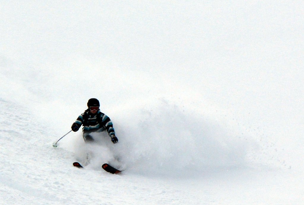
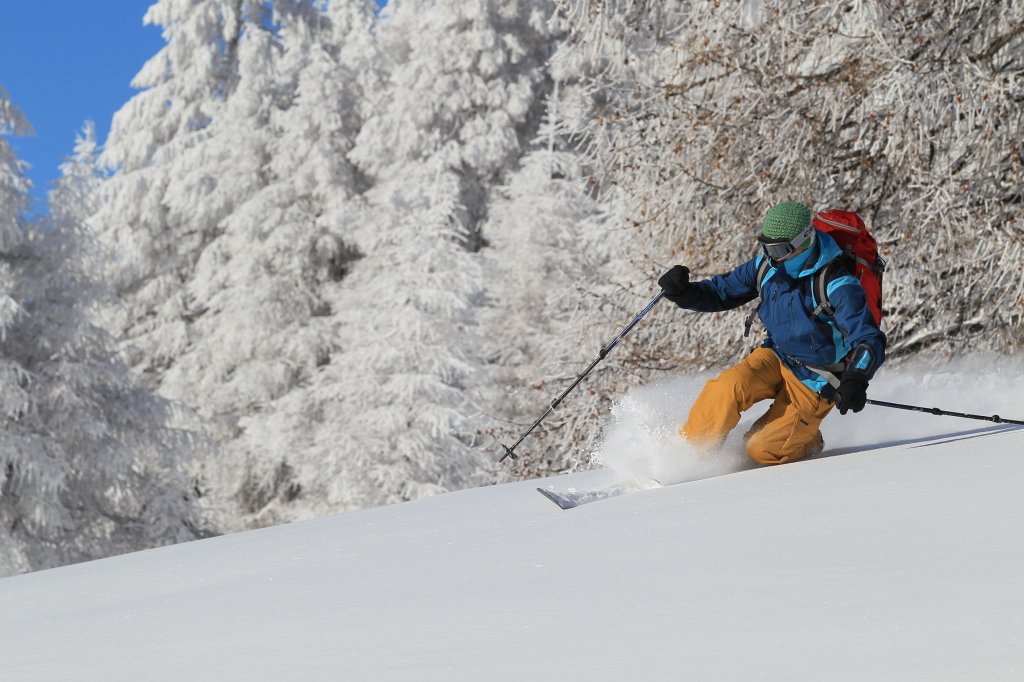
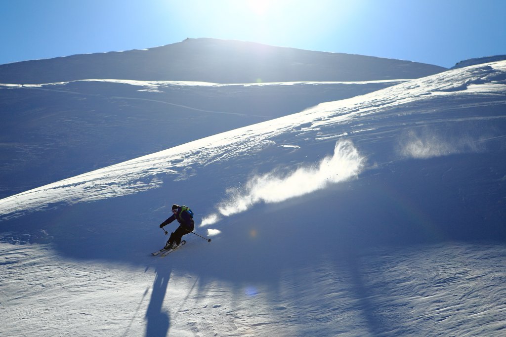
Descent

Either as in the ascent through the Alpgartenrinne (approx. 50 degrees at the drop-in) or a few vertical meters along the ridge to the northwest to the Reichenhaller-Rinne. Another option is the Schlegelrinne, which is located a few meters further northwest (drop-in just before the summit cross). The Reichenhaller Rinne is somewhat more challenging than the Alpgartenrinne because it is over 50 degrees steep in places. The Schlegelrinne, on the other hand, is around 45 degrees, but generally requires more snow than the Alpgartenrinne.
The Schlegelrinne and Reichenhaller Rinne lead into the Alpgartenrinne.


Tip: From the Predigtstuhlbahn lift, skirt the summit of the Predigstuhl on the right to reach the Schlegelmulde. From here, follow the slope up to the Schlegel. From here, follow the ridge to the selected gully.
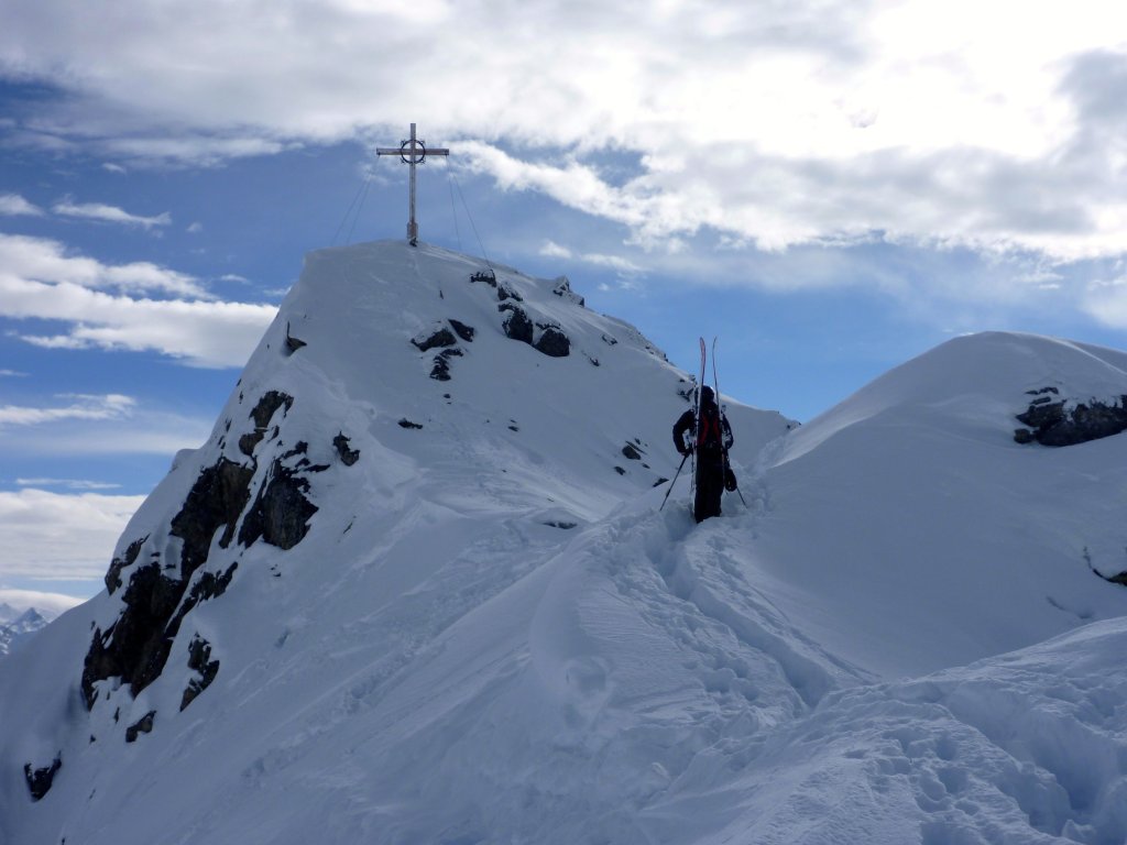
Attention! We strongly advise against ascending from the gondola and descending through the gully without knowledge of the terrain! If you leave the gully too late, you will inevitably end up over a cliff. Finding your way is very difficult (even in the forest) without tracks!

TouringTips
presented by

Information

Difficulty: ****
Special dangers: The Alpgartenrinne is only around three meters wide at one point. In addition, a fall in some places can have serious consequences!
It goes without saying that the tour should only be undertaken in very safe avalanche conditions!
Special equipment: Ice axe and possibly crampons
Exposure: North
Altitude start and finish: 570 m
Altitude metres uphill and downhill: approx. 1160 m
Map: AV map BY20 (1:25000)
Duration: Depending on how far you have to carry your skis, approx. 5 to 8 hours.
How to get there: By car from Salzburg, leave the highway at the Wals/Lofer exit. Follow the main road for approx. 1.7 km and turn right through Großgmain (L114) to Bayrischgmain (Großgmainer Straße). Turn right at the crossroads and after approx. 400 m turn left into Lattenbergstraße. After another 300 m turn right into Alpentalstraße. Follow this road to the parking lot at the hiking center.

Photo gallery

This article has been automatically translated by DeepL with subsequent editing. If you notice any spelling or grammatical errors or if the translation has lost its meaning, please write an e-mail to the editors.

Show original (German)

Related articles

Comments

TouringTips
presented by