This ski tour is located in the north-west of Andorra, Pyrenees and is a classic among local ski tourers, as the summit is one of the highest in the region. The summit should only be attempted in safe conditions. Safe hairpin bends are a must, and crampons are recommended in icy conditions.
Ascent
The starting point (approx. 1850 m) is on the CG-3 road between el Sarrat and the Vallnord Arcalis ski area. Shortly after 2 smaller tunnels, there is a small parking bay for approx. 4 cars on the right-hand side of the road. Parking on the hard shoulder is also possible. (The parking option is marked with a P on the map, tour A).
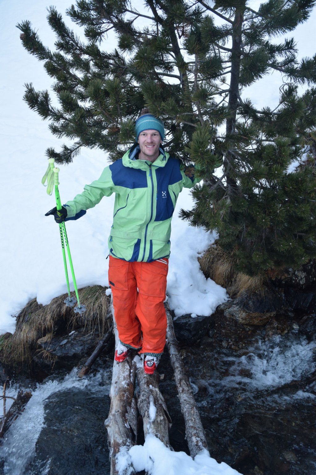
Follow a cross-country ski trail for the first few meters up to a small hut (Castellar). Here it is advisable to stay on the left-hand side of the stream and avoid the stream bed as far as possible. A direct ascent through the stream bed is more exciting, but also more arduous (you will be rewarded with exciting stream crossings and a small waterfall). After about 150 m you reach a small plateau with some hiking signs. Now you have the choice between a steep west-facing slope with a bit of a northerly orientation or a south-west-facing slope (gully-like), which is somewhat steeper. The latter is also the normal route of the descent.
Neither way, you will not be able to avoid hairpin bends; the terrain only becomes more comfortable again at 2300 m and is inviting for a rest.
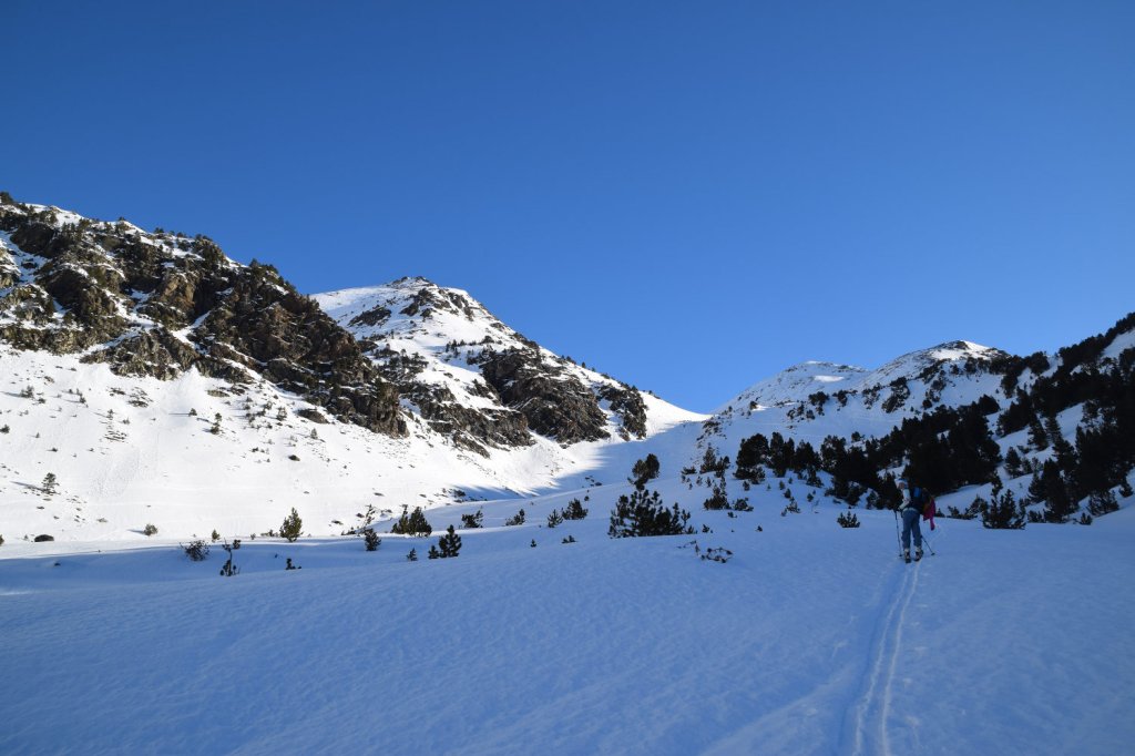
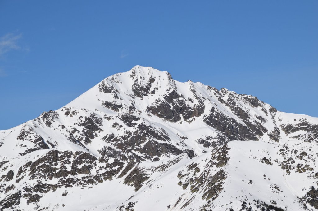
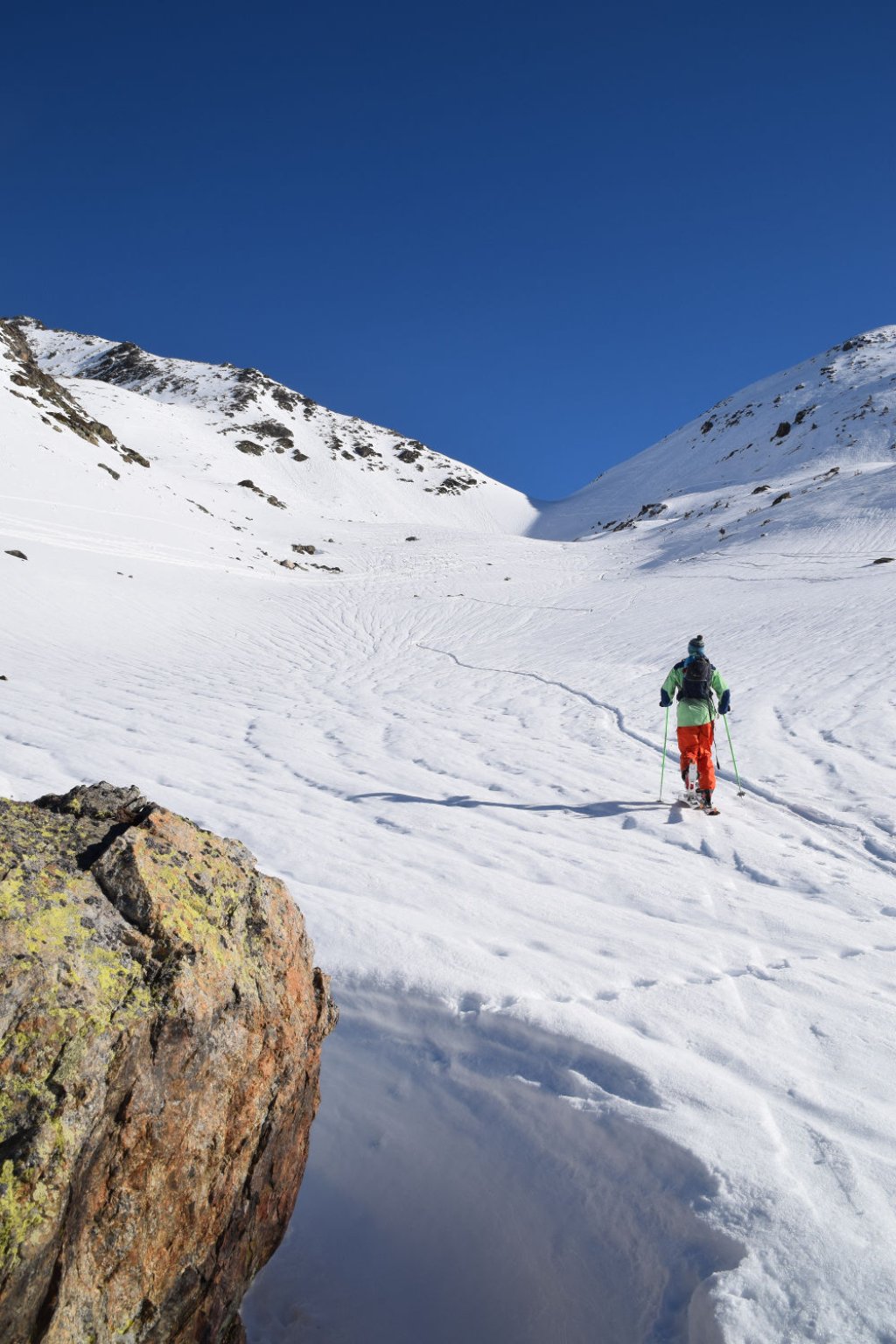
Continue following the stream bed towards Portella de Rialb (a ridge at an altitude of 2509 m), tackling a steep south-facing slope at around 2400 m, again with numerous hairpin bends. In spring, you shouldn't be too late here and you should also pack sun cream... The route then follows a wide arc northwards to the end of a bowl. Here it goes to the ridge on the left side with 3 to 4 hairpin bends (50 hm certainly 35 ° steep). Now you already have the Pic de Font Blanca in sight. The last section goes over the ridge. Safe hairpin bends are necessary here, as it drops steeply in places on the right.
About 20 m before the summit, it is a good idea to make a ski depot and continue on foot. If the snow conditions are good, you can also ski to the summit.
Descent
The descent follows the ascent trail. Alternatively, you can ski down the steep south-west slope (up to 40° in places, depending on the route chosen) into the Coma del Mig valley. Ascent tracks have also been spotted here as a possible ascent option.

Information
Difficulty: *** 3 stars
Special dangers: Danger of falling in the summit area
Average steepness: < 20 °, max. Slope > 35°, descent also possible steeper in safe conditions
Exposure: west to south
Start: 1850 m
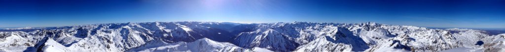
Destination: 2900 m
Meters in altitude uphill and downhill: 1050
Duration: 4 hrs
Best time of year: January - April
How to get there: from Andorra del Vella follow main road towards Vallnord ski area, Arcalis. Ordino - el Serrat - el Tamany (1 km before the parking lot of the ski resort at km 21)
Map: Map of Andorra available in 1:25000, but not very detailed