Where devils and demons wreak havoc in the icy expanses, deep in the crevasses, there is nothing to laugh about. At least that's how an old legend from Les Diablerets tells it, according to which the devil himself turned the blossoming alpine meadows of Tsanfleuron into a lifeless icy desert after a gruesome act by a renegade shepherd.
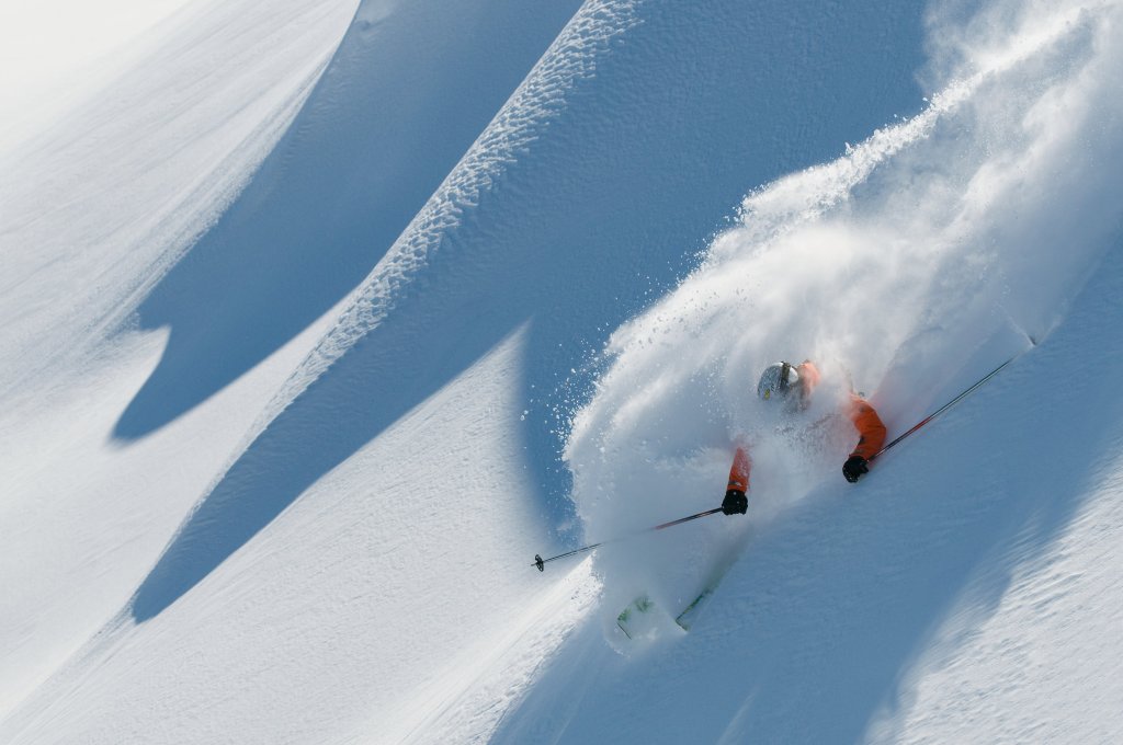
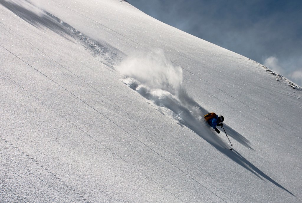
Today, the flat glacier slopes of the Glacier de Tsanfleuron, dotted with house-high jumps, are home to hundreds of board acrobats in the freestyle park. For experienced freeriders, there are attractive, albeit rather challenging, sneak routes through the extensive labyrinth of rock faces and steps, glaciers and couloirs. In good snow conditions, one of these freeride tours leads from the 3209 m high Sommet des Diablerets over the hanging terrace of the Glacier de Prapio down a whopping 2000 vertical meters to the village of Les Diablerets.
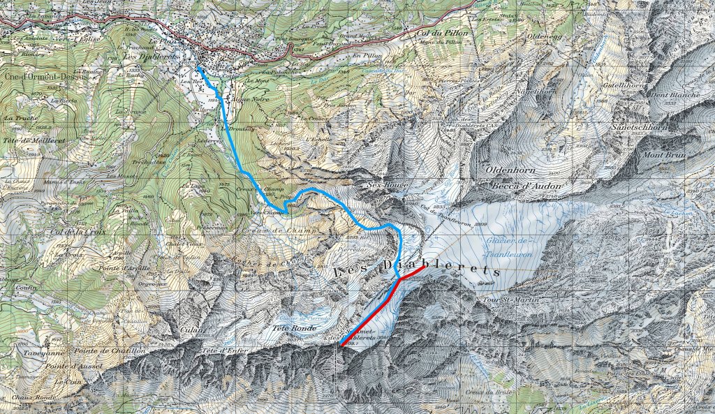
Ascent
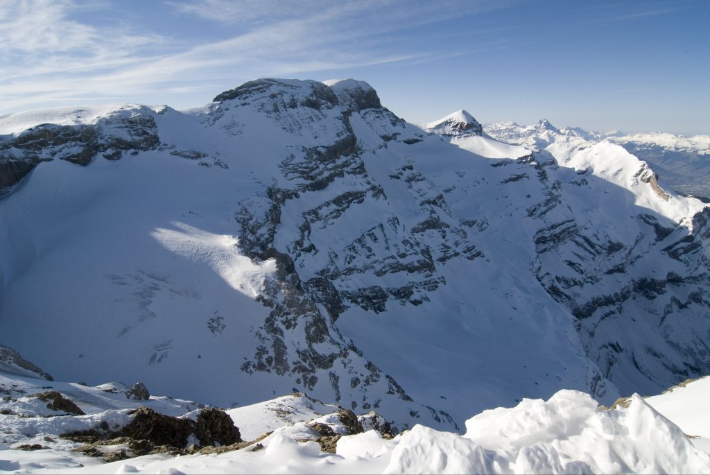
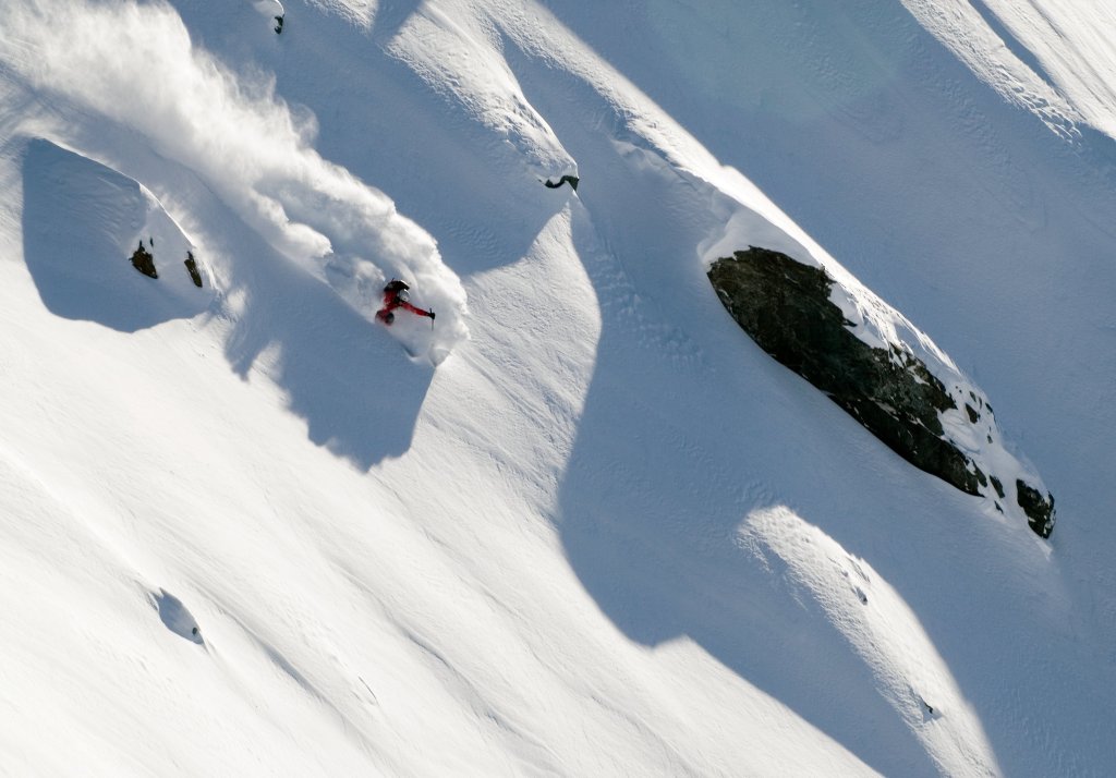
Freeriding in the Diablerets massif is reserved for experts. As the route is lined with steep slopes and interspersed with some narrow passages, the avalanche situation and the map must be studied very carefully! Behind the mountain station of the cable car at Sex Rouge, designed by star architect Mario Botta, the opposite entrance down to the Glacier de Prapio is clearly visible.
First, however, you can take the lifts from the valley station at Col du Pillon to the starting point at Le Dôme. From there, it's a quick descent via the Glacier des Diablerets to the Sommet des Diablerets (3,209 m).
Descent
The descent initially follows the ascent route via the Glacier des Diablerets (caution: glacier break-off in the east) to the saddle west of P. 2,996 m.
From there, leave the ascent route and descend via a north-western slope to the Glacier de Prapio and continue over this. Head east past P. 2,697 m and over P. 2,436 m through a narrow passage to the west. Keep north of the Refuge (2,293 m, usually snow-covered in winter) and then head northeast past P. 2022 m. Via Pierres Noires you reach Prapio (1,655 m), from where you should definitely keep to the hiking trail (be careful, steep forest section!) to get to Creux de Champ. From there, you first follow a path to Le Droutsay and then a cross-country ski trail to Les Diablerets.
Back in the village, several descents are possible on the same day thanks to the PostBus connection from Les Diablerets to the cable car station on the Col du Pillon.
Information
Difficulty: ****
Average steepness/maximum steepness: Sections around 40°, but also more depending on the variant!
Special dangers:The terrain around the route is very steep, a lot of experience in assessing the avalanche danger is necessary!
Exposure: NE, N, NW
Altitude start and finish: approx. 3,000 m | 1.163 m
Altitude difference uphill and downhill: 260 m | 2,040 m
Duration: approx. 3 hours
Best time of year: January - April
Contact:Diablerets Tourisme, 1865 Les Diablerets, phone 024 492 33 58, www.diablerets.ch
How to get there: Travel by public transport: SBB to Aigle, A. S. D. (mountain train Aigle - Sépey - Diablerets) to Les Diablerets, bus Les Diablerets, Post - Col du Pillon. Or: Bus Gstaad train station - Col du Pillon
Private transport: highway to Aigle - cantonal road via Les Diablerets - Col du Pillon. Or: highway to Bulle - cantonal road via Montbovon - Col des Mosses - Les Diablerets - Col du Pillon. Or: cantonal road Spiez - Zweisimmen - Gstaad - Col du Pillon.
Topographical maps: Swisstopo National Map LK 1:25 000 sheet 1285 Les Diablerets, Swisstopo Ski Touring Map LK 1:50'000 sheet 272S St-Maurice,
Tip: Discounted ascent available as ski touring maps.
The north side of the Sex Rouge to the Tête aux Chamois below the cable car cable is also skiable. However, the terrain is very steep and exposed. Therefore, only very experienced freeriders should venture down this route!
This tour comes from the book "The most beautiful freeride tours in the Swiss Alps", which is available here.