Skip to content

Cookies 🍪

This site uses cookies that need consent.

Learn more

Zur Powderguide-Startseite Zur Powderguide-Startseite

Language selection

Search PowderGuide

SnowFlurry

SnowFlurry 7 2019/20 | Assign snow layers to specific time periods

Often possible, especially on sunny slopes

by Lukas Ruetz 01/04/2020
The snow surface has taken a turn for the worse again in terms of skiing. After a Christmas season blessed with powder and good weather, the crowds, wind and sun have left their mark. That's why we'd better get back to a snow profile than skiing.

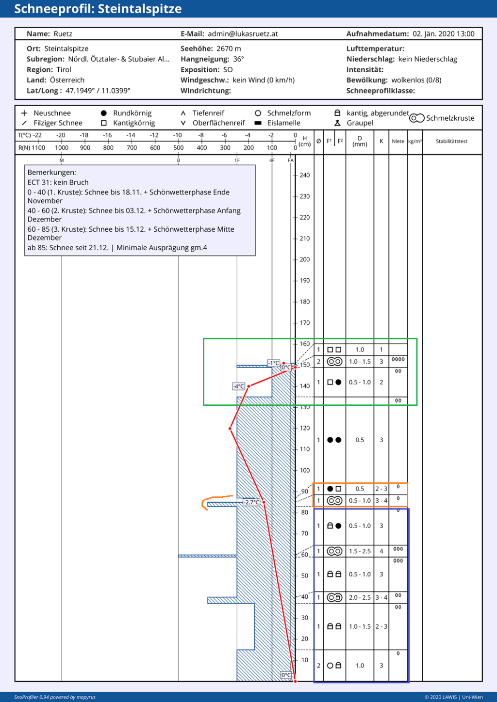
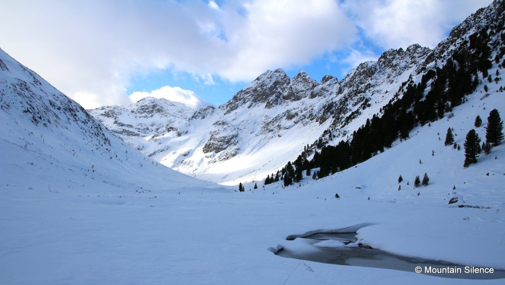
Read profile: Steintalspitze, 02.01.2020, 2670m, SE, 36°

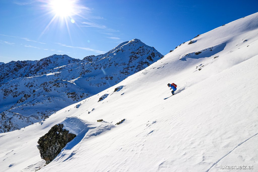
We are on a very steep south-eastern slope here. "Very steep" always means between 35° - 40° slope inclination. Anything steeper than 40° is called "extremely steep", anything from 30° - 34° is called "steep" and anything < 30° is "moderately steep" terrain. This is the official definition of the avalanche warning services. There is about 150 cm of snow in twelve layers here. At first glance, there is no distinctive weak layer as the blue hatching (= layer hardness) is nowhere strongly recessed to the right. On the other hand, we can see several deflections of the hatching to the left. These are crusts. These can be wind crusts or enamel crusts. In this case, we can see four fairly thin melting crusts distributed over the entire snow depth.

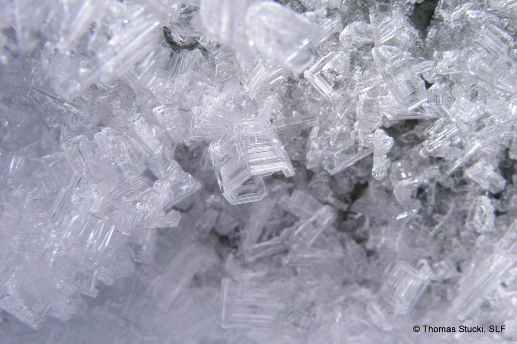
In the upper area (green) of the snowpack, there are signs of earlier build-up transformation. This can be recognized by the existing angular crystals. In the lower two-thirds of the profile (mainly the blue area), you can see evidence of past degradative transformation, i.e. round-grained snow and angular-rounded crystals - as well as a steep temperature gradient that continues to promote degradative transformation. But since the angular-rounded crystals were formerly angular crystals, we also know that the constructive transformation was already at work here a long time ago. But melting transformation was also present: On the one hand in the formation of the fusion crusts, and on the other in the lowest layers in the formation of the fusion form. The crusts were formed either by rain or warm temperatures or solar radiation. The moist melt forms in the lowest layer were probably transformed by the ground heat.

Assigning snow layers to certain snowfall periods or periods of transformation can be very easy, extremely difficult or not possible at all. Like Sherlock Holmes, you have to meticulously record all the evidence and link it to what happened. The crusts are the only way to draw precise conclusions about individual snowfall or fair weather phases. The snow from the heavy snowfall until November 18 with a subsequent fine weather phase ranges from 0 - 40 cm. During this phase, the snow cover settled and became superficially moist on very steep sunny slopes at this altitude. This superficially moist layer subsequently became a melt crust. It then snowed on top of this melt crust again until 03.12. Before the next phase of fine weather followed. Incidentally, there were really good conditions during this time! The snow surface became wet again and then crusted over. That's why you can attribute the 40 - 60 cm of snow to the snowfall in the first few days of December. From 60 - 85 cm the same game again: snowfall, fair weather, crust formation on the snow surface. The snow since 21.12. is above 85 cm.

SnowFlurry
presented by

Test result

ECT31. So neither a partial break nor a complete break in the extended column test.

In German-speaking countries, the extended column test is also often referred to as the "extended compression test". This is a common error. Although the ECT is a further development of the CT (Compression Test), it no longer has the "Compression" in its name.

Interpretation

Avalanche danger

The layer profile including layer hardness and the test indicate a very stable snow cover at this time. There is only one very, very slightly pronounced layer that could theoretically act as a weak layer. The layer with small angular crystals above the melt crust at 85 cm (orange). This is a problem due to the "cold on warm" hazard pattern. When the snow cover was overlaid by cold powder snow again on December 21 after a period of fine weather including superficial moistening, the temperature difference allowed angular crystals to form above the crust. In practical terms, however, the layer is no cause for concern unless it is only exceptionally so weak here. A profile is always just a tiny piece of a mosaic that has to be placed in the overall picture of the snowpack structure using process thinking. Currently, we can see a stable snow cover in this profile. In the future, the snow surface, which has been transformed as it builds up, could become problematic. The angular crystals form a suitable weak layer for overlying drift snow in a subsequent snowfall.

Current transformation processes

On the day the profile was recorded, there is not only evidence of earlier transformation processes as explained in the "Reading the profile" section, but all three types of transformation are still at work at this location at this time: Further ground heat melts more snow in the lowest layer, the melting transformation.

Due to the steep temperature gradient in the lower two thirds, these layers continue to degrade. And due to the flat gradient near the surface, the uppermost area continues to build up during the day and at night. However, the direction of the gradient on the snow surface changes during the day due to solar radiation. When the sun is shining, it is much warmer on the surface than a few centimetres below. In the afternoon, evening and at night, the surface cools down again considerably on this south-eastern slope and becomes much colder than the snow a few centimetres deeper in the snowpack. But the output is the same, a large temperature difference remains. The build-up transformation only changes the direction of crystal growth with the direction of the gradient. However, the type of crystal growth depends only on the strength of the gradient, not on its direction. Only in the daily transition periods at sunrise and sunset is there also a more or less isothermal snow cover for a very short time, i.e. a small or only slight temperature gradient. During this period, the degrading transformation takes over again briefly.

The combination of superficial, constructive transformation and degrading transformation in deeper layers is the optimum way to further reduce the risk of avalanches while at the same time preserving the powder snow. The upper layers become loose and form so-called nap powder. This is snow that hisses like firn but is similar to powder for skiing. However, it is no longer powder snow made from fresh snow, but powder snow made from old snow that has been transformed to build it up. In addition, the superficial layers lose their suitability for a snow slab.

At the same time, any weak layers deeper in the snowpack bond better again due to the degrading transformation. They become more compact and the crystals become smaller. Conversely, superficial degradative transformation or mechanical transformation (drift snow formation) in combination with deeper-lying constructive transformation (weak layer formation) has the exact opposite effect: the risk of avalanches increases while the snow quality decreases.

Note: Transformation processes take place in the smallest of spaces. What is important is not the temperature difference from the surface to the ground, but always from one snow crystal to the next. This explains why all types of transformation can take place simultaneously in different places in the snowpack.

This article has been automatically translated by DeepL with subsequent editing. If you notice any spelling or grammatical errors or if the translation has lost its meaning, please write an e-mail to the editors.

Show original (German)

Related articles

Comments

SnowFlurry
presented by