Skip to content

Cookies 🍪

This site uses cookies that need consent.

Learn more

Zur Powderguide-Startseite Zur Powderguide-Startseite

Language selection

Search PowderGuide

SnowFlurry

SnowFlurry 4 2021/22 | Snow profile review

The pre-Christmas warm-up

by Stefanie Höpperger • 12/25/2021
From 12 to 13 December, a warm front swept in and quickly dashed the anticipation of a white Christmas. Accompanying the rise in temperature, it rained in some areas up to around 2000-2300 m, but the amount of rain was quite low. During the night from 13 to 14 December, the temperature dropped again and it cleared up. The snow surface, which had been moistened by the warmth and rain, cooled down again and a cover formed - resulting in broken slush.

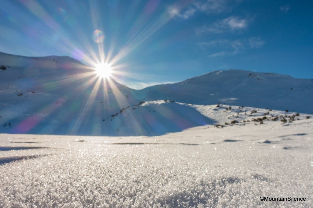
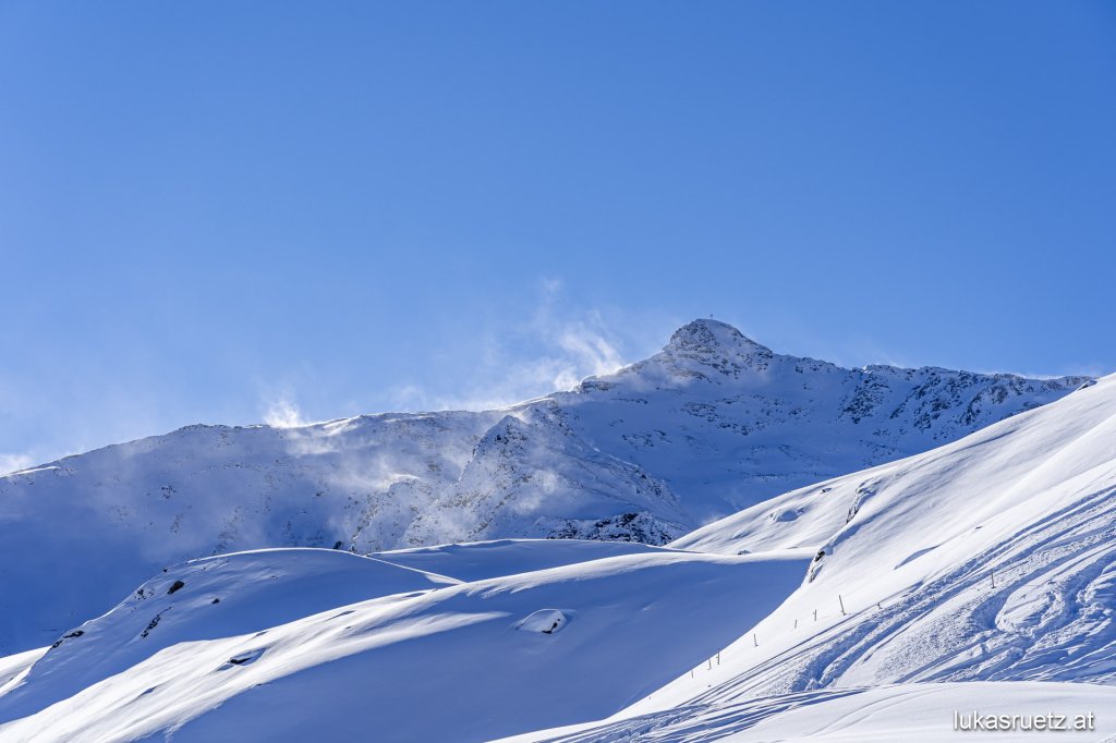
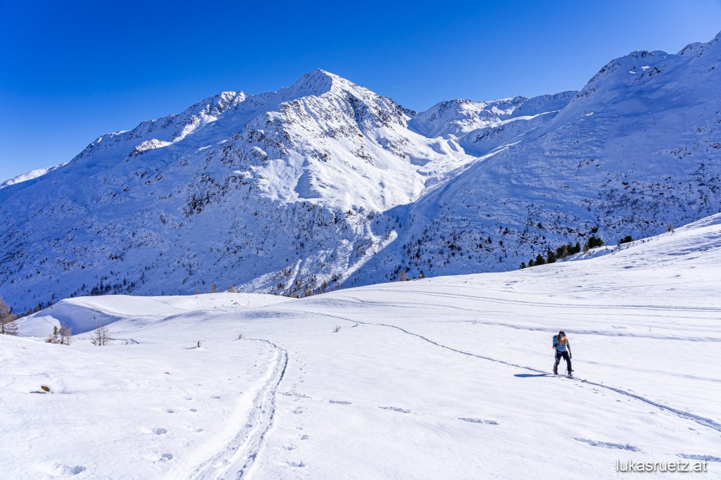
The following days were perfect ski touring weather with sunshine and not too cold temperatures, only the snow quality left a lot to be desired.

In the terrain, the snow quality was very variable: there was a loose snow surface in places, but mainly on slopes with the predominant old snow problem, as well as "firn-like" conditions on steep sunny slopes (although you can't talk about firn yet), broken snow, a very changeable snow surface worked by the wind, slush at lower altitudes in the sun and snow that wasn't too bad to ski on in the forest area.

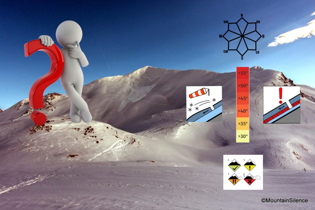
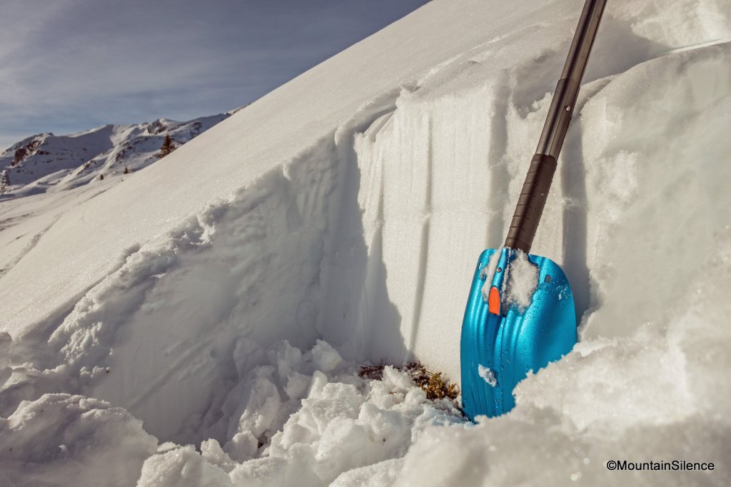
We take a look at a snow profile to see what happened to the snow cover as a result of the warming.

Profile 1:

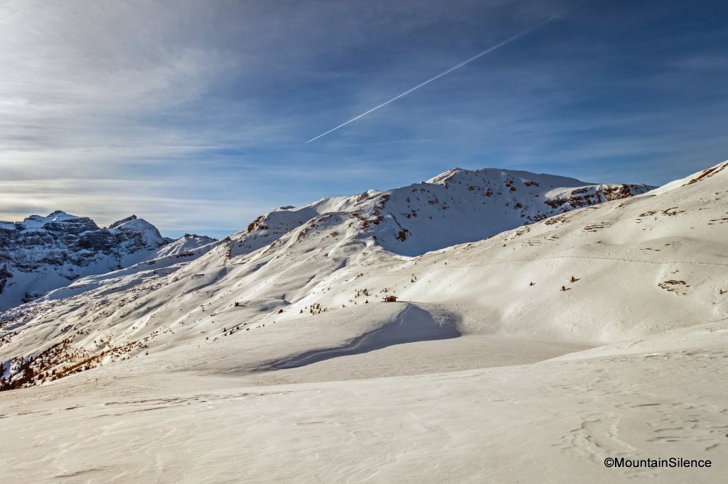
Two days after the warm front moved in on 15.12.21, the snow profile was recorded in the central Stubai Alps, on Kastner Berg. We are at an altitude of 2064 m on an SE exposed, 31° steep slope. The recording time was 13:20, so the sunlight already had quite a strong influence on the snow cover.

The layers:

Yellow:

There is a melt crust on the snow surface, i.e. a crust consisting of melt molds. The individual grains are one millimeter in size and the crust is on the softer side with a hardness of 3-4 (one finger - pencil). This is due to the long exposure to sunlight, which has softened the crust through heat. The solar radiation and the prevailing plus degrees in the ambient air are responsible for the snow surface being slightly moist (2) (see first column).

The snow surface, which is still hard and frozen in the morning, warms up during the course of the day and the crystals begin to melt, increasing the water content. Snow melts when it reaches a temperature of 0 °C.

The crust was formed by the warm front from 12 to 13 December. The warm temperatures in combination with light rain up to approx. 2000 - 2300 m warmed and moistened the snow surface. In the following nights it cooled down again and the sky cleared up, resulting in an exchange of energy between the snow cover and the atmosphere (radiation). The surface cooled down again and the layers with a moisture content froze again. This process of melting and refreezing is repeated as long as temperatures are in the plus range and clear nights prevail. As soon as the temperatures during the day move back into the minus range, this changes, as the solar radiation alone is not yet strong enough to warm the snow cover in early winter.

Below the melting crust is a thin layer of melting molds. This layer is also slightly moist (2). The grains are one millimeter in size and with a hardness of 2-3 (four fingers-one finger), it is softer than the crust above.

SnowFlurry
presented by

Blue:

The top layer, from 58-61 cm, with a moisture content of 3 (water recognizable), is the one with the highest water content. The water in the upper layers seeps downwards (towards the ground) and collects in the colder layers below. Due to the small, round grains with a size of 0.5 mm present here, which have few air inclusions and free spaces between the individual crystals, the meltwater does not move on as easily and collects.

Below this is a 17 cm high layer of round grains. The grains have a size of 0.5 mm and a hardness of 2-3. Here, too, the two in the first column stand for "slightly moist", but this refers to the upper centimetres of this layer.

A small outlier follows from 40-41 cm. A thin layer with round grains and additional angular-rounded crystals. I strongly assume that this is the very cold, loose snowfall from the 2nd to the 3rd of December, which took place at low temperatures. This layer once consisted of angular crystals that have decomposed over time. The layer is dry (-1°C).

Below it is another layer of round grains as a result of the degrading transformation.

The entire blue layer of 33 - 61 cm is the result of several precipitation events from the beginning of December, including the layers marked in yellow above and the purple layer below.

Violet:

The 2 cm thick crust was formed by the heat input from 30.11. to 1.12. including snowfall. Due to the cold snow surface at that time and the warm fresh snow in combination with warm temperatures, a significant temperature difference was created.

It is a fusion crust with angular rounded crystals, a hardness of 4 (pencil) and a grain size of 1.

The kink in the plotted temperature curve of 30 - 50 cm is clearly visible in the areas below the crust (purple) and the third blue layer from below. The coldest measured snow temperature of the entire snowpack is where the rounded crystals are still present. The snowpack is not yet isothermal (constant temperature in the entire snowpack), which still leaves room for the transformation processes.

Green:

This is the precipitation from the end of November. Prior to that, the snow had thawed out again on the sunny side up to high altitudes. The snow layer is dry, as a temperature of 0°C was only measured directly on the ground. The snowpack is compact, has a hardness of 3 (one finger) and consists of 0.5 mm small, round grains.

In the Extended Column Test (ECT), there was a partial break at this porile location on the 18th blow.

Profile 2:

To illustrate what the snow temperature looked like before the warm front moved in on 12/13 December, let's take a look at another profile. It comes from the same valley and a similar altitude and exposure. The profile was recorded on 11.12.21 at 11:37 at an altitude of 2037 m, exposure E (possibly also slightly NE), on a 30 degree steep slope. The temperature gradient in the snow cover is interesting. A temperature of 0 °C was measured on the ground, but -7.8 °C on the snow surface! The accumulating transformation is just scurrying about! At this profile location, however, the temperature difference will not be as small as in profile 1 once the heat has taken effect, rather the opposite. This is because the heat input creates a large temperature difference in the layers close to the surface, which promotes the build-up transformation. An angular layer could therefore form below the crust created by the heat on the snow surface.

In shady slopes, the snow surface continued to cool down considerably even after the warm front and the build-up transformation did not take a break before Christmas! Angular, loose crystals increasingly formed on the surface again. Surface frost was also sighted in many places. Future weak layers are therefore already forming.

In this profile, we can also see an angular layer in the middle of the snowpack, in which a relatively high load (20th blow) led to an ECTP result, i.e. fracture propagation over the entire block.

The snowpack structure remains exciting, but we still hope for some more white splendor from the Christkindl for a few good powder turns!

The SnowFlurry team wishes you a Merry Christmas!

Photo gallery

This article has been automatically translated by DeepL with subsequent editing. If you notice any spelling or grammatical errors or if the translation has lost its meaning, please write an e-mail to the editors.

Show original (German)

Related articles

Comments

SnowFlurry
presented by