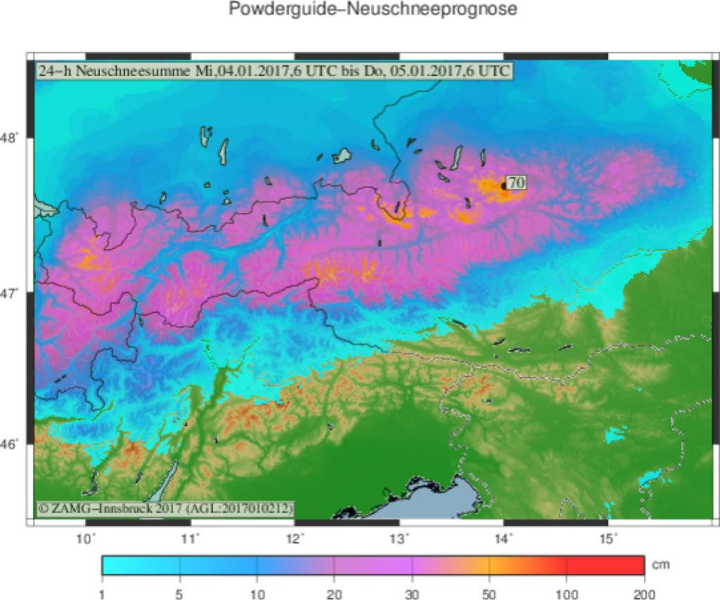
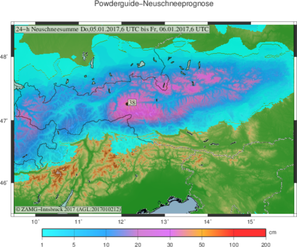
Skip to content

Cookies 🍪

This site uses cookies that need consent.

Learn more

Zur Powderguide-Startseite Zur Powderguide-Startseite

Language selection

Search PowderGuide

PowderAlerts

PowderAlert 7 2016/17 | Snow in the Northern Alps

North traffic jam at last!

by Lars Oelmann 01/02/2017
At last. The time has come: there is a real northerly accumulation in - almost - the entire Northern Alps. For many areas from central Switzerland to Tyrol, this means that the first real snowfall of the season will come on January 5th. Oh well! This also means: don't forget to switch to early season mode. In terms of snow cover, it feels more like early/mid-November here. Further east, there is already a certain base and Ullr serves you powder again. You can actually go freeriding "properly".

Areas and period:

And now we come to the "almost", because this alert applies from central Switzerland to the far east of Felix Austria. In the Bernese Oberland, it should also be enough for alerts, but significantly less. Further west it remains cosmetic. The alert is valid until Thursday evening or Friday morning in the east, as it will take a few more hours for the advancing high to choke off all precipitation.

Wind:

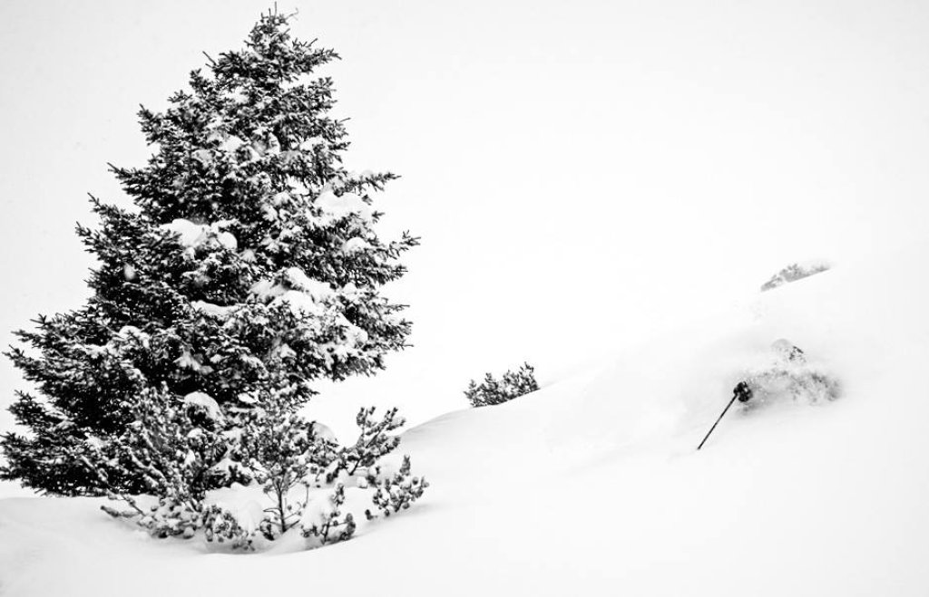
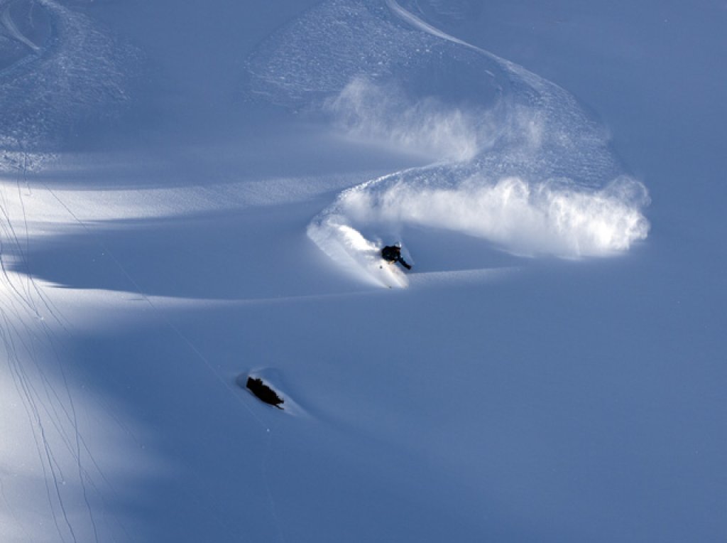
It's going to be pretty windy. Storms and fresh snow usually result in unpleasant surprises in the high mountains. West of the Salzburger Land it is "not so bad" because there is no base there anyway and you are more likely to hit boulders than trigger avalanches, but further east where the last dump has created a base, it gets nasty. So read the LLbs and be careful. (Of course you have to be careful wherever there is snow, but you know that, I think). The good thing is that there's probably quite a bit of snow going through to the main Alpine ridge, so there should be at least 2/3 of the northern thaw there.

Snowfall limit and amounts:

Yeah, well, if you want, you can also go powdering in Salzburg's city center. So: ALL THE WAY DOWN. But, and here comes the warning: it's going to be really arctic, even in the meteorological sense, because we're going to be flooded with real arctic air for the first time in a long time, at least in the east. In Switzerland, it will be within normal wintry limits, but in Austria, the -20°C will be peeking through at 2000m. For all of you who have forgotten what the wind is like in recent years: dress warmly and replace the gangsta bandanas with balaclavas, otherwise you'll have chic black mountaineering frostbite. But the bottom line is also: where there's no wind, it's a first-class blower party in the east.

Ullr's core competence. From central Switzerland to Lower Austria, it will almost certainly be 50-80cm, because the air is cold and the models tend to underestimate what a real northerly storm will push out of the clouds in cold weather. In the far east and in Switzerland it will probably remain at the lower end according to the models. Somewhere from the Arlberg to Styria, the meter will also be cracked in the accumulation holes, I think, because the cold allows significantly different values when calculating moisture=powder than we are used to from the warm winters. The question is whether there will be an extra 20cm from Salzburgerland to Styria from Thursday afternoon to Friday morning, because it's been accumulating there for longer and the high is not coming so quickly. So I'm saying it might even go up to 120cm, thanks to the Arctic bonus, but we haven't had a situation like this for ages, so I could be wrong, because I'm so happy about the northern congestion. In the Bernese Oberland it should also be enough for 20-40cm, which is unlikely to trigger tears of joy at the base there.

Where should I go?

You are young - or old, we don't discriminate here - have money and time (hehe paradox!) and would like to immerse yourself as deeply as possible in Ullr's gifts: then off to the east, east of Salzburgerland with a base, because here you can probably play in the trees on Wednesday and Thursday too. It won't clear up there until Friday, so you can visit a ski resort with alpine terrain. West of Salzburg, you might be able to venture onto your favorite meadow on Thursday, but not before. In Switzerland and western Austria, the sun can peek out here and there on Thursday afternoons and illuminate the delicate powder layer on the rocks in the alpine terrain. You'll have to decide what to make of it, but I'd take a very cautious approach.

Medium-term:

It doesn't look bad now, but nothing groundbreaking in the direction of a dream winter 2017. In general, a lot is still unclear from the weekend onwards. After all, further alerts are not categorically ruled out. So keep on praising Ullr and hope that this episode won't be a flash in the pan.

Here's the snow height tip game for the current alert.

Powder to the people!
Your oracle

And please stay alive despite the powder lust!

This article has been automatically translated by DeepL with subsequent editing. If you notice any spelling or grammatical errors or if the translation has lost its meaning, please write an e-mail to the editors.

Show original (German)

Related articles

Comments