Skip to content

Cookies 🍪

This site uses cookies that need consent.

Learn more

Zur Powderguide-Startseite Zur Powderguide-Startseite

Language selection

Search PowderGuide

PowderAlerts

PowderAlert 3 2021/22 | All systems Go!

Houston, we have a base. I repeat: we have a base!

by Lars Oelmann 11/30/2021
Get ready for freerider drop. The ongoing alarm, or rather the small appendage at the moment, ensures that the forecast amounts are even exceeded. More than a meter of fresh snow has fallen on the northern slope of the Alps. Good thing Ullr doesn't have to work from home!

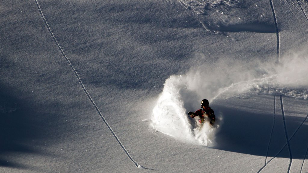
So Ullr thinks: "Here's to another one!" and treats us to a batch of snow that will fall until Friday. Alarm 4 is probably waiting for us at the weekend, but more on that in the outlook. Let's hope that the Ullrprise spaceship continues to set off at full speed into unknown snow worlds and that it won't be a bleak winter in terms of snow.

Alert period and areas

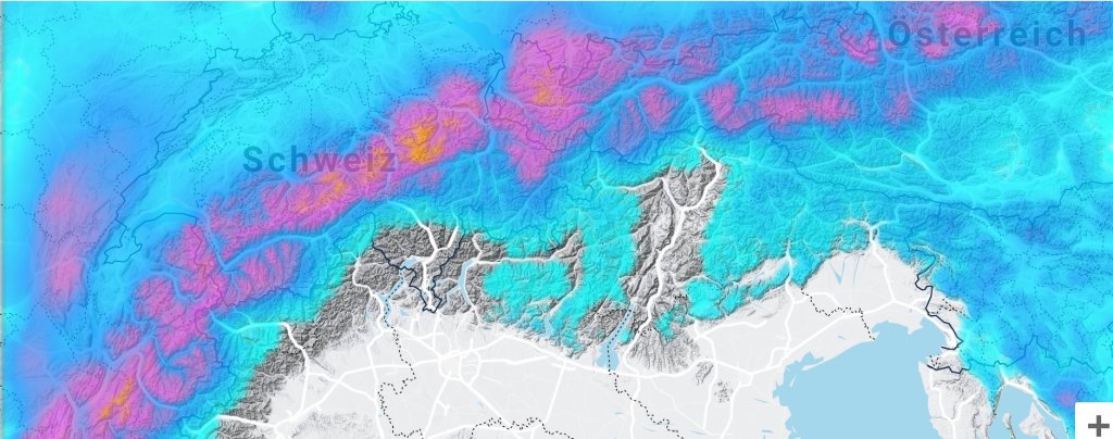
Once again, the northern Alpine arc, from France to eastern Austria. This time, however, the focus is more on France to the Arlberg, as we have a fairly westerly flow and less to the north.

The alert lasts until Friday in the early morning.

Wind

A stormy westerly wind is blowing at the moment, on Wednesday and also on Thursday, so that although there are full amounts far into the inner Alps, extremely nasty snow slabs are also accumulating on the converted base from early November.

Snow line

It will start Wednesday afternoon higher up between 1700m in the west and 1200m in the east, but will quickly drop further down into the valleys tomorrow evening and Thursday. In the inner Alps, such as in Valais or in the Inn Valley, it can also be lower all the time.

The full amounts come from 1400m in the west and 1000m in the east.

The amounts

From the Arlberg to France, 30-50cm are widespread and in the classic westerlies, such as on the Arlberg or parts of France, it can also be 60-70cm. East of the Arlberg, we're scratching around the alarm limit with 25-40cm. As the precipitation comes quite quickly and is tied to fronts, there will probably be no surprises like in Alert 2.

Where should I go?

During the snowfall, I would stick to the relevant alpine meadows, because the cold base in the forest is probably still too thin and won't hold up. Friday is the only sunny day of the week and the lucky home office freeriders can perhaps carefully check out the ski area above the tree line to see how reactive the weak layer is and where the sharks are lurking in the snow. But I would recommend an extremely tightened handbrake. On the avalanche and rock side.

Medium term

It's still snowing. Saturday, Sunday and so on until at least Tuesday. An alert for Saturday-Sunday will be issued on Friday. If you want to take a pre-Christmas vacation, you might want to plan for next week.

From the middle of next week, the oracle's crystal ball is very hazy. Anything can happen, even warm and dry is possible. So: Off to the Ullr shrine and help our winter navigator Ullr to keep the powder ship on course by sacrificing beer!

Powder to the People!

Your oracle, who is really looking forward to ski day 1.

This article has been automatically translated by DeepL with subsequent editing. If you notice any spelling or grammatical errors or if the translation has lost its meaning, please write an e-mail to the editors.

Show original (German)

Related articles

Comments