Skip to content

Cookies 🍪

This site uses cookies that need consent.

Learn more

Zur Powderguide-Startseite Zur Powderguide-Startseite

Language selection

Search PowderGuide

PowderAlerts

PowderAlert 11 2022/23 | A dump, not a joke!

Easter greetings from Ullr

by Lars Oelmann 03/30/2023
Just in time for the end of the season and the first of April, Ullr proves to have a special sense of humor and sends us another alarm. One wonders why he wasn't able to increase the frequency of alerts three months ago, but Ullr's disciples are patient and happy for any blessing.

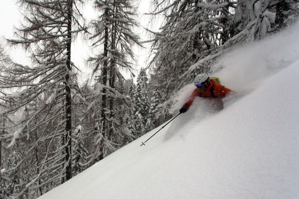
This time, the alarm also comes just in time for the weekend, although the sun won't shine again until Monday for students and Easter vacationers. More details below. This time, there is even some snow left as a base below the tree line, so it could be enough for trees.

Alert period and areas

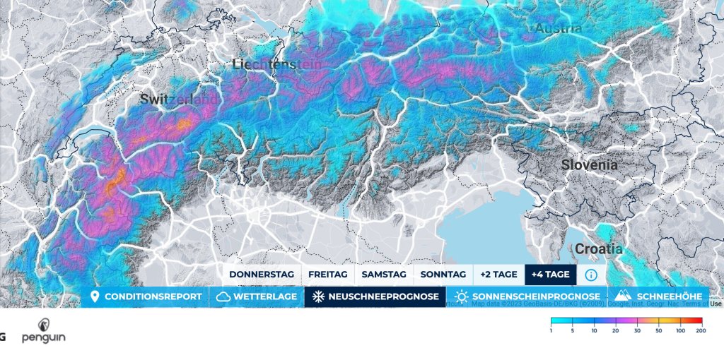
The snow is coming from the west and, as is often the case, it means: Hautes Alpes to the Arlberg, with a core from the Lower Valais to northern France.

Sunday evening the show is over and the snow-up comedian Ullr leaves the stage.

Wind

Storm from the west, with the wind easing a little on Sunday and possibly allowing powder topping further up.

Snow line

First at over 2000m, then improving from Friday afternoon and falling towards 1400-1500m. Sunday then snow between 1200m in France and below 1000m in the north. We'll focus on both amounts, but the total will only come from 2200m upwards.

The amounts

Let's start with the total amounts and work our way to the important details. Total amounts for Monday above 2200m: 40-70cm from the Arlberg to the Valais and 60-90cm in the core, whereby the meter will certainly also be full in accumulation holes in the core.

The interesting amounts for the weekend, however, are those that will arrive in the trees from Friday afternoon: There will be about 30-40cm in the core in the west by Saturday and then 20-30cm on top by Sunday. In the north it will be 15-30cm and 10-20cm.

Where should I go?

I'd look for somewhere high up in the core in the west for the weekend and stay there until Monday. In the north, only Sunday will be fun in the trees.

Monday it will clear up and it should be cold and fine up there. The days after that will probably remain cool and sunny and you can plan a good week of Easter touring.

Mid-term

It will probably remain quite dry and pleasantly warm, so there should still be plenty to do on the north side. Dumps are not necessarily on the list until next weekend.

Powder to the people !

Your oracle

Snow depth prediction game

The snow depth prediction game will take place at the station "Ecreuleuse (2252m)" from 30.3. to 2.4. 22:00h: Post your tip in the PowderGuide.com forum by Friday, 31.3. at 22:00 -> competitions !

This article has been automatically translated by DeepL with subsequent editing. If you notice any spelling or grammatical errors or if the translation has lost its meaning, please write an e-mail to the editors.

Show original (German)

Related articles

Comments