Skip to content

Cookies 🍪

This site uses cookies that need consent.

Learn more

Zur Powderguide-Startseite Zur Powderguide-Startseite

Language selection

Search PowderGuide

PowderAlerts

PowderAlert 10 2016/17 | Complex situation with snow in the south and west.

It's a bit complicated with Ullr.

by Lars Oelmann 02/01/2017
It's a bit complicated with Ullr. First he sends more snow to the north than expected, but also a high snow line. Now he changes the setup without further ado and less snow is expected in the south, but more in the west. In addition, it may only be the first alert and a second one will follow on Saturday for Sunday Monday.

Duration and areas:
This alert is valid until Saturday noon and from the French Alps via Ticino in the Southern Alps eastwards to Slovenia.

Snowfall limit:
In the alert areas between below 1000m in Ticino and about 1400-1700m in the French Alps and the Italian Eastern Alps. Tending to be lower everywhere towards Saturday.

Wind:
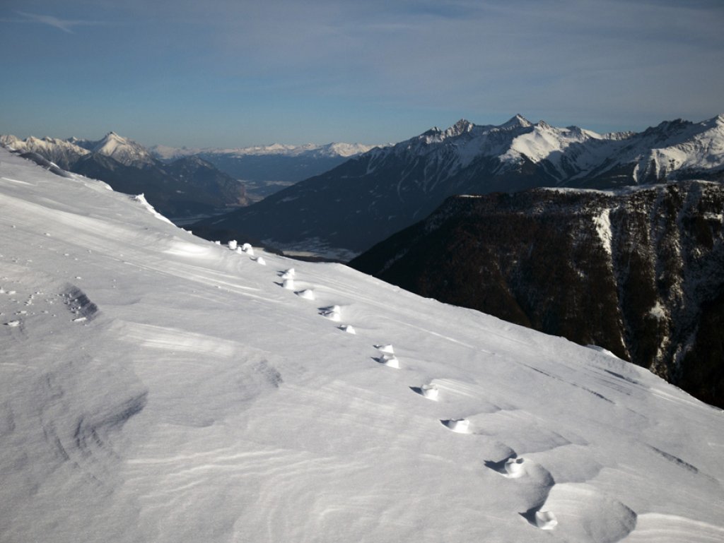
A strong south-westerly to westerly current is causing powerful storms in the mountains. This means that there will be extreme drifting at the top and in the areas without a base from Ticino eastwards (in the south-east) it will also be impossible to ride. Otherwise, as always with so much wind: very dangerous.

Amounts:
Widespread 30-50cm of fresh snow in the entire alert area. In the hotspots of the southwest congestion - such as southwest of the Ecrin massif, parts of the Maritime Alps, from Ticino via the Upper Engadine to the Adamello and in the Italian-Austrian-Slovenian triangle - 60-70cm can also accumulate. Maybe one or two water holes will scratch the 80cm mark, but that shouldn't happen more than once or twice.

Where should I go?

Well, given the location, it's like squaring the circle, because if you want a base, there are only parts of Ticino or the Simplon region in the west and south where there is enough fresh snow. So that would probably be the best option for Saturday. Otherwise, I'd take a look at my favorite meadow in the backwaters of the wide alert area, because remember: in the south and west, we're still largely in early winter mode at the beginning of February.

If you're planning for the longer term, you might want to head west and take the - probable - alert on Sunday and Monday with you.

Medium term:

Another alarm is probably in the starting blocks for the west on Sunday and Monday. Whether it will then snow again in the north from Wednesday or again in the west, or not at all, is really too early to tell. But I'm already saying #EightMeterSnow. If it does, I'll be the first to know! But it's going to stay cooler and every model has a low in it from time to time that could sneak up on the Alps somewhere. So: stock up on Ullrschreine and keep your fingers crossed!

Powder to the people!

Your oracle.

Here's the prediction game for this alert.

This article has been automatically translated by DeepL with subsequent editing. If you notice any spelling or grammatical errors or if the translation has lost its meaning, please write an e-mail to the editors.

Show original (German)

Related articles

Comments