Skip to content

Cookies 🍪

This site uses cookies that need consent.

Learn more

Zur Powderguide-Startseite Zur Powderguide-Startseite

Language selection

Search PowderGuide

PowderAlerts

PowderAlert 1 2019/20 | First attempts at sliding in the south at last

Tentatively, but still!

by Lars Oelmann 11/11/2019
New winter, new happiness. All aboard the Pow Train! Uh, or something like that. Nice to be back. Now that there's a minimal base from 2000-2200m, which even goes further down in places, you might even be able to ride the upcoming minidump carefully. Ullr is slowly warming up and will be sending some supplies until Wednesday evening to even out the settlement. In the east, however, there could already be quite a lot after this alarm.

Will there still be a crisp alarm on Thursday? More on that after the commercial break.

Ski more powder and look younger with this cool trick! Okay... okay... just ride more powder and even on the weekend? Just scroll down to mid-term!

Alert period and areas

This alert covers the Southern Alps from Ticino to Slovenia. The core is somewhere in eastern Italy in the Dolomites or Trentino. The period lasts until Wednesday evening.

Wind

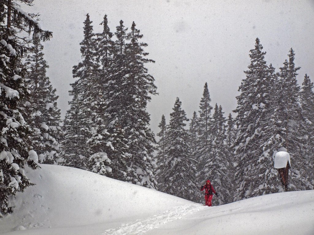
It's not that scary and the whole thing will also be distributed quite symmetrically further up, as the low pressure system will be moving leisurely into the Alps until Wednesday. There will also be some further west, but not as much as in the core area. It's generally wetter in the east and the flow is a little more committed, so it could work out quite well in the Tauern with a load of fresh snow.

Snowfall limit

In the western part of the alert area around or just above 1000m. In the east somewhere between 1200 and 1800m depending on the day (this varies somewhat) and how inner-Alpine you are.

The amounts

In the west around 30-60cm, with 60cm more likely in the Adamello and Upper Engadine than in Ticino. On the way to the core there will be 40-80cm and in the core 60-100cm of snow. The wide range is due to the coziness of the location, so that small-scale windward and leeward effects can lead to big changes in results.

Where should I go?

The weather is likely to remain rather cloudy the whole time, so you should seek out higher alpine meadows and possibly very light trees. Further up, the visibility will probably not be too bad, especially towards the main ridge, but looking for rocks and crevasses in flat light in the early season is not recommended.

Mid-term

For all weekend warriors, here's the good news: Ullr loves us and there will almost certainly be another alert on Wednesday evening for the period Thursday to Friday evening. I won't say anything about the amounts yet, because Italian lows have the stupid habit of delivering a range between 20 and 120cm in the models 5 days in advance. But it's pretty certain that something is coming because all the models are seeing it. Whether you can then step on the gas a bit more and it will open up in places or whether it will stay closed and you should stay down: More on this on Wednesday evening.

So slowly you can mount the new setup, dust off the Ullrschrein and tell your summer hobby friends that you are now in the other Whatsapp group for 6 months.

Powder to the people!

Your Oracle

This article has been automatically translated by DeepL with subsequent editing. If you notice any spelling or grammatical errors or if the translation has lost its meaning, please write an e-mail to the editors.

Show original (German)

Comments